
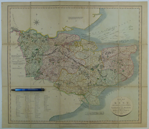


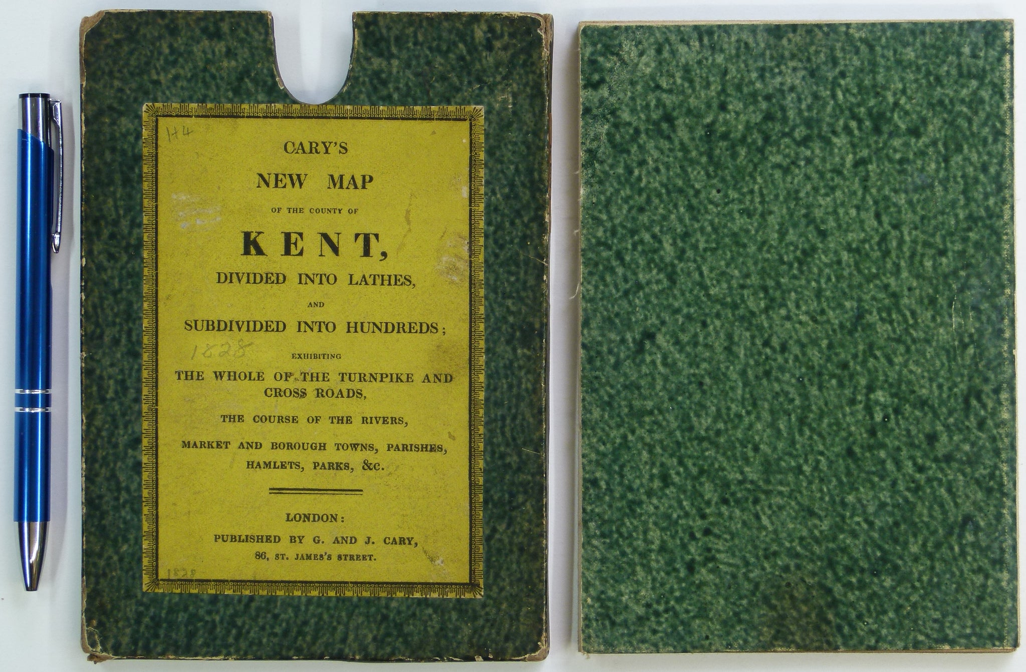
Cary, John. (1828). A New Map of Kent. London: John Cary. With William Smith's geology engraved but coloured over.Hand coloured engraved map 51.5 x 59.5cm
Cary, John. (1828). A New Map of Kent. London: John Cary. Hand coloured engraved map 51.5 x 59.5cm dissected, mounted on linen and folded to 17.5 x 12cm between marbled card covers and fitting into original marbled card sleeve with label indicating J and G Cary as publishers. There are light pencil annotations on sleeve label and back of map. Age-toned but clean and in very good condition.
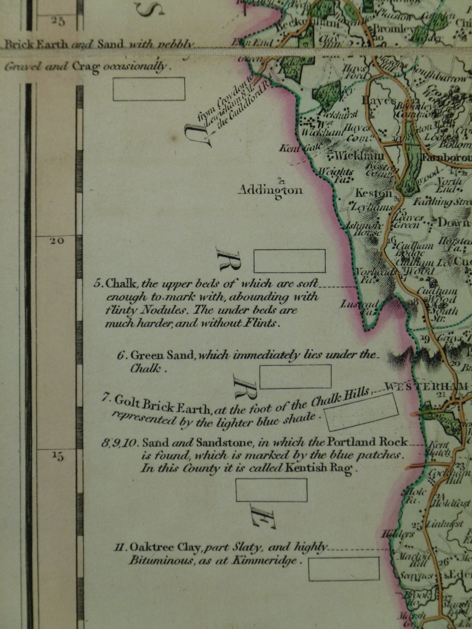
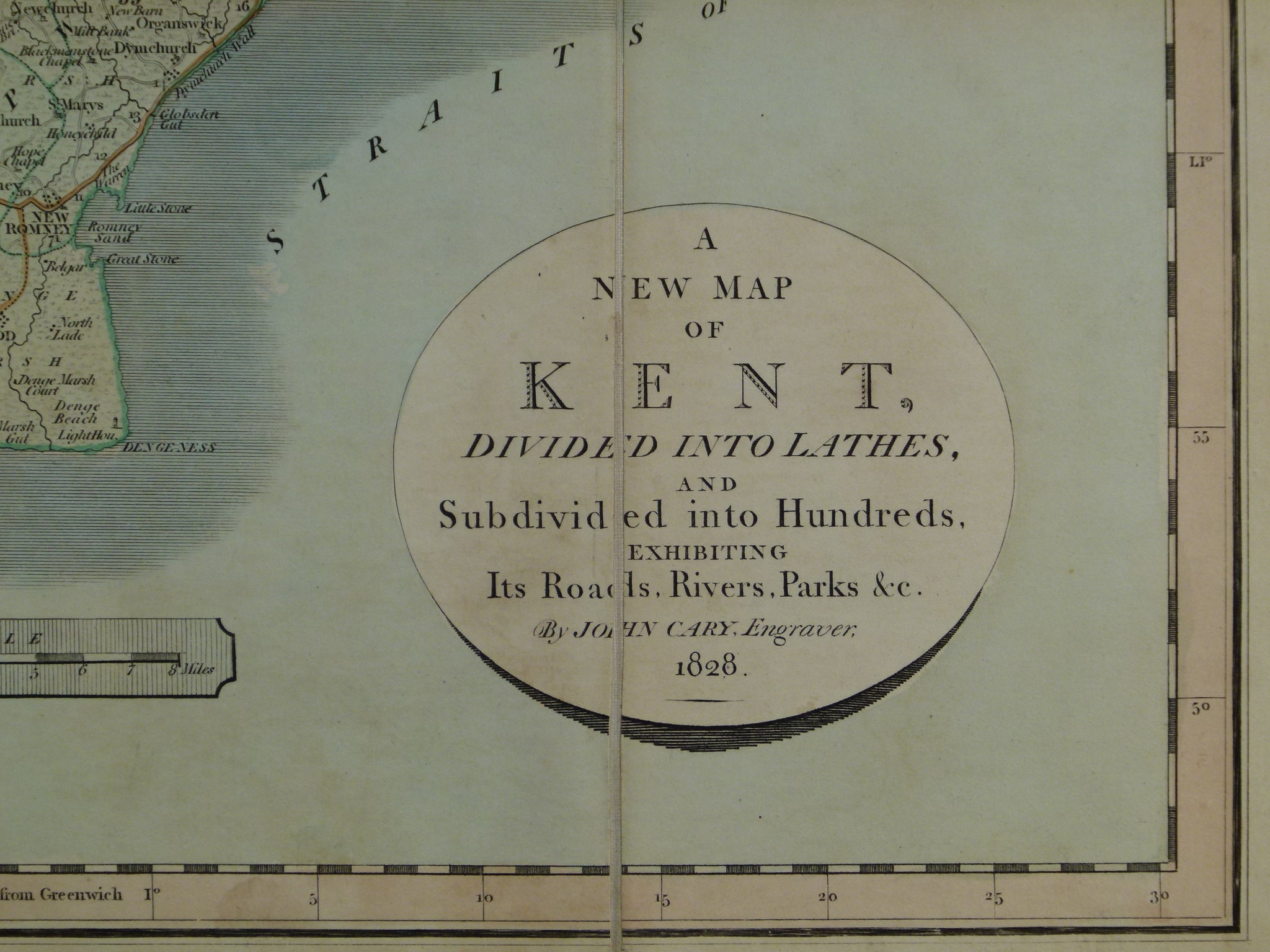
This map was issued in 1819 as Geological Map of Kent by William Smith, Geologist. this title was placed in the top margin while the original title was retained in the circular frame in the lower right corner. Smith’s geological boundaries were added. There was not space for a conventional legend in the spaces around the county, so, the legend elements were added as individual ‘tablets’ for colour and placed opposite the relevant lithologies on Cary’s original map of Kent of 1809. John Cary Sr. retired c.1820-21 and his sons John Jr and George inherited the business. In 1823 they terminated William Smith’s county atlas project. Cary’s sons recycled the maps but removed only the title in the top margin. There was no other revision apart from changing the date under the title and in the bottom margin.