
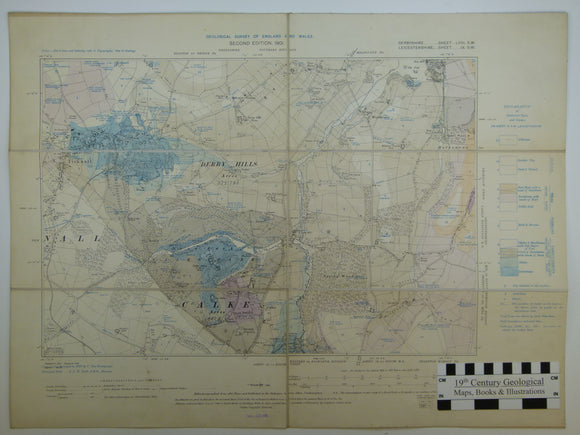


Derbyshire 58nw and Leicestershire 9sw – parts. 6” (1905). Calke Abbey and Ticknall, base map 1901, geologically surveyed 1898 by C. Fox-Strangways
Derbyshire 58nw and Leicestershire 9sw – parts. 6” (1905). Calke Abbey and Ticknall, base map 1901, geologically surveyed 1898 by C. Fox-Strangways. Hand-coloured lithograph. Dissected and mounted on linen, 44 x 59cm, and folded between red card covers, 29.5 14.5cm. Hand colouring covers approx. 80%. In very good condition.
About the England Six Inch County Series (later edition)
These early 20th century geological maps are at 1:10,560 scale, based on county layout. Each sheet covers 2 x 3 miles in considerable detail.