Free UK postage
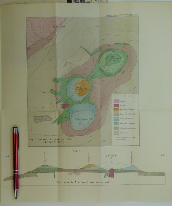
McRobert, Rachel W., (1914), ‘Geological Map of the Eildon Hills’. Fold-out colour printed geological map and section, 1:10,560. QJGS.
McRobert, Rachel W., (1914), ‘Geological Map of the Eildon Hills’. Fold-out colour printed geological map and section, 1:10,560 (six inch to the mile), 37.5 x 37cm in ‘The Acid and...
Regular price £1200 £12.00
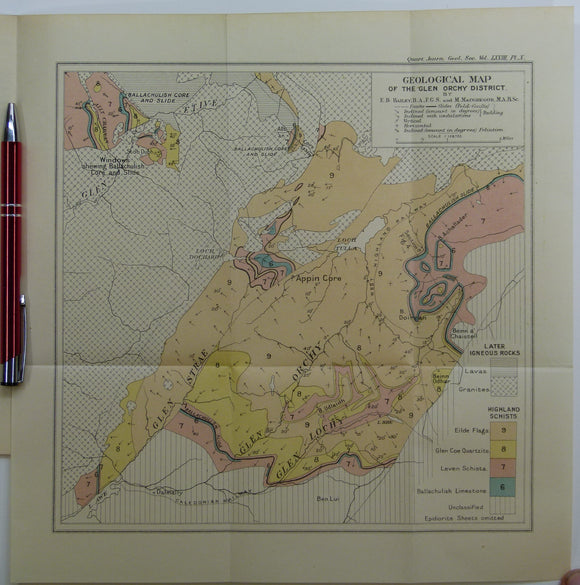
Bailey, Edward B, (1912), ‘Geological Map of the Glen Orchy District. Fold-out colour printed geological map. QJGS.
Bailey, Edward B, (1912), ‘Geological Map of the Glen Orchy District. Fold-out colour printed geological map, 1:126,720 (2 miles to an inch), 27.5 x 27cm in ‘The Glen Orchy Syncline’...
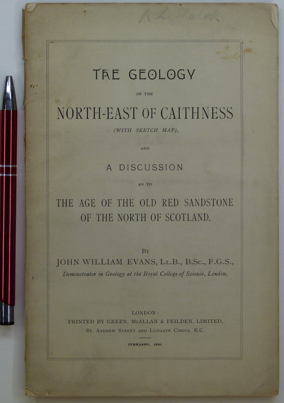
Evans, John W., (1891), geological map (untitled) of North-East Caithness. Fold-out b/w printed geological map. private publication.
Evans, John W., (1891), geological sketch map (untitled) of North-East Caithness. Fold-out b/w printed geological map, approx. 1:253,440, 42.5 x 37cm in ‘The Geology of the North-East of Caithness’ privately...
Bryce, James. (1873). ‘[Geological] Map of the Islands of Skye and Raasay’, colour printed map with sections,. Geological Society of London.
Bryce, James. (1873). ‘[Geological] Map of the Islands of Skye and Raasay’, colour printed map with sections, scale not given, approx. 1:400,000, 21.5 x48cm, , in extract from the Quarterly...
Goodenough, K, et al (2007). Exploring the landscape of Assynt. British Geological Survey, 56pp. Reprint of 2004 1st edition. British Geological Survey.
Goodenough, K, et al (2007). Exploring the landscape of Assynt. British Geological Survey, 56pp. Reprint of 2004 1st edition. Set of paperback guidebook and folded map colour-printed 1:50,000 map packed...
Regular price £1000 £10.00
Richey, JE. (1932). ‘Tertiary Ring Structures in Britain’, extract from , Transactions of the Geological Society of Glasgow, v.19, pp.42--140. Geological Society of Glasgow.
Richey, JE. (1932). ‘Tertiary Ring Structures in Britain’, extract from , Transactions of the Geological Society of Glasgow, v.19, pp.42--140. Neat DIY paper cover, stapled . two foldout plates. Includes ring...
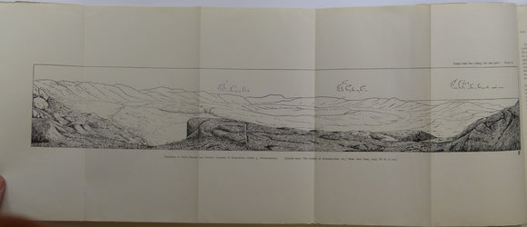
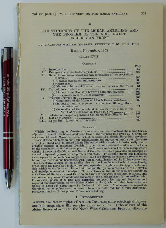
Kennedy, Wm. Q. (1955). ‘Geological Map of the Morar Anticline, West Inverness-shire’, fold-out b/w map with sections,. Geological Society of London.
Kennedy, Wm. Q. (1955). ‘Geological Map of the Morar Anticline, West Inverness-shire’, fold-out b/w map with sections, 1:126,720, 21.5 x 56cm in an extract from the Quarterly Journal of the...
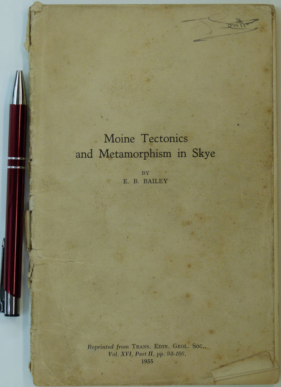
Bailey, E.B. (1955). ‘Moine Tectonics and Metamorphism in Skye’, in reprint from Trans. Edinburgh Geological Society. Edinburgh Geological Society.
Bailey, E.B. (1955). ‘Moine Tectonics and Metamorphism in Skye’, in reprint from Trans. Edinburgh Geological Society, v.16.pt.2, pp. 93-166. Age-toned, worn, and dog-eared. Signature of previous owner, J. Sutton, and...
Regular price £800 £8.00
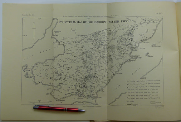
Johnson, MRW., (1960), ‘Geological Map of the Geology Lochcarron - Wester Ross’, B/w printed map, 1:31,680. Royal Society of Edinburgh.
Johnson, MRW., (1960), ‘Geological Map of the Geology Lochcarron - Wester Ross’, B/w printed map, 1:31,680, 31x48cm. in ‘The Structural History of the Moine Thrust Zone at Lochcarron, Wester Ross’,...
Regular price £700 £7.00
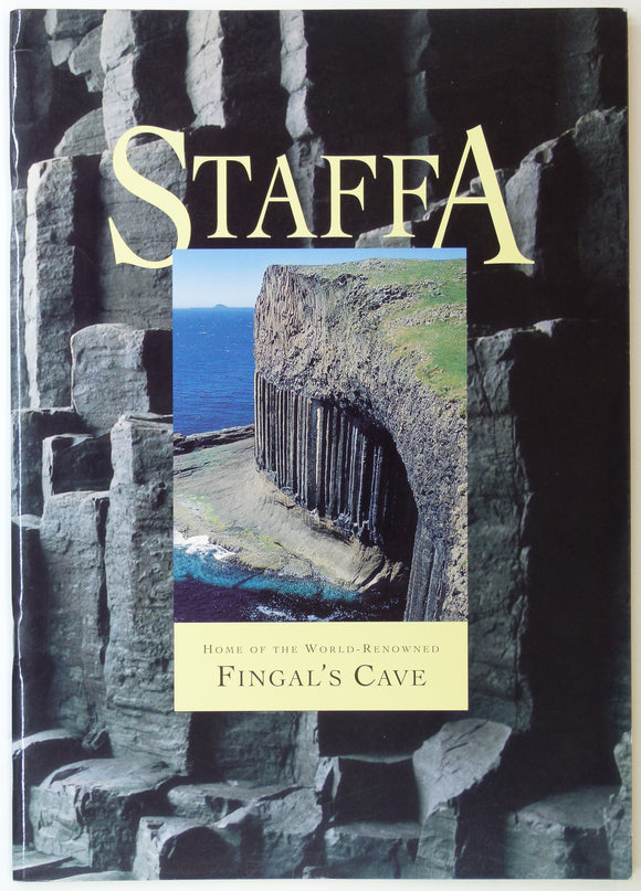
Watteville, A. de. (1993). Staffa: Home of the World Renowned Fingal’s Cave. Romsey Fine Art, Romsey. 22pp. Romsey Fine Art.
Watteville, A. de. (1993). Staffa: Home of the World Renowned Fingal’s Cave. Romsey Fine Art, Romsey. 22pp. A4 format paperback with fine colour reproductions of historic prints and modern photos...
Regular price £600 £6.00
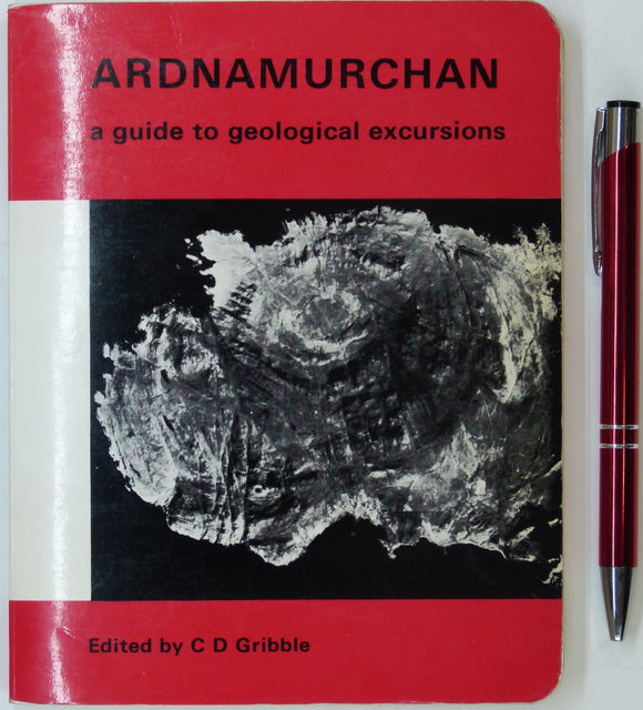
Gribble, CD (ed), 1976. Ardnamurchan; a Guide to Geological Excursions. Edinburgh Geological Society, 122 pp. 1st edn. Edinburgh Geological Society.
Gribble, CD (ed), 1976. Ardnamurchan; a Guide to Geological Excursions. Edinburgh Geological Society, 122 pp. 1st edn. Paperback, stiff card covers. Includes map in back pocket, Map of Tertiary Igneous...
Regular price £550 £5.50
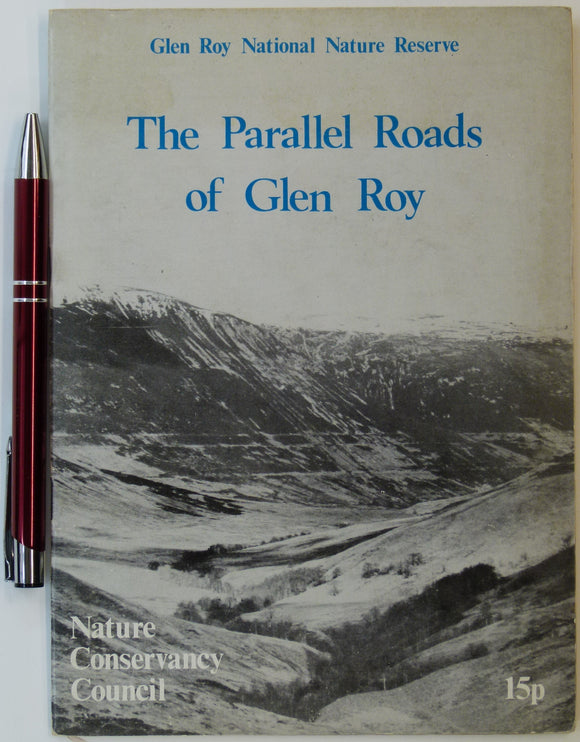
Sissons, J.B. (n.d.). The Parallel Roads of Glen Roy, Nature Conservancy Council, London. 8pp. + 4 fold-out large scale b/w landform maps. Nature Conservancy Council.
Sissons, J.B. (n.d.). The Parallel Roads of Glen Roy, Nature Conservancy Council, London. 8pp. + 4 fold-out large scale b/w landform maps of valley detail, each 21.5 x28cm. In very...
Regular price £200 £2.00


![Bryce, James. (1873). ‘[Geological] Map of the Islands of Skye and Raasay’, colour printed map with sections,](http://geolmaps.com/cdn/shop/products/BryceSkye_Raasay1873_1_{width}x.jpg?v=1619628970)
![Bryce, James. (1873). ‘[Geological] Map of the Islands of Skye and Raasay’, colour printed map with sections,](http://geolmaps.com/cdn/shop/products/BryceSkye_Raasay1873_1_580x.jpg?v=1619628970)