
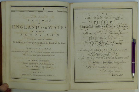


Cary, John (1794). Cary's New Map of England and Wales, with part of Scotland. London: J. Cary. 81 double page maps. 1st edition, first impression.
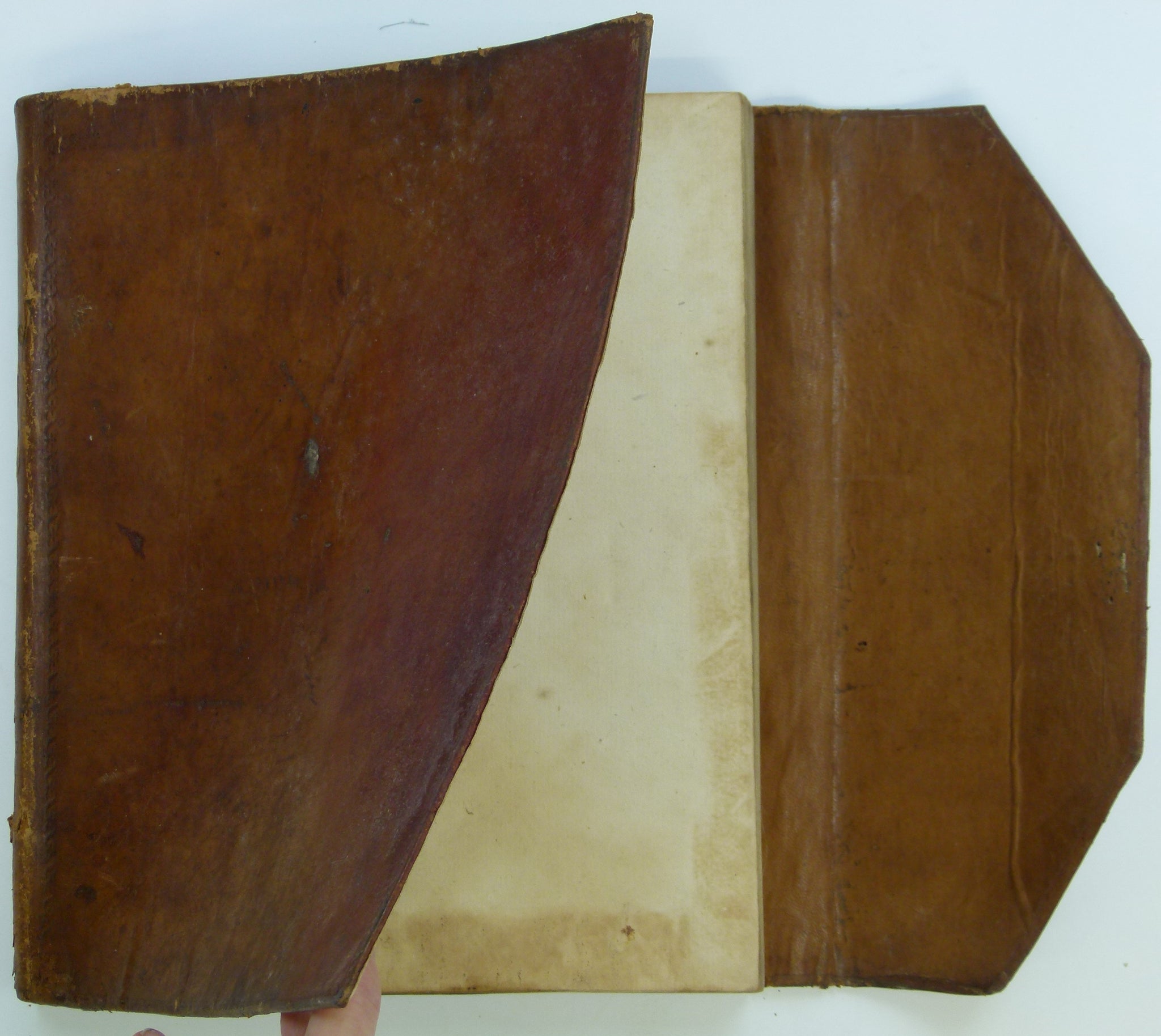
Cary, John (1794). Cary's New Map of England and Wales, with part of Scotland. London: J. Cary. 81 double page maps + index map + 85pp gazetteer + 3pp list of subscribers. 1st edition, first impression. Original leather wrap binding in good condition, the fold of the wrap around portion is desiccated with surface flaking mostly likely from being doubled over when the atlas was in use. The spine is worn but the gilt lettering is legible, the covers have tooled edge decoration, some shelf-wear and the shine of much handling. The binding is sound. On the back, the first owner’s name is stamped and there are four small holes of some small pest long ago halted. The cover is in good condition. The atlas pages are age-toned but clean and unmarked. There is occasional light transferring between facing pages. Coasts, county boundaries, parks and main roads are hand-coloured. Clear plate marks. In very good to fine condition. There is very limited pest damage at the top edge of the back free end-papers which penetrates only three sheets and, again, ended long ago. Overall, in very good condition.
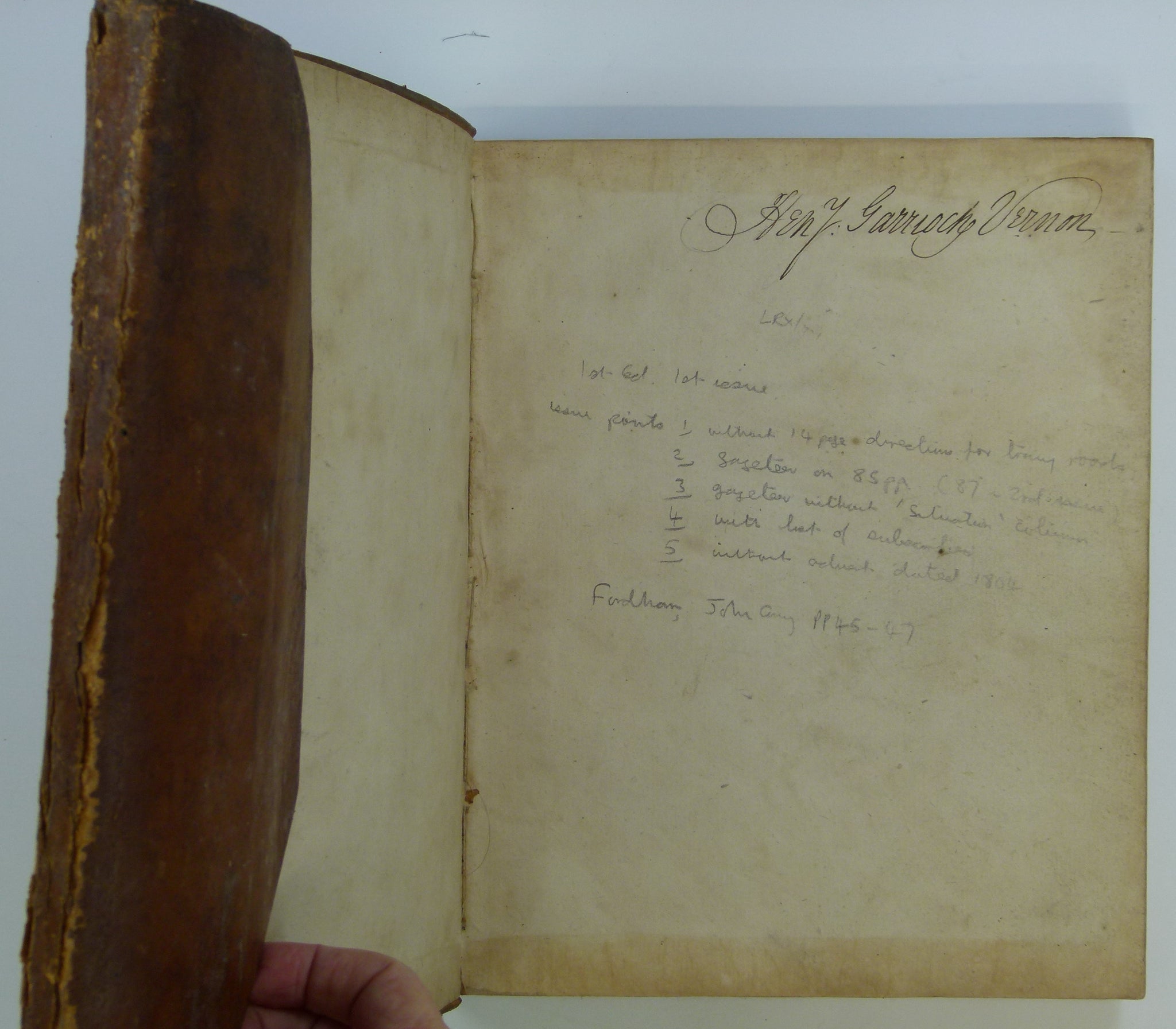
Signature of Rev Henry Garrioch Vernon (1759-1837), a subscriber to this atlas, is on the front free endpaper. He was the rector of White Ladies Aston in Worcestershire, St Clement Danes in London, and Great Bromley in Essex. Watermarks observed on several pages, variously ‘Lepard’, ‘Lepard 17, and ’94’, suggest the papermaker, William Lepard (active 1757-1798), of Queenhithe, London, produced the paper in 1794.
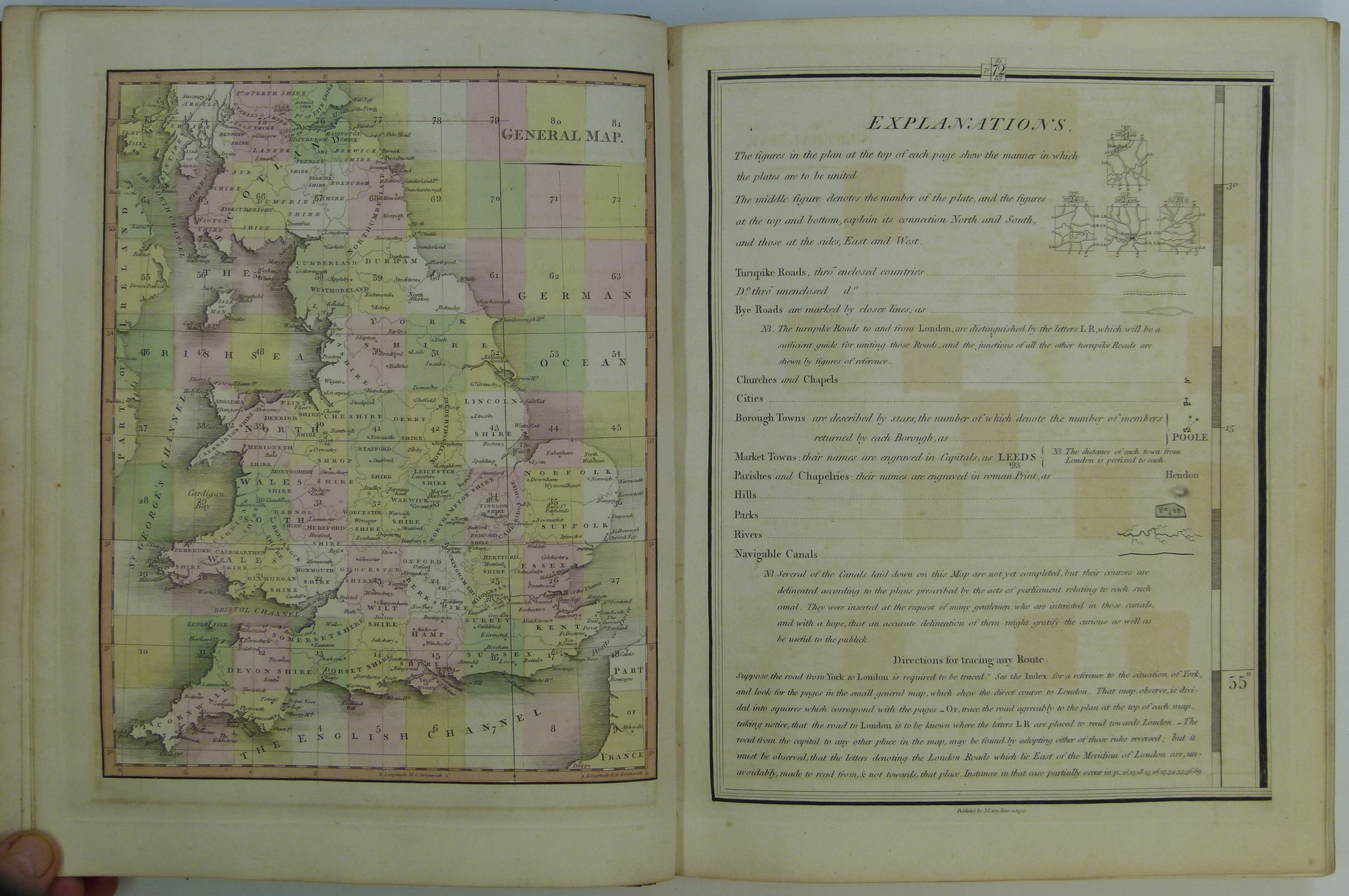
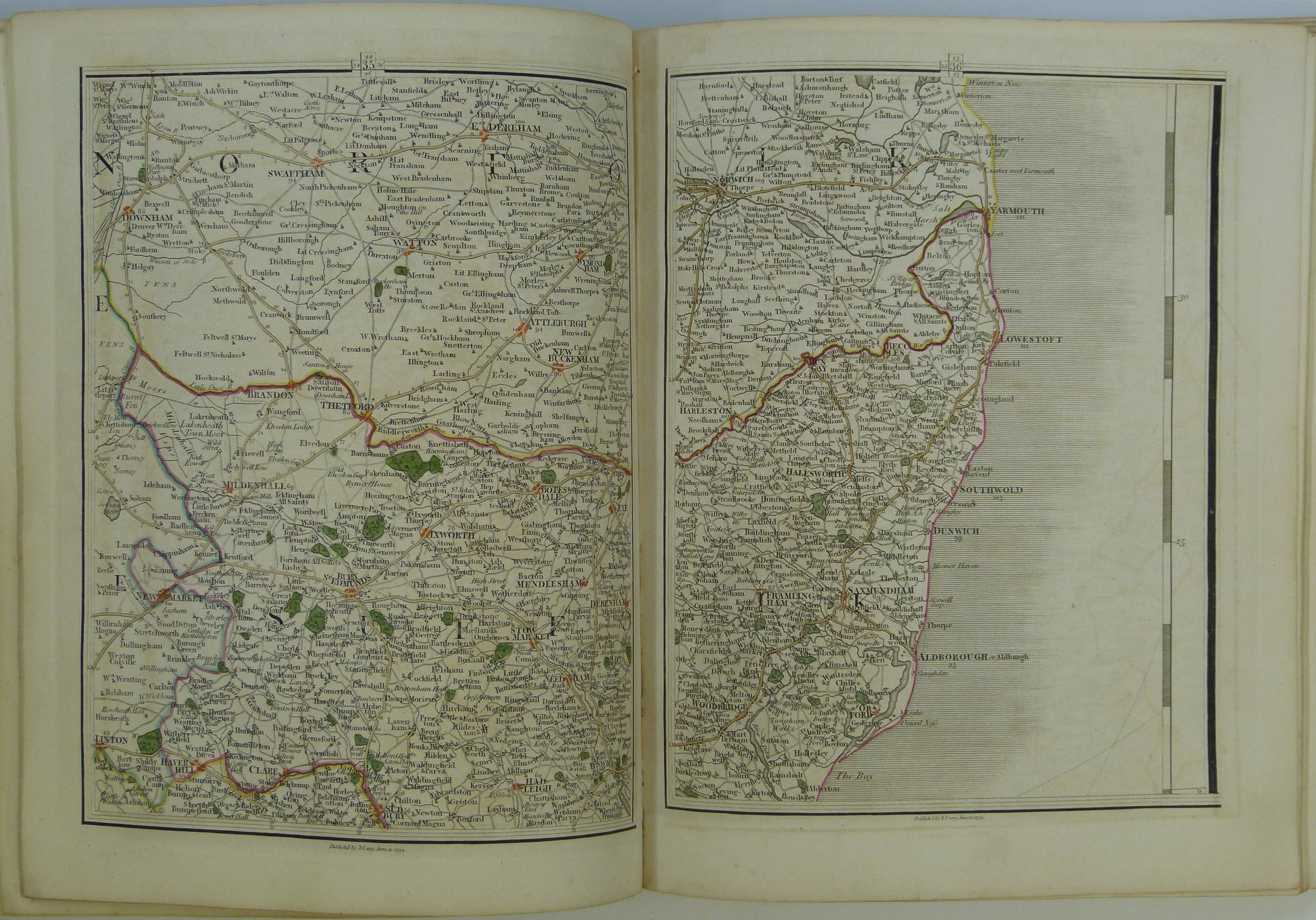
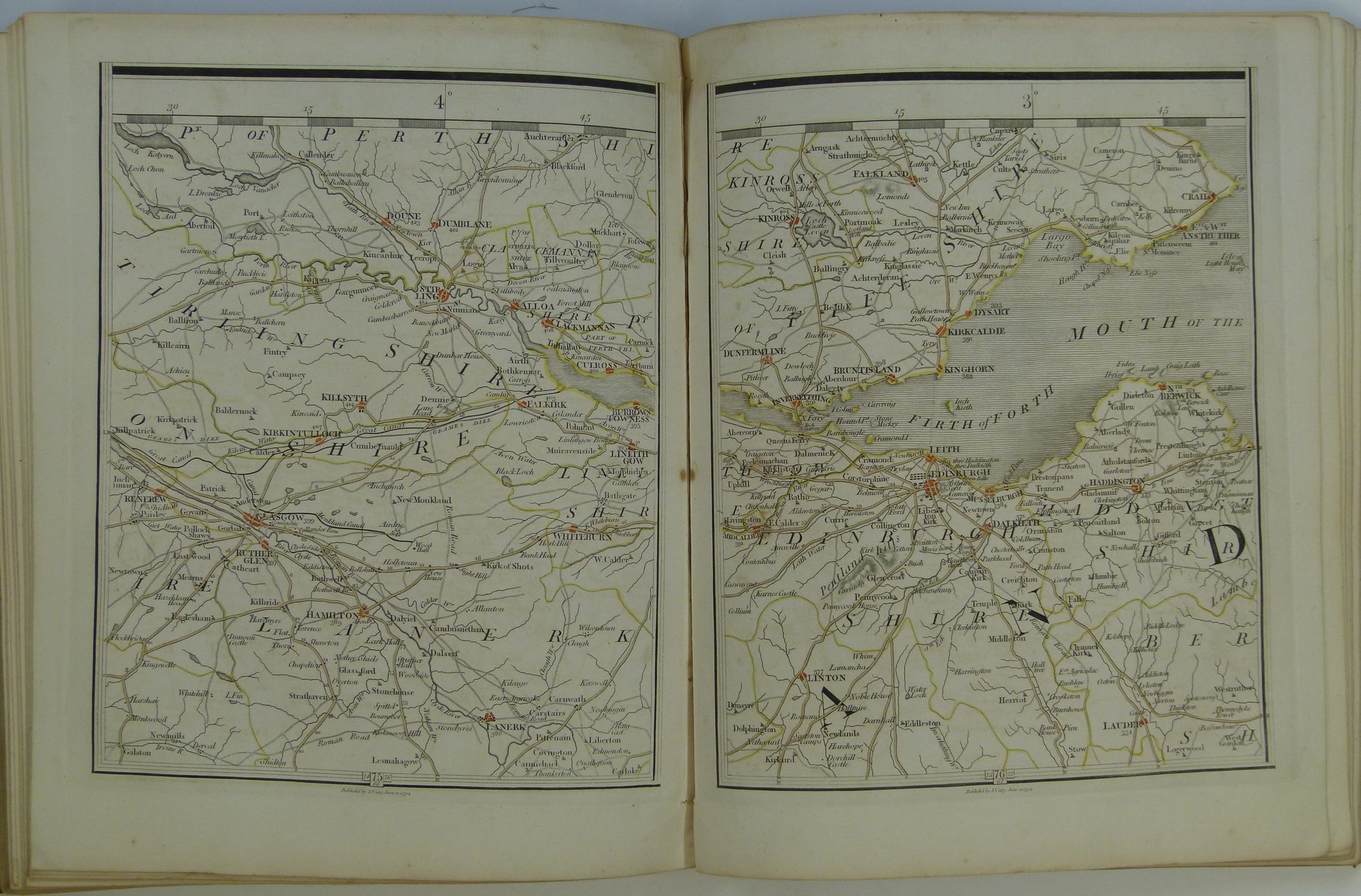
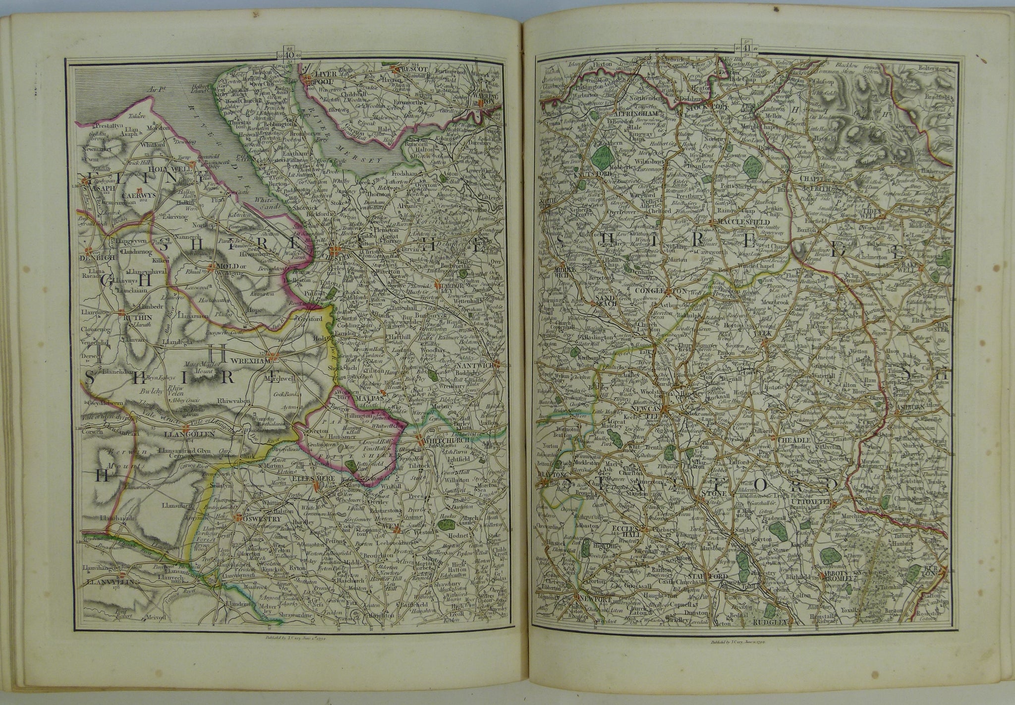
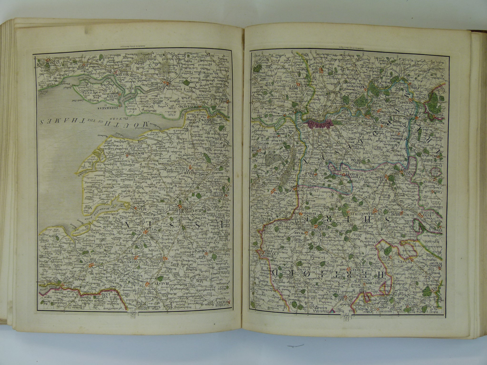
This atlas is first modern atlas; it departed from the convention of county maps, having edge to edge abutting maps at a constant scale (1inch = 5 miles/1:316,800) with each map indicating the page number of adjacent maps.
Cary also produced this map as a large sheet version, which he edited to form the base map of William Smith’s 1815 A Delineation of the Strata of England and Wales with part of Scotland. Without Cary’s production resources, and financial risk-taking, Smith’s map would not have been published.