
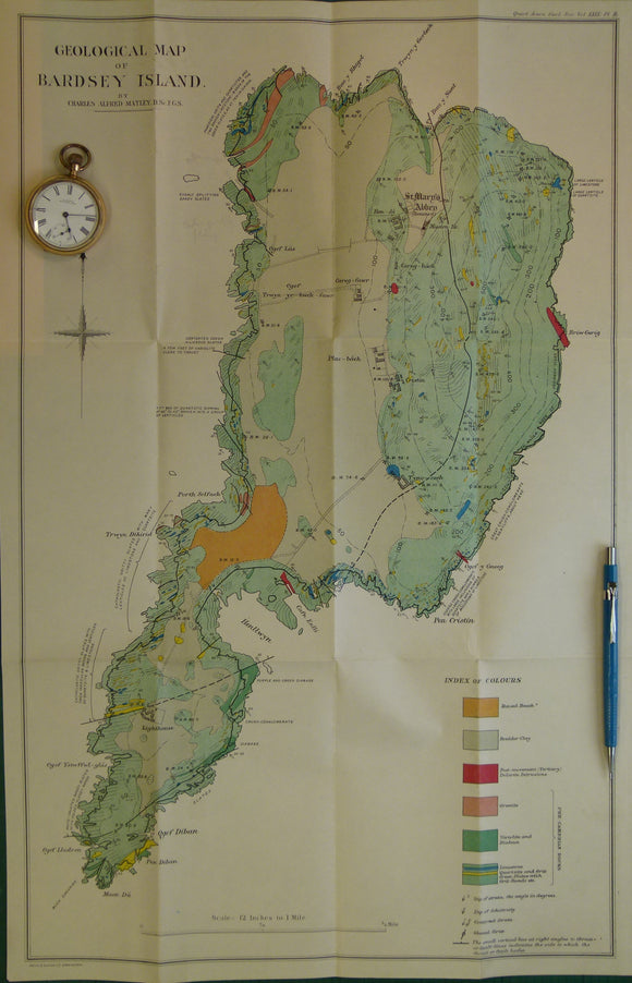
Wales North 1913. Geological Map of Bardsey Island
Wales North 1913. Geological Map of Bardsey Island, colour printed folded map at 1:5,280 (12 ins =1mile) 59.5 x 37.5cm, in ‘The Geology of Bardsey Island’ off print in publishers paper cover from Quarterly Journal of the Geological Society, v.69. 1913. By Charles A Matley with appendix on the petrography by John S Flett. Pp.514-533. Map and text in very good condition.