


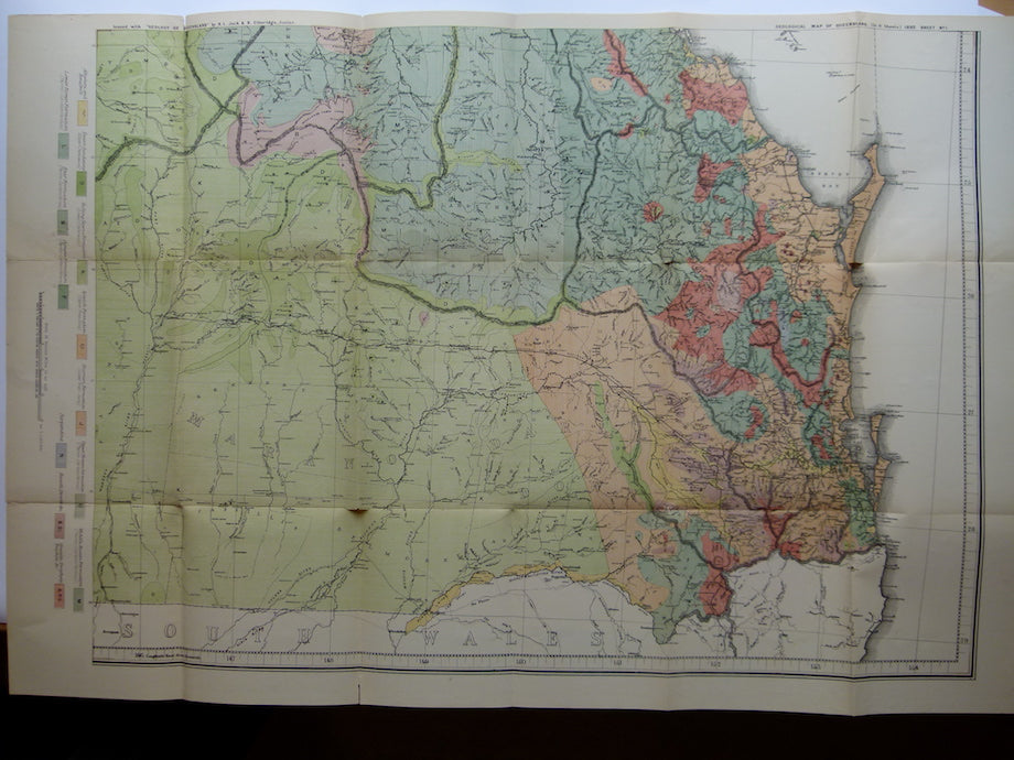
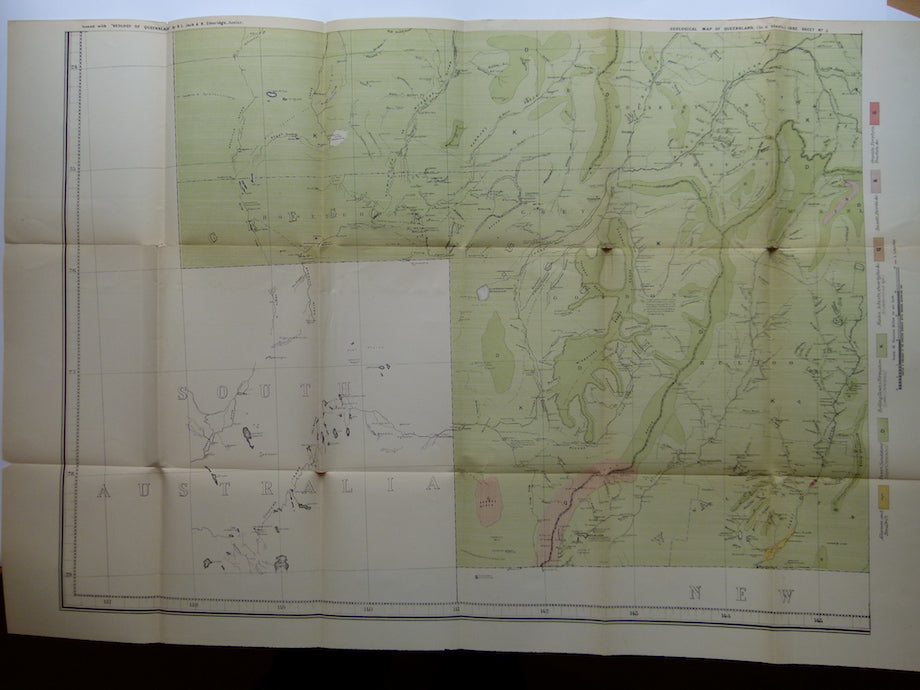

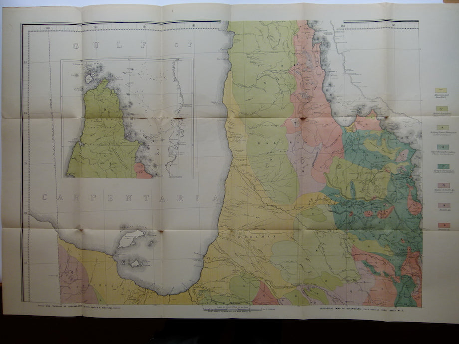

Geological Map of Queensland, 1892
Geological Map of Queensland, 1892. Colour printed map at 1:1,013,760 scale (1 inch to 16 miles). Issued as six sheets, each 67.5 x101cm (26.5 x 39.75 in) folding to 24 x 19cm (9.5 x 7.5 in) with original embossed brown cloth covered sleeve. Map set issued with The geology and palaeontology of Queensland and New Guinea : with sixty-eight plates and a geological map of Queensland by R.L. Jack and R. Etheridge, Junior. Brisbane, Surveyor-General's Office, 1892.
Excellent example of early colour printing. Light weight paper has torn at intersection of folds and along two fold segments of sheet 2; otherwise the map set is in very good condition, clean and bright. The slipcase is intact, with title pasted on the side to be read on shelf, but very worn and faded, in fair condition. Although the full legend is printed on sheet 6 within the map frame to read when the map is assembled, each sheet has the relevant legend printed in the margin that would be trimmed were to be assembled. A simple idea but generally missing in most multi-sheet regional maps. Due to the thin paper and large sheet size few 1892 maps sets survive in good condition outside of institutions.