Free UK postage
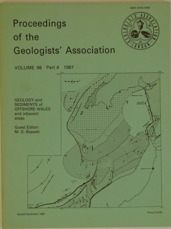
Bassett, MG. (ed), 1987. Geology and Sediments of Offshore Wales and adjacent areas, a special edition. Geologists' Association.
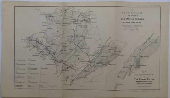
Blake, J.F. (1888). ‘Map of the Distribution of the Rocks of the Monian System and Associated Rocks in the Island of Anglesey’, b/w printed. Geological Society of London.
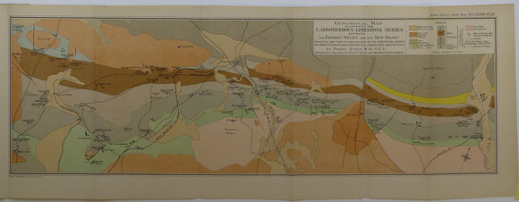
Dixey, Frank, et al. (1917). Two maps – of the Carboniferous Limestone Series between the Ewenny Valley and Ebbw Valley’,. Geological Society of London.
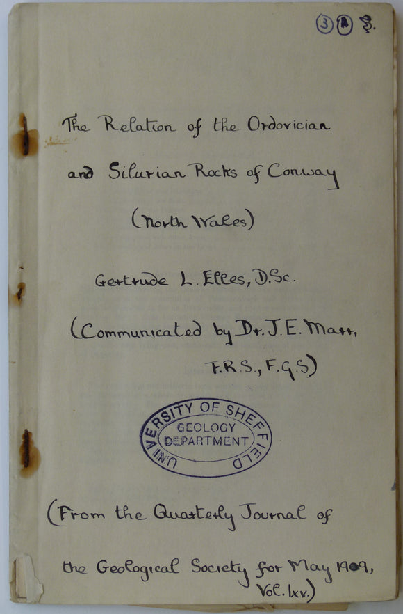
Elles, G.L. (1909). Geological Map of Conway’, fold out b/w printed map, 1:21,120 scale (3”=1 mile),. Geological Society of London.
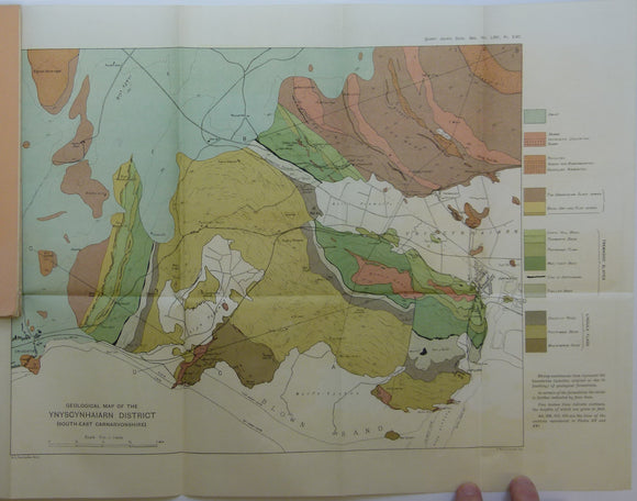
Fearnsides, W.G. (1910). Geological Map of the Ynyscyhaiarn District, South-East Carnarvonshire’, fold out colour printed map. Geological Society of London.
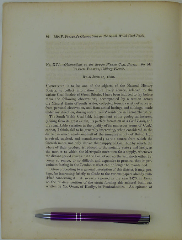
Forster, Francis, (1831). ‘Observations on the South Welsh Coal Basin’, extract from Transactions of the Natural History Society of Northumberland, Durham and Newcastle. v1,. Trans Northum, Durham, Newcastle.
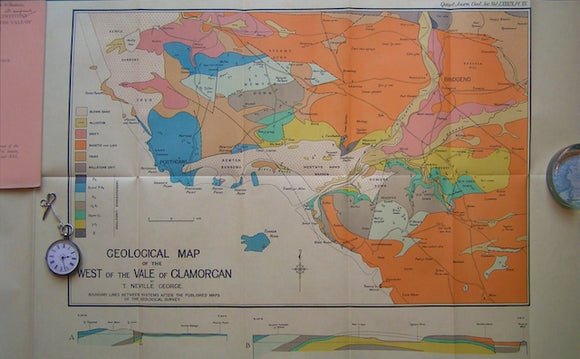
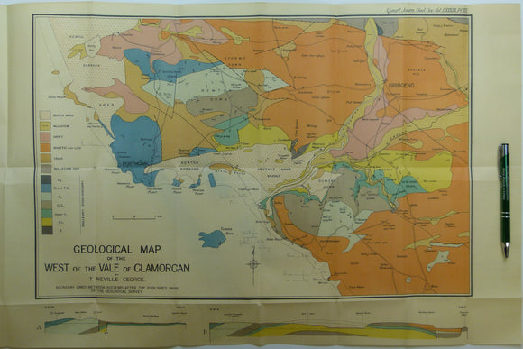
Geological Map of the West of the Vale of Glamorgan,1933. George, Neville QJGS.
George, T. Neville, (1932). ‘The Quaternary Beaches of Gower [S. Wales]’ offprint from the Proceedings of the Geologists Association. v.63,. Geologists' Association.
George, T. Neville, (1933). ‘Geological Map of the West of the Vale of Glamorgan’, fold out colour printed map. Geological Society of London.
Lewis, Colin A. (ed), 1970. The Glaciations of South Wales and Adjoining Regions. Longman et al.
Lewis, Colin A. (ed), 1970. The Glaciations of South Wales and Adjoining Regions. London: Longman, 1st edition. Longman et al.
Mattley, Charles Alfred. (1936). ‘The 50-Ft. Terrace of Southern Lleyn’, fold out b/w geological map, 1:31,3680. Geologists' Association.
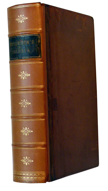
Murchison, R.I. (1859). Siluria. The History of the Oldest Fossiliferous Rocks and their Foundations; with a brief sketch of the Distribution of Gold over the Earth. John Murray.
Murchison, R.I. (1859). Siluria. The History of the Oldest Fossiliferous Rocks and their Foundations; with a brief sketch of the Distribution of Gold over the Earth, 1859. John Murray.
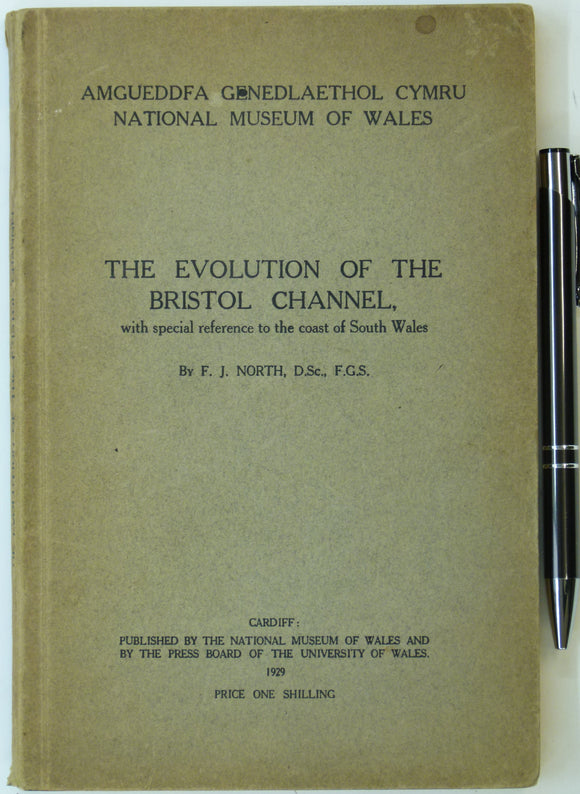
North, F.J, (1929). The Evolution of the Bristol Channel with Special Reference to the Coast of South Wales. Cardiff: University of Wales. University of Wales Press.
North, F.J. (1956). ‘The Geological History of Brecknock [Mid Wales]’ Reprint from Brycheiniog. v.1, National Museum of Wales,. National Museum of Wales.
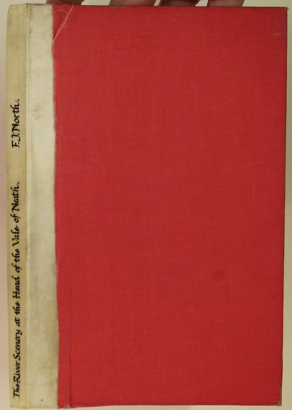
North, FJ. 1962. The River Scenery at the Head of the Vale of Neath. Cardiff: National Museum of Wales,. National Museum of Wales.
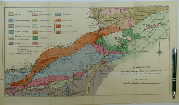
Thomas, Herbert Thomas, et al. (1924). ‘The Volcanic Series of Trefgarn, Roch, and Ambleston, Pembrokeshire’, fold out colour map. Geological Society of London.
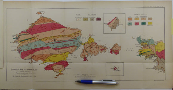
Thomas, Herbert Thomas. (1911). ‘Geological Map of Skomer Island’, fold out colour printed map, 1:10,560. Geological Society of London.
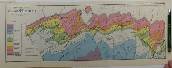
Trotter, Frederick Murray (1947). ‘Structure Map of the Ammanford District’, a fold out colour printed map. Geological Society of London.
Wales South 1944. Geological Map of the Prescelly Hills, North Pembrokeshire, colour. Geological So.


![George, T. Neville, (1932). ‘The Quaternary Beaches of Gower [S. Wales]’ offprint from the Proceedings of the Geologists Association. v.63,](http://geolmaps.com/cdn/shop/products/George-Gower_{width}x.jpg?v=1617721372)
![George, T. Neville, (1932). ‘The Quaternary Beaches of Gower [S. Wales]’ offprint from the Proceedings of the Geologists Association. v.63,](http://geolmaps.com/cdn/shop/products/George-Gower_580x.jpg?v=1617721372)


![North, F.J. (1956). ‘The Geological History of Brecknock [Mid Wales]’ Reprint from Brycheiniog. v.1, National Museum of Wales,](http://geolmaps.com/cdn/shop/products/Brecknock-North_1_{width}x.jpg?v=1617721891)
![North, F.J. (1956). ‘The Geological History of Brecknock [Mid Wales]’ Reprint from Brycheiniog. v.1, National Museum of Wales,](http://geolmaps.com/cdn/shop/products/Brecknock-North_1_580x.jpg?v=1617721891)