Free UK postage
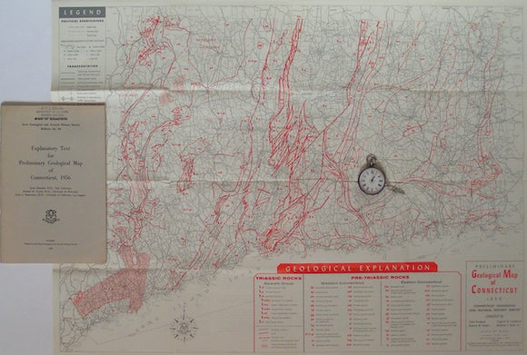
Preliminary Geological Map of Connecticut, 1956. Connecticut.
Preliminary Geological Map of Connecticut, 1956. In Connecticut Geological and Natural History Survey, Bulletin 8. Scale 1:253,440. Folded colour print 20.5"x27.5". Outline boundaries and formation abbreviations in red on grey...
Regular price £1200 £12.00
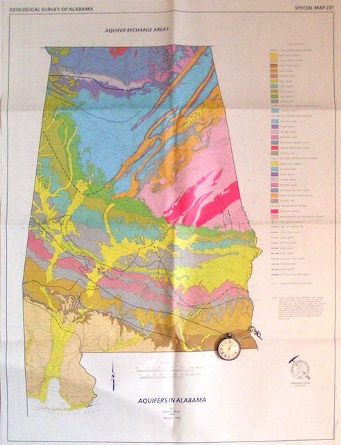
Aquifers in Alabama; Aquifer Recharge Areas, 1998. Alabama.
Aquifers in Alabama; Aquifer Recharge Areas, 1998,revision.by Geologic Survey of Alabama, special paper 231. Scale 1"=13miles. Folded colour print. Clean bright excellent graphic. On reverse, a 1:2,000,000 map relating ground...
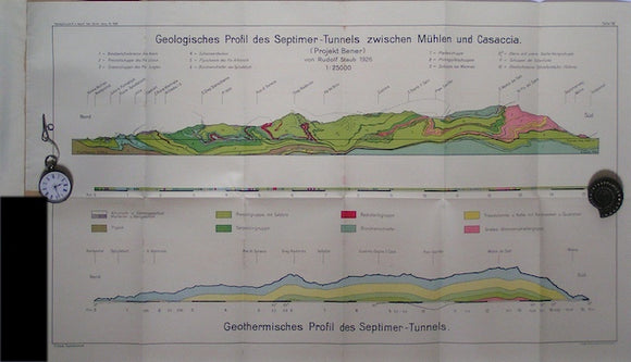
Die geologischen Verhaltnisse eines Septimertunnels, 1928. Staub, R.
Die geologischen Verhaltnisse eines Septimertunnels, 1928, offprint with folded colour printed sections.
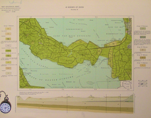
Sheet 49-III, 1:50,000. Bergen-op-Zoom, 1940. Rijks Geologische Dienst.
Sheet 49-III, 1:50,000. Bergen-op-Zoom, 1940. Small fort of Bath.
Sheet 44-IV, 1:50,000. Gertruidenberg, 1937. Rijks Geologische Dienst.
Sheet 44-IV, 1:50,000. Gertruidenberg, 1937. Sprang village.
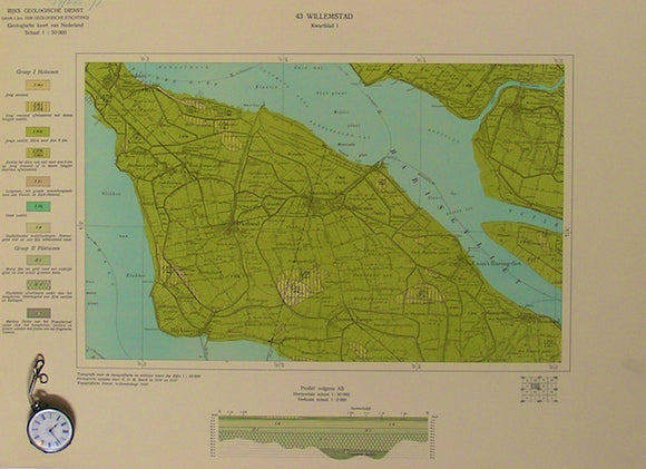
Sheet 43-IV, 1:50,000. Willemstad, 1938. Rijks Geologische Dienst.
Sheet 43-IV, 1:50,000. Willemstad, 1938. The town itself.
Sheet 43-III, 1:50,000. Willemstad, 1940. Rijks Geologische Dienst.
Sheet 43-III, 1:50,000. Willemstad, 1940. Oude Tonge village.
Sheet 43-II, 1:50,000. Willemstad, 1938. Rijks Geologische Dienst.
Sheet 43-II, 1:50,000. Willemstad, 1938. Numansdorp village.
Sheet 43-I, 1:50,000. Willemstad, 1938. Rijks Geologische Dienst.
Sheet 43-I, 1:50,000. Willemstad, 1938. Stellendam village.
Sheet 34-III, 1:50,000. Groenloo, 1931. Rijks Geologische Dienst.
Sheet 34-III, 1:50,000. Groenloo, 1931. Borculoo village.
Sheet 33-III, 1:50,000. Zutphen, 1934. Rijks Geologische Dienst.
Sheet 33-III, 1:50,000. Zutphen, 1934. Otterloosche Zande.
Sheet 32-IV, 1:50,000. Amersfoort, 1929. Rijks Geologische Dienst.
Sheet 32-IV, 1:50,000. Amersfoort, 1929. Lunteren village.
Sheet 32-III, 1:50,000. Amersfoort, 1929. Rijks Geologische Dienst.
Sheet 32-III, 1:50,000. Amersfoort, 1929. De Bildt village.
Sheet 32-II, 1:50,000. Amersfoort, 1929. Rijks Geologische Dienst.
Sheet 32-II, 1:50,000. Amersfoort, 1929. Noordhuizen village.
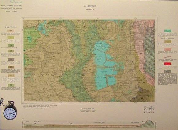
Sheet 31-III, 1:50,000. Utrecht, 1928. Rijks Geologische Dienst.
Sheet 31-III, 1:50,000. Utrecht, 1928. Zammerdam village.
Sheet 31-II, 1:50,000. Utrecht, 1928. Rijks Geologische Dienst.
Sheet 31-II, 1:50,000. Utrecht, 1928. Hilversum town.
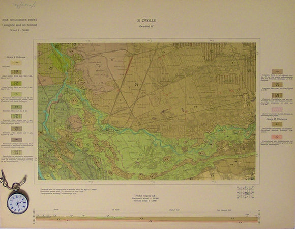
Sheet 21-IV, 1:50,000. Zwolle, 1931. Rijks Geologische Dienst.
Sheet 21-IV, 1:50,000. Zwolle, 1931. The town itself.
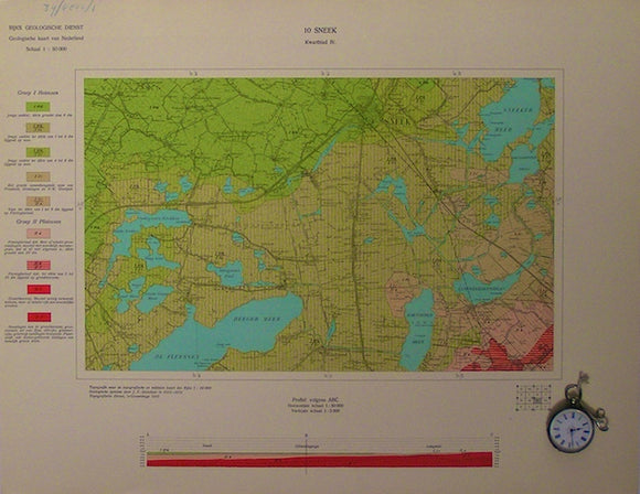
Sheet 10-IV, 1:50,000. Sneek, 1935. Rijks Geologische Dienst.
Sheet 10-IV, 1:50,000. Sneek, 1935. The town itself.
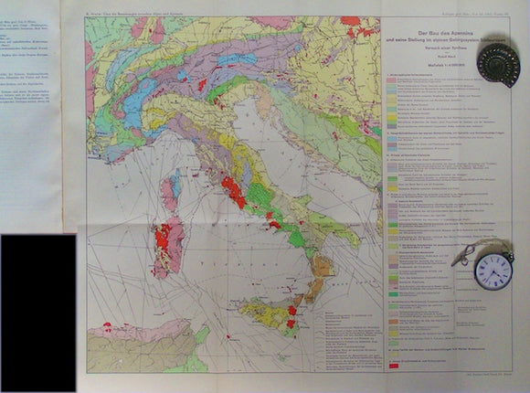
Apennine Mountains - Der Bau des Appenins. Staub, R.
Apennine Mountains - Der Bau des Appenins (The Construction of the Apennines and their place in the Alpine mountain system),1951. Scale 1:4,000,000. Folded 41x47cm attachment to offprint of Uber die...
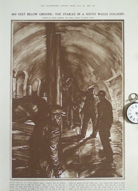
900 feet below ground: The Stables in a South Wales Colliery
900 feet below ground: The Stables in a South Wales Colliery, in the Sept,25, 1920 issue of The Illustrated London News. Dark brown monotone water colour style sketch (12"x8.5"). No...