Free UK postage
Jacquot, A-E., and Michel-Lévy, A. et al. (1889). Carte Géologique de la France. Paris: Baudry et Cie. for Service Géologique Scale 1:1,000,000. Colour heliogravure. Baudry.
Jacquot, A-E., and Michel-Lévy, A. et al. (1889). Carte Géologique de la France. Paris: Baudry et Cie. for Service Géologique pour la carte detaillée de la France. Scale 1:1,000,000. Colour...
Regular price £50000 £500.00
Jacquot and Michel-Lévy (1889). Carte Géologique de la France. Paris: Baudry et Cie. for Service Géologique de la France. First edition. Scale 1:1,000,000. Colour. Geological Survey of France.
Jacquot, A-E., and Michel-Lévy, A. et al. (1889). Carte Géologique de la France. Paris: Baudry et Cie. for Service Géologique pour la carte detaillée de la France. First edition. Scale...
Anon (1945) Spain and Portugal, v. IV, The Atlantic Islands. Geographical Handbook Series B.R. 502c (restricted), Naval Intelligence. HMSO.
Anon (1945) Spain and Portugal, v. IV, The Atlantic Islands. Geographical Handbook Series B.R. 502c (restricted), Naval Intelligence Division, reprint of 1942 1st edition, 371 pp. Hardback, orange cloth-covered boards,...
Regular price £4500 £45.00
Madeira, Ilha da (1974) of Carta Geological de Portugal .Sheets A (west) and B (east). Set of two colour printed, folded maps. Geological Survey of Portugal.
Madeira, Ilha da (1974) of Carta Geological de Portugal .Sheets A (west) and B (east). Set of two colour printed, folded maps, 1:50,000 scale, each 80 x 55cm. minor wear...
Regular price £3000 £30.00
Atlantic. (1851). North Atlantic Ocean Western Part and North Atlantic Ocean Eastern Part. Scale 1:9,200,000*. B/W lithograph 98 x 127 cm dissected and mounted on linen. Hydrographic Office.
Atlantic. (1851). North Atlantic Ocean Western Part and North Atlantic Ocean Eastern Part. Scale 1:9,200,000*. B/W lithograph 98 x 127 cm dissected and mounted on linen folding to 30 x...
Regular price £2500 £25.00
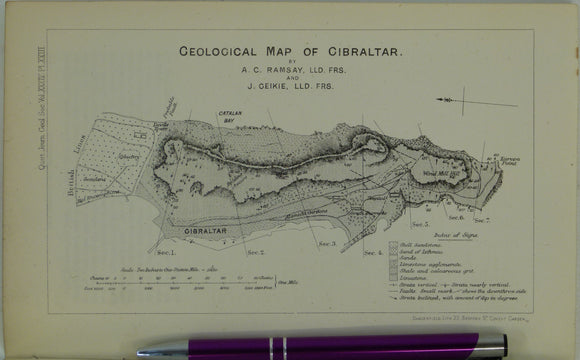
Ramsay, Andrew C., and Geikie, James (1878). Geological Map of Gibraltar, in ‘On the Geology of Gibraltar’, extract from the Quarterly Journal of the Geological Society, v34,. Geological Society of London.
Ramsay, Andrew C., and Geikie, James (1878). Geological Map of Gibraltar, in ‘On the Geology of Gibraltar’, extract from the Quarterly Journal of the Geological Society, v34, pp 505 –...
Regular price £1400 £14.00
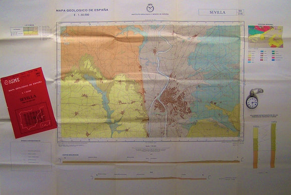
Sevilla – sheet 984, Mapa Geologico de Espana, 1975. IGME.
Sevilla – sheet 984, Mapa Geologico de Espana, 1975. Scale 1:50,000. Folded colour print, 69x81cm (27"x32"), together with explanatory notes, 14pp, in plastic wallet, 21.5x16cm. Library markings on notes, otherwise...
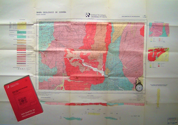
San Martin de Valdeiglesias – sheet 557, Mapa Geologico de Espana, 1972. IGME.
San Martin de Valdeiglesias – sheet 557, Mapa Geologico de Espana, 1972. Scale 1:50,000. 557 lies 40km west of Madrid. Folded colour print, 69x81cm (27"x32"), together with explanatory notes in...
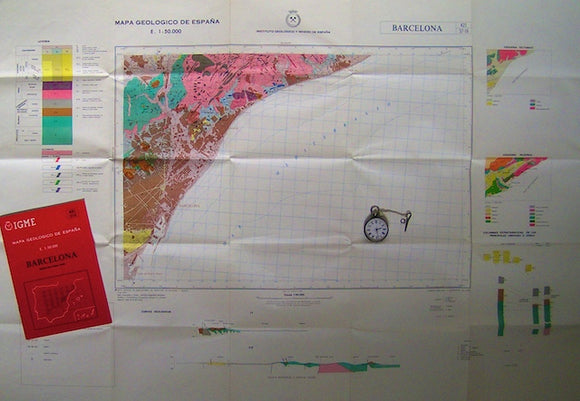
Barcelona – sheet 421, Mapa Geologico de Espana, 1978. IGME.
Barcelona – sheet 421, Mapa Geologico de Espana, 1978. Scale 1:50,000. Folded colour print, 69x81cm (27"x32"), together with explanatory notes, 30pp, in plastic wallet, 21.5x16cm. Library markings on notes, otherwise...
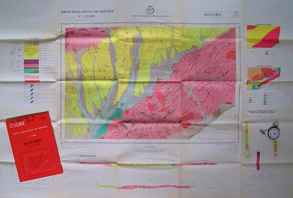
Mataro – sheet 393, Mapa Geologico de Espana, 1975. IGME.
Mataro – sheet 393, Mapa Geologico de Espana, 1975. Scale 1:50,000. 393 is the sheet north of Barcelona. Folded colour print, 69x81cm (27"x32"), together with explanatory notes, 25pp, in plastic...
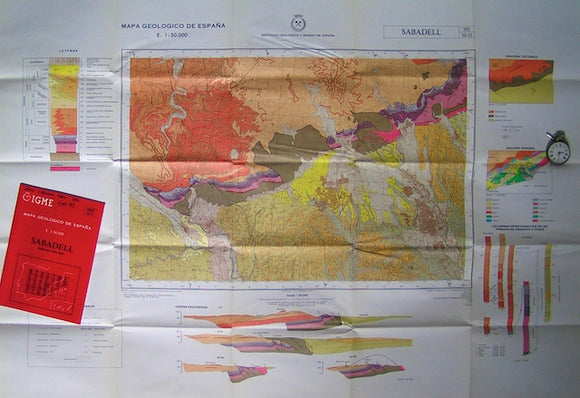
Sabadell – sheet 392, Mapa Geologico de Espana, 1975. IGME.
Sabadell – sheet 392, Mapa Geologico de Espana, 1975. Scale 1:50,000. 393 is the sheet northwest of Barcelona. Folded colour print, 69x81cm (27"x32"), together with explanatory notes, 31pp, in plastic...
Scrope, George Poulett, (1859), ‘On the Mode of Formation of Volcanic Cones and Craters’ extract from the QJGS. Geological Society of London.
Scrope, George Poulett, (1859), ‘On the Mode of Formation of Volcanic Cones and Craters’ extract from the Quarterly Journal of the Geological Society of London, v.15 . pp 505-549. With...
Regular price £1200 £12.00