Free UK postage
Knipe, James A. (1858). Geological Map of Scotland, Hand coloured lithograph,109 x81 cm, dissected and mounted on linen folding to 21.5 x 12cm. Knipe.
Knipe, James A. (1858). Geological Map of Scotland, Lochs, Mountains, Islands, Rivers and Canals, the Railways and Principal Roads and Sites of Minerals. London; Edward Stanford, 1st edition. Scale 1:633,600...
Regular price £2,90000 £2,900.00
Knipe, James A. (1859). Geological Map of the British Isles and Part of France. Hand coloured lithograph in four quarters, each 80 x 69cm, dissected and mounted on linen folding to 20 x 11.5cm. Knipe.
Knipe, James A. (1859). Geological Map of the British Isles and Part of France, Showing also the Inland Navigation by means of, Rivers and Canals, the Railways and Principal Roads...
Regular price £2,40000 £2,400.00
Boué, A. (1820). Essai Géologique sur L’Écosse. Paris: Mme Ve Courcier, 1st edition.
Boué, A. (1820). Essai Géologique sur L’Écosse. Paris: Mme Ve Courcier, 1st edition. x + 519 + 4pp.+ 7 fold-out plates and 2 fold-out maps, of which one hand-coloured. Hardback,...
Regular price £1,05000 £1,050.00
Boué, A. (1820). Essai Géologique sur L’Écosse. Paris: Mme Ve Courcier, 1st edition. Association copy. courcier.
Boué, A. (1820). Essai Géologique sur L’Écosse. Paris: Mme Ve Courcier, 1st edition, x + 519 + 4pp.+ 7 fold-out plates and 2 fold-out maps, of which one hand-coloured. Association...
Regular price £95000 £950.00
Peach, B.N. and Horne, J. et al (1907) The Geological Structure of the North-West Highlands of Scotland. Memoirs of the Geological Survey, Scotland. Glasgow: HMSO. British Geological Survey.
Peach, B.N. and Horne, J. et al (1907) The Geological Structure of the North-West Highlands of Scotland. Memoirs of the Geological Survey, Scotland. Glasgow: HMSO. 1st edition, xviii + 668pp....
Regular price £32500 £325.00
Geikie, Archibald (1876). Geological Map of Scotland. Edinburgh: W.& A.K. Johnston. 1st edition. Scale 1:633,600 colour printed lithograph. W. & A.K. Johnston.
Geikie, Archibald (1876). Geological Map of Scotland. Edinburgh: W.& A.K. Johnston. 1st edition. Scale 1:633,600 (1 inch = 10 miles) colour printed lithograph 90 x 61cm, dissected and mounted on...
Regular price £22500 £225.00
Geikie, A. (1892). Geological Map of Scotland. Edinburgh: John Bartholomew. Colour lithograph, scale 1:633600. Dissected and mounted on linen. John Bartholomew.
Geikie, A. (1892). Geological Map of Scotland. Edinburgh: John Bartholomew. Colour lithograph, scale 1:633600. Dissected and mounted on linen (84 X 72 cm) and folded into blue hard back book...
Regular price £14500 £145.00
Heddle, H. Forster (1879). Mineralogical Chart and Geological Map of the Shetland Islands. Truro: Lake & Lake. Lake & Lake.
Heddle, H. Forster (1879). Mineralogical Chart and Geological Map of the Shetland Islands. Truro: Lake & Lake Steam Lith. for the Mineralogical Society of GB & Ireland. Scale 1:150,000 approx....
Regular price £12500 £125.00
Heddle, H. Forster (1881). Geological and Mineralogical Map of Sutherland. [Edinburgh:] W. & A.K. Johnston. W. & A.K. Johnston.
Heddle, H. Forster (1881). Geological and Mineralogical Map of Sutherland. [Edinburgh:] W. & A.K. Johnston for the Mineralogical Society of GB & Ireland. Scale 1:126,720. Hand-coloured lithograph 84 x 101cm,...
Nicol, James (1844). Guide to the Geology of Scotland. Edinburgh: Oliver and Boyd. 1st edition,. Oliver and Boyd.
Nicol, James (1844). Guide to the Geology of Scotland; containing an Account of the Character, Distribution, and More Interesting Appearances of its Rocks and Minerals. Edinburgh: Oliver and Boyd. 1st...
Regular price £11500 £115.00
Geikie, A. (1897). The Ancient Volcanoes of Great Britain, London: MacMillan, 2 vols. V.1, xiv + 477 pp. V2. xv + 492pp. Hardback. MacMillan.
Geikie, A. (1897). The Ancient Volcanoes of Great Britain, London: MacMillan, 2 vols. V.1, xiv + 477 pp. V2. xv + 492pp. Hardback, green cloth-covered boards with gilt lettering to...
Regular price £11000 £110.00
Macculloch, John (1819). ‘[Geological Map of the Islands of] Mull, Iona, Staffa’, extract from A Description of the Western Islands of Scotland. Constable and Co.
Macculloch, John (1819). ‘[Geological Map of the Islands of] Mull, Iona, Ulva, Gometra, Inch Kenneth, the Treshnish Isles, Staffa, Colonsa, Eorsa’, extract from A Description of the Western Islands of...
Regular price £9500 £95.00
Sheet memoir 7, 13, 24, 32, 33 and 34. (1861-1869). Sammelband volume of six early memoirs of the Geological Survey of Scotland. all 1st. British Geological Survey.
Sheet memoir 7, 13, 24, 32, 33 and 34. (1861-1869). Sammelband volume of six early memoirs of the Geological Survey of Scotland. all 1st editions Hardback. Half-bound in light brown...
Regular price £8500 £85.00
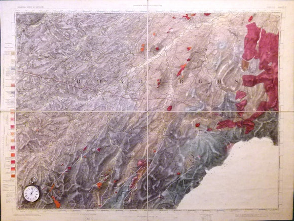
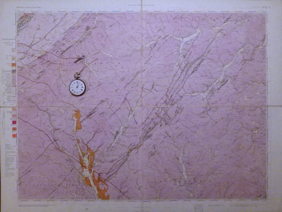
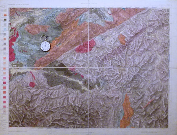
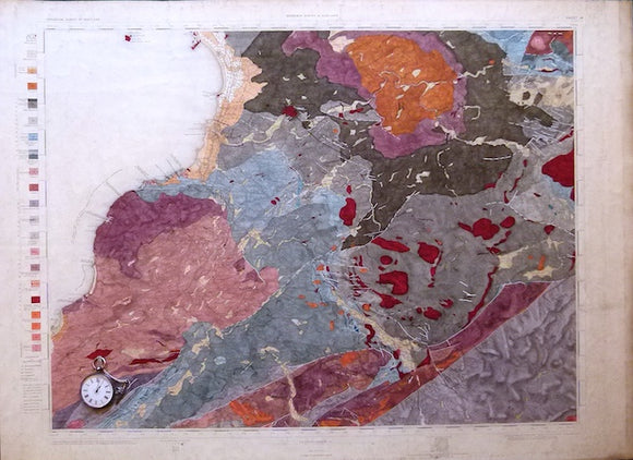
Sheet 17, 1". Jedburgh, (titled), 1883, 1st edition. Geological Survey of Scotland.
Sheet 17, 1". Jedburgh, (titled), 1883, 1st edition. 20.25in x27 in cut in four panels, mounted on linen and folded to 10inx13.5in between blue card covers. 15% blank as England,...
Regular price £8400 £84.00
Sheet 16, 1". Moffat (titled), 1889, 1st edition, issued 1892. Geological Survey of Scotland.
Sheet 16, 1". Moffat (titled), 1889, 1st edition, issued 1892. 20.25"x27" cut in four panels, mounted on linen and folded to 10"x13.5 between blue card covers. Topography expressed by contouring....
Sheet 15, 1". Sanquhar (titled), 1870, 1st edition. Geological Survey of Scotland.
Sheet 15, 1". Sanquhar (titled), 1870, 1st edition. 20.25" x27 " cut in four panels, mounted on linen and folded to 10"x13.5 between blue card covers. Topography expressed by hachuring....
Sheet 14, 1". Ayr (titled), 1868, 1st edition. Geological Survey of Scotland.
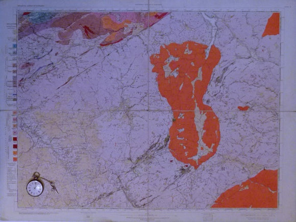
Sheet 14, 1". Ayr (titled), 1868, 1st edition. 21"x28.75" flat linen-backed cartridge paper. Slightly soiled but bright. Topography expressed by hachuring. Sorn in NE corner, Kirkoswald in SW corner. In...
Sheet 8, 1". Barr, 1893, 1st edition, issued 1894. Geological Survey of Scotland.
Sheet 8, 1". Barr, 1893, 1st edition, issued 1894. 20.25"x27" cut in four panels, mounted on linen and folded to 10"x13.5 between blue card covers. Few settlements, Barr is...
Lanarkshire, 6 (1870) 1:10,560 scale. OS basemap 1858, contoured 1863. Covers Glasgow city area. Geological Survey of Scotland. Flat hand-coloured engraving. British Geological Survey.
Lanarkshire, 6 (1870) 1:10,560 scale. OS basemap 1858, contoured 1863. Covers Glasgow city area. Geological Survey of Scotland. Flat hand-coloured engraving, 69 x 98.5 cm. Clear plate impression, clean, colours...
Regular price £7500 £75.00
Geikie, Archibald (1910). Geological Map of Scotland. Edinburgh: John Bartholomew. ‘New’ edition. Scale 1:633,600 (1 inch = 10 miles) colour printed lithograph, with Explanatory Notes. John Bartholomew.
Geikie, Archibald (1910). Geological Map of Scotland. Edinburgh: John Bartholomew. ‘New’ edition. Scale 1:633,600 (1 inch = 10 miles) colour printed lithograph 80 x 69.5cm, dissected and mounted on linen...


![Heddle, H. Forster (1881). Geological and Mineralogical Map of Sutherland. [Edinburgh:] W. & A.K. Johnston](http://geolmaps.com/cdn/shop/files/HeddleSutherland_2_{width}x.jpg?v=1786290338)
![Heddle, H. Forster (1881). Geological and Mineralogical Map of Sutherland. [Edinburgh:] W. & A.K. Johnston](http://geolmaps.com/cdn/shop/files/HeddleSutherland_2_580x.jpg?v=1786290338)


![Macculloch, John (1819). ‘[Geological Map of the Islands of] Mull, Iona, Staffa’, extract from A Description of the Western Islands of Scotland](http://geolmaps.com/cdn/shop/products/MullIonaetal1_{width}x.jpg?v=1652358353)
![Macculloch, John (1819). ‘[Geological Map of the Islands of] Mull, Iona, Staffa’, extract from A Description of the Western Islands of Scotland](http://geolmaps.com/cdn/shop/products/MullIonaetal1_580x.jpg?v=1652358353)