Free UK postage
Macculloch, John (1819). ‘[Geological Map] Kerrera, Seil, Lunga, Scarba, Garveloch’, extract from A Description of the Western Islands of Scotland. Constable and Co.
Macculloch, John (1819). ‘[Geological Map of the Islands of] Inish Capel, Kerrera, Seil, Luing, Torsa, Suuna, Lunga, Scarba, Garveloch’, extract from A Description of the Western Islands of Scotland, v.3....
Regular price £7500 £75.00
Macculloch, John (1819). ‘Geological Map] Rum, Egg, Muck’, extract from A Description of the Western Islands of Scotland,. Constable and Co.
Macculloch, John (1819). ‘[Geological Map of the Islands of] Rum, Egg, Muck’, extract from A Description of the Western Islands of Scotland, v.3. Hand-coloured engraved map, approx. scale 1:114,000, 21.5...
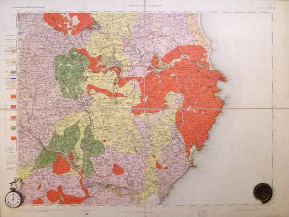
Sheet 87, 1". Peterhead, (titled), 1885, 1st edition, issued 1893. Geological Survey of Scotland.
Sheet 87, 1". Peterhead, (titled), 1885, 1st edition, issued 1893. 20.25"x27" cut in four panels, mounted on linen and folded to 10"x13.5 between blue card covers. Topography expressed by contouring....
Regular price £7400 £74.00
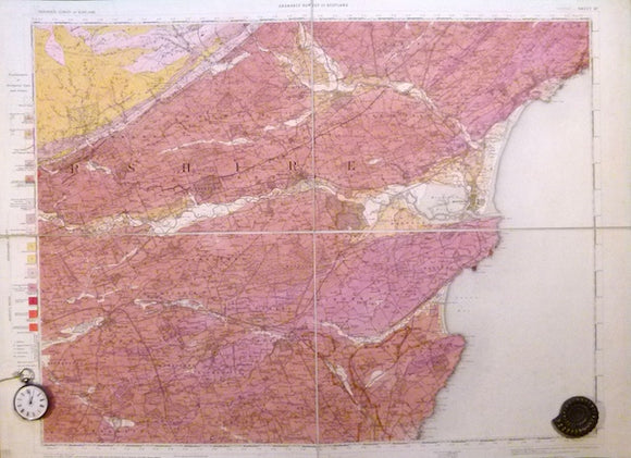
Sheet 57, 1". Forfar, (titled), 1897, 1st edition. Geological Survey of Scotland.
Sheet 57, 1". Forfar, (titled), 1897, 1st edition. 20.25"x27" cut in four panels, mounted on linen and folded to 10"x13.5 between blue card covers. Topography expressed by contouring. 25% blank...
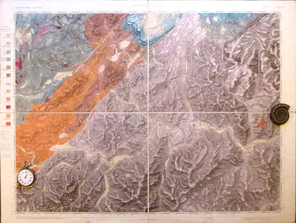
Sheet 24, 1". Peebles, (titled), 1868, 1st edition. Geological Survey of Scotland.
Sheet 24, 1". Peebles, (titled), 1868, 1st edition. 20.25"x27" cut in four panels, mounted on linen and folded to 10"x13.5 between blue card covers. Topography expressed by hachuring. Base margin...
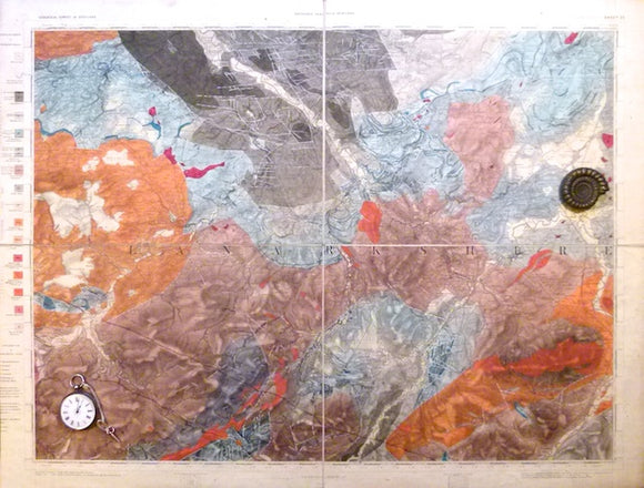
Sheet 23, 1". Hamilton, (titled), 1872, 1st edition. Geological Survey of Scotland.
Sheet 23, 1". Hamilton, (titled), 1872, 1st edition. 20.25"x27" cut in four panels, mounted on linen and folded to 10"x13.5 between blue card covers. Topography expressed by hachuring. Base margin...
Sheet 16, 1". Moffat (titled), 1889, 1st edition. Geological Survey of Scotland.
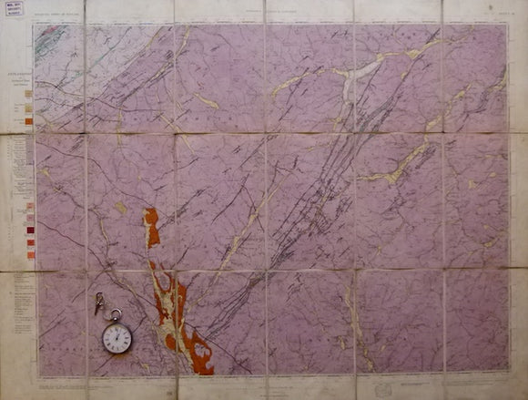
Sheet 16, 1". Moffat (titled), 1889, 1st edition. 21.25"x28.75" flat linen-backed cartridge paper . Topography expressed by contouring. Slightly soiled but bright and in good to very good condition.
Ayrshire, 33 (1868)1:10,560 scale OS basemap 1860. Covers Ayr. Colour washed engraving, (69.5 x 102 cm). British Geological Survey.
Ayrshire, 33 (1868)1:10,560 scale OS basemap 1860. Covers Ayr. Colour washed engraving, (69.5 x 102 cm). Flat, pencilled library notation in bottom right corner, otherwise clean and bright. 20% blank...
Regular price £6500 £65.00
Ayrshire, 8 (1872)1:10,560 scale OS basemap 1858. Kilbirnie Loch is located at the west edge, together with Ayshire 9, (69 x 102.5) covering part of Dunlop district. British Geological Survey.
Ayrshire, 8 (1872)1:10,560 scale OS basemap 1858. Kilbirnie Loch is located at the west edge. 15% blank as adjacent county. Colour washed engraving, (68 x 101.5cm). Flat, minor marginal tears...
Regular price £6000 £60.00
Edinburghshire, 7. (1861)1:10,560 scale OS basemap 1854. Covers Dalkeith, together with Edinburghshire 8, adjacent to east. British Geological Survey.
Edinburghshire, 7. (1861)1:10,560 scale OS basemap 1854. Covers Dalkeith and Inveresk. Colour washed engraving, (69 x 102cm). Flat, minor marginal tears, pencilled library notation in bottom right corner, otherwise clean....
Sutherland, D.S. (ed) (1982). Igneous Rocks of the British Isles. London: Wiley, 1st edition. xv + 645pp. Hardback,. John Wiley.
Sutherland, D.S. (ed) (1982). Igneous Rocks of the British Isles. London: Wiley, 1st edition. xv + 645pp. Hardback, Black cloth-covered boards with gilt lettering to spine, no shelf wear. Dust...
Regular price £5500 £55.00
Fife and Kinross, 36 and 37(1868)1:10,560 scale OS basemap 1856. Cover Burntisland, Auchtertool, Kirkcaldy and Kinghorn . Colour washed engravings. British Geological Survey.
Fife and Kinross, 36 (1868)1:10,560 scale OS basemap 1856. Covers Burntisland in southeast corner and Auchtertool in north centre. Colour washed engraving, (68 x 100.5 cm). Flat, pencilled library notation...
Fife and Kinross, 32 and 33 (1862)1:10,560 scale OS basemap 1856. Cover Dysart and Buckhaven. Colour washed engraving,. British Geological Survey.
Fife and Kinross, 32 (1862)1:10,560 scale OS basemap 1856. Covers Dysart. Colour washed engraving, (70 x 101 cm). Flat, pencilled library notation in bottom right corner, otherwise clean and bright....
Dumfriesshire 5 and 6 (1870). 1:10,560 scale OS basemap 1860. Cover Sanquhar and Kirkconnel. Colour washed engravings. British Geological Survey.
Dumfriesshire 6 (1870). 1:10,560 scale OS basemap 1860. Covers Sanquhar in central south half. Colour washed engraving, (69 x 102 cm). Flat, pencilled library notation in bottom right corner, otherwise...
Ayrshire, 30 (1869)1:10,560 scale OS basemap 1860. Covers Airds Moss and Burnfoot Moor, together with Ayrshire 31, covers Muirbank. Colour washed engravings,. British Geological Survey.
Ayrshire, 30 (1869)1:10,560 scale OS basemap 1860. Covers Airds Moss and Burnfoot Moor, no place names. Colour washed engraving, (70 x 101.5cm). Flat, pencilled library notation in bottom right corner,...
Ayrshire, 27 (1868)1:10,560 scale OS basemap 1860. Covers Prestwick at south edge. 30% blank as sea. Colour washed engraving,. British Geological Survey.
Ayrshire, 27 (1868)1:10,560 scale OS basemap 1860. Covers Prestwick at south edge. 30% blank as sea. Colour washed engraving, (67 x 99.5cm). Flat, pencilled library notation in bottom right corner,...
Ayrshire, 22 (1871)1:10,560 scale OS basemap 1860. Covers Troon in southwest corner. Colour washed engraving,. British Geological Survey.
Ayrshire, 22 (1871)1:10,560 scale OS basemap 1860. Covers Troon in southwest corner. Colour washed engraving, (68 x 100.5cm). Flat, slightly age-toned, pencilled library notation in bottom right corner, otherwise clean...
Ayrshire, 17 (1871)1:10,560 scale OS basemap 1860. Covers Irvine on west edge. Colour washed engraving,. British Geological Survey.
Ayrshire, 17 (1871)1:10,560 scale OS basemap 1860. Covers Irvine on west edge. Colour washed engraving, (67.5 x 102cm). Flat, pencilled library notation in bottom right corner, otherwise clean and bright....
Ayrshire, 16 (1869)1:10,560 scale OS basemap 1860. Covers Ardrossan, Saltcoats and mouth of the River Irvine. Colour washed engraving,. British Geological Survey.
Ayrshire, 16 (1869)1:10,560 scale OS basemap 1860. Covers Ardrossan, Saltcoats and mouth of the River Irvine. 45% blank as sea. Colour washed engraving, (68.5 x 102cm). Flat, pencilled library notation...
Edinburghshire, 6. (1864)1:10,560 scale OS basemap 1855. Covers south of Edinburgh, including Slateford and Gilmerston. Colour washed engraving. British Geological Survey.
Edinburghshire, 6. (1864)1:10,560 scale OS basemap 1855. Covers south of Edinburgh, including Slateford and Gilmerston. Colour washed engraving, (69 x 102cm). Flat, minor marginal tears, pencilled library notation in bottom...
![Macculloch, John (1819). ‘[Geological Map] Kerrera, Seil, Lunga, Scarba, Garveloch’, extract from A Description of the Western Islands of Scotland](http://geolmaps.com/cdn/shop/products/Kerrera3_{width}x.jpg?v=1652358764)
![Macculloch, John (1819). ‘[Geological Map] Kerrera, Seil, Lunga, Scarba, Garveloch’, extract from A Description of the Western Islands of Scotland](http://geolmaps.com/cdn/shop/products/Kerrera3_580x.jpg?v=1652358764)
![Macculloch, John (1819). ‘Geological Map] Rum, Egg, Muck’, extract from A Description of the Western Islands of Scotland,](http://geolmaps.com/cdn/shop/products/RumEggMuck_1_{width}x.jpg?v=1652358140)
![Macculloch, John (1819). ‘Geological Map] Rum, Egg, Muck’, extract from A Description of the Western Islands of Scotland,](http://geolmaps.com/cdn/shop/products/RumEggMuck_1_580x.jpg?v=1652358140)