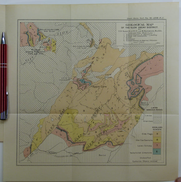
Shop By
- All British Isles - Scotland
- British islands
- engineering geology
- England regional
- field guide
- Fossils
- geomorphology
- journal extract
- journal offprint
- Non-survey
- Oceans
- One inch survey
- Petrology
- popular geology
- Post 1900
- Pre 1900
- Precambrian
- quaternary
- reference
- Reproduction
- Scotland
- Scotland regional
- Scotland Survey Memoirs
- Six inch first edition
- Text book
- volcano


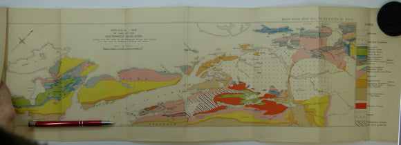

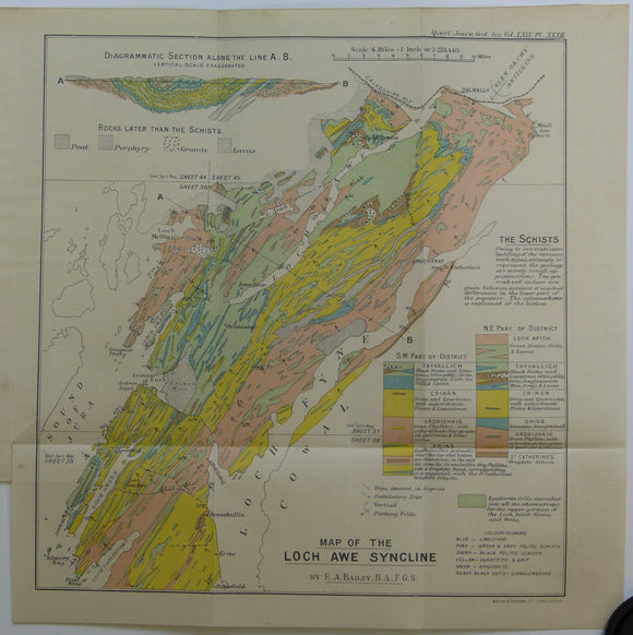

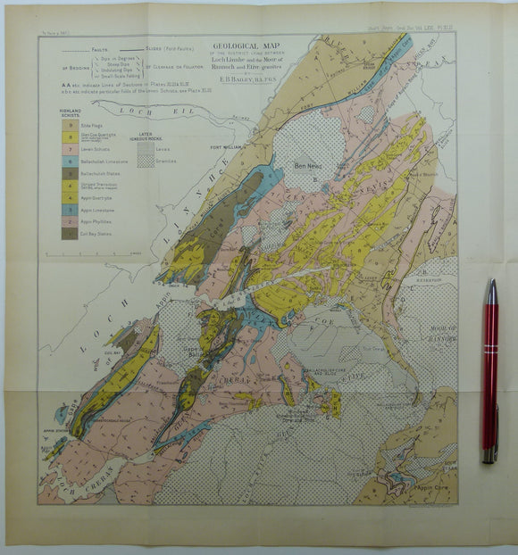

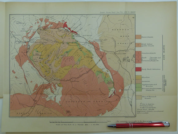


![Elles, Gertrude L., (1926). ‘[Map of the] Structure of the Ben Lawers Nappe as seen on Ben Lawers and Meall Corranaich’, fold-out colour printed](http://geolmaps.com/cdn/shop/products/ScotExtr_52_{width}x.jpg?v=1652193357)
![Elles, Gertrude L., (1926). ‘[Map of the] Structure of the Ben Lawers Nappe as seen on Ben Lawers and Meall Corranaich’, fold-out colour printed](http://geolmaps.com/cdn/shop/products/ScotExtr_52_580x.jpg?v=1652193357)