Free UK postage
Warwickshire 22 nw. Allesley. Surveyed 1913, issued 1922. Geological Survey of England & Wales.
Warwickshire 22 nw. Allesley. Surveyed 1913, issued 1922. Outline geology in blue on grey basemap with red contours. All margins trimmed but without loss of marginalia. In very good condition.
Regular price £1000 £10.00
Warwickshire 17 sw. Hawkesbury. Surveyed 1914, issued 1922. Geological Survey of England & Wales.
Warwickshire 17 sw. Hawkesbury. Surveyed 1914, issued 1922. Outline geology in blue on black basemap with red contours. All margins trimmed but without loss of marginalia. In very good condition.
Warwickshire 17 nw. Bedworth. Surveyed 1913, issued 1922. Geological Survey of England & Wales.
Warwickshire 17 nw. Bedworth. Surveyed 1913, issued 1922. Outline geology in blue on black basemap with red contours. All margins trimmed but without loss of marginalia. In very good condition.
Jukes-browne, AJ. 1878. The Post-Tertiary Deposits of Cambridgeshire. Deighton, Bell and Co..
Jukes-browne, AJ. 1878. The Post-Tertiary Deposits of Cambridgeshire. Cambridge: Deighton, Bell and Co. Paperback 22 x 14 cm. Text clean some page corners turned down and occasional pencil notes. Cover age-tone and...
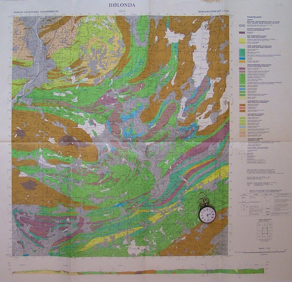
Holonda. NGU.
Holonda, sheet 1521-ii, 1977. Scale 1:50,000. Folded colour print, 66x82cm, of solid geology, located near border of Sweden midway in Norway. English/Norwegian legend. Small dirt mark on upper edge, otherwise...
Sheet 46-I, 1:50,000. Vierlingsbeek, 1935. Rijks Geologische Dienst.
Sheet 46-I, 1:50,000. Vierlingsbeek, 1935. Mook village, 20% uncoloured Germany.
Sheet 41-I, 1:50,000. Aalten, 1931. Rijks Geologische Dienst.
Sheet 41-I, 1:50,000. Aalten, 1931. The village itself.
Sheet 31-I, 1:50,000. Utrecht, 1928. Rijks Geologische Dienst.
Sheet 31-I, 1:50,000. Utrecht, 1928. Uithoorn village.
Sheet 28-IV, 1:50,000. Almelo, 1930. Rijks Geologische Dienst.
Sheet 28-IV, 1:50,000. Almelo, 1930. Hengelo and the town itself.
Sheet 28-III, 1:50,000. Almelo, 1931. Rijks Geologische Dienst.
Sheet 28-III, 1:50,000. Almelo, 1931. Rijssen village.
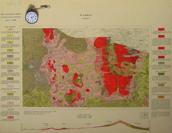
Sheet 28-II, 1:50,000. Almelo, 1930. Rijks Geologische Dienst.
Sheet 28-II, 1:50,000. Almelo, 1930. Ootmarsum village. 15%uncoloured Germany.
Sheet 28-I, 1:50,000. Almelo, 1930. Rijks Geologische Dienst.
Sheet 28-I, 1:50,000. Almelo, 1930. Den Ham village.
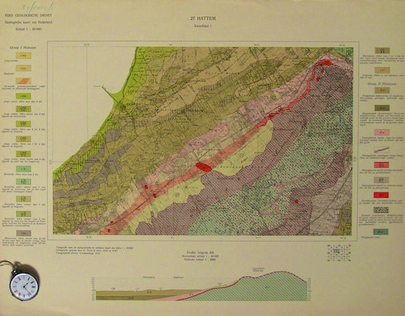
Sheet 27-IV, 1:50,000. Hattem, 1932. Rijks Geologische Dienst.
Sheet 27-IV, 1:50,000. Hattem, 1932. Diepenveen village.
Sheet 27-III, 1:50,000. Hattem, 1932. Rijks Geologische Dienst.
Sheet 27-III, 1:50,000. Hattem, 1932. Oene village.
Sheet 27-II, 1:50,000. Hattem, 1932. Rijks Geologische Dienst.
Sheet 27-II, 1:50,000. Hattem, 1932. Heino village.
Sheet 27-I, 1:50,000. Hattem, 1932. Rijks Geologische Dienst.
Sheet 27-I, 1:50,000. Hattem, 1932. 15% sea, Elburg village.
Sheet 22-III, 1:50,000. Koevorden, 1933. Rijks Geologische Dienst.
Sheet 22-III, 1:50,000. Koevorden, 1933. Hardenberg village.
Sheet 22-I, 1:50,000. Koevorden, 1934. Rijks Geologische Dienst.
Sheet 22-I, 1:50,000. Koevorden, 1934. Slagharen village.
Sheet 21-III, 1:50,000. Zwolle, 1931. Rijks Geologische Dienst.
Sheet 21-III, 1:50,000. Zwolle, 1931. Towns of Ijselmuiden and Kampen. 25% sea.
Sheet 21-II, 1:50,000. Zwolle, 1931. Rijks Geologische Dienst.
Sheet 21-II, 1:50,000. Zwolle, 1931. De Wijk village.