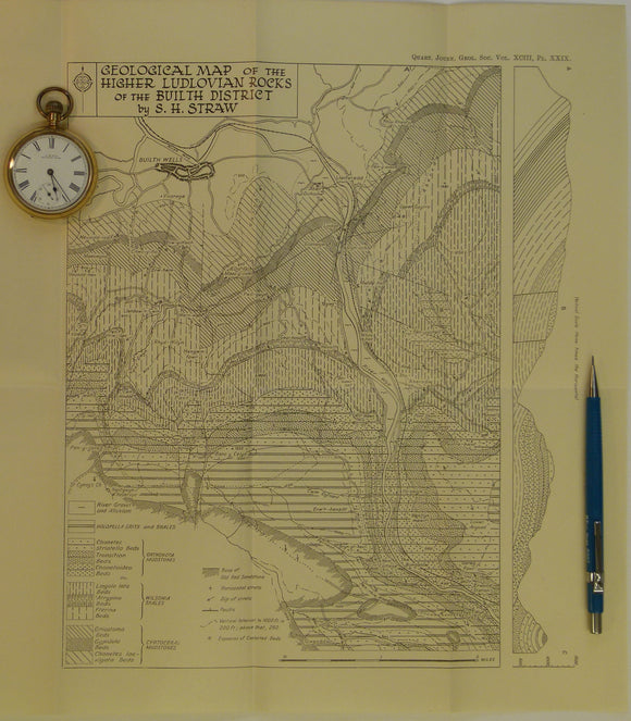
Wales Mid- 1947. Geological Map of the Higher Ludlovian rocks of the Builth District, b&w. Geological Society of London.
Wales Mid- 1947. Geological Map of the Higher Ludlovian rocks of the Builth District, b&w printed folded map at 1:15,840 (4 ins =1mile) 34 x 30cm, in ‘The Higher Ludlovian...