
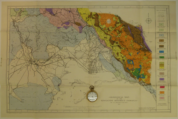


Matley, Charles A (1945). Geological Map of the Kingston District, Jamaica. Colour printed map (50 x 76 cm) at 1:63,360
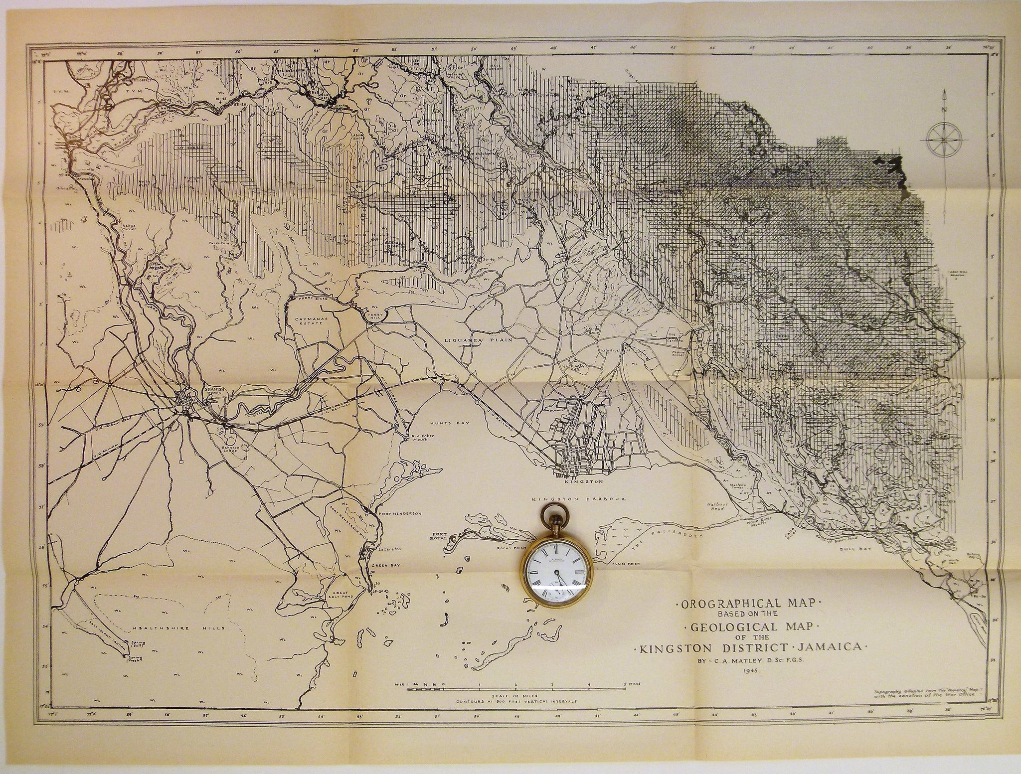
Matley, Charles A (1945). Geological Map of the Kingston District, Jamaica. Colour printed map (50 x 76 cm) at 1:63,360 (1”=1 mile) and Orographical Map based on the Geological Map of the Kingston District, Jamaica, b&w print of same scale and dimensions, both folded in rear pocket of Geology and Physiography of the Kingston District, Jamaica. Paperback, London: Crown Agents for the Colonies for Institute of Jamaica, 1951. 141pp. Maps are clean and appear unused in fine condition. Cover has slight shelf wear and slightly grubby. Text clean with library stamps to title page. Overall in good to very good condition.