
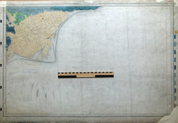
Sheet 4, Old Series 1". Rye, Romney Marsh, Dungeness. 1863, 1st edition.
Sheet 4, Old Series 1". Rye, Romney Marsh, Dungeness. 1863, 1st edition. No date for topography. Hand-coloured. Flat, 66.5 x 97cm, linen-backed, trimmed, left margin punched for hanging. Tears into map, before backing with loss to top margin and NW and SE corners of map. Dusty with coffee stains on Romney Marsh. 75% sea area. Library stamp in sea area. In poor condition.
About the England & Wales One Inch Old Series
The Geological Survey of England and Wales used the Old Series of the Ordnance Survey topographic map at a scale of one inch to the mile as its basemap, initially. These engraved basemaps were published and revised between 1805 and 1885; the sheet sizes varied and the layout and numbering system were eccentric. The Old Series geological maps were hand-coloured and without geological sections, which were published separately. The GS of E&W published the Old Series from 1850 to 1900, when it switched to the colour printing and the New Series one inch maps. However, old stock of the Old Series continued to be issued, hand-coloured, until the 1930s.
See also: Index Map for England & Wales One Inch Old Series.