


Sheet 22 & 23, Old Series 1" joined. 1850s. Dorset / Devon: Lyme Regis. Hand-coloured
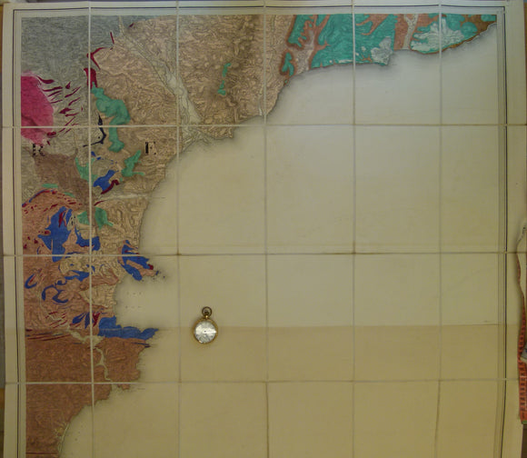
Sheet 22 & 23, Old Series 1" joined. No dates. Dorset / Devon: Lyme Regis, Tor Bay and Start Bay on south coast. Hand-coloured engraving, 97 x 100cm, dissected, mounted on linen, and folded to 24 x 16.5cm with index map pasted on top outside fold. No legend: absence of keys on each map, indicates a very early unrevised, engraved plates. There was no issue stamp on the top margin. Margins at join and bottom margin of 23 trimmed to map edges, so any dates there are lost. Clean, bright colours. Sea makes up 70% of map area. In fine condition, but as bottom trimmed, rated as very good.
About the England & Wales One Inch Old Series
The Geological Survey of England and Wales used the Old Series of the Ordnance Survey topographic map at a scale of one inch to the mile as its basemap, initially. These engraved basemaps were published and revised between 1805 and 1885; the sheet sizes varied and the layout and numbering system were eccentric. The Old Series geological maps were hand-coloured and without geological sections, which were published separately. The GS of E&W published the Old Series from 1850 to 1900, when it switched to the colour printing and the New Series one inch maps. However, old stock of the Old Series continued to be issued, hand-coloured, until the 1930s.
See also: Index Map for England & Wales One Inch Old Series.