
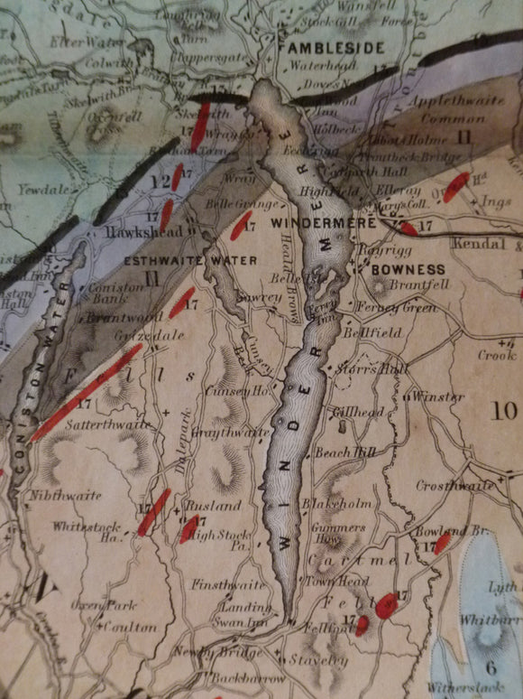


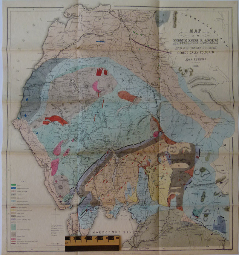
Map of the English Lakes and adjoining Country, Geologically Coloured, 1855
Map of the English Lakes and adjoining Country, Geologically Coloured, 1855 (d.o.m.), (usually missing) by John Ruthven (1790-1868). Lithological legend. Hand coloured engraving, 47.5 x 43cm (18.75 x 17in.) Folded. Clean bright colours, tiny splits at intersections of folds, otherwise very good.