Free UK postage
Yorkshire 203 sw. Leeds. Provisional. Surveyed 1937, issued 1954. Geological Survey of England & Wales.
Yorkshire 203 sw. Leeds. Provisional. Surveyed 1937, issued 1954. Outline geology in black on grey basemap with red contours. National Grid information in red. In very good condition.
Regular price £1000 £10.00
Yorkshire 203 se. Leeds, northeast. Provisional. Surveyed 1938, issued 1954. Geological Survey of England & Wales.
Yorkshire 203 se. Leeds, northeast. Provisional. Surveyed 1938, issued 1954. Outline geology in black on grey basemap with red contours. National Grid information in red. In very good condition.
Yorkshire 202 sw. Calverley. Surveyed 1936, issued 1945. Geological Survey of England & Wales.
Yorkshire 202 sw. Calverley. Surveyed 1936, issued 1945. Outline geology in black on grey basemap with red contours. Tape residue on top edge. In very good condition.
Yorkshire 202 se. Horsforth. Surveyed 1936, issued 1952. Geological Survey of England & Wales.
Yorkshire 202 se. Horsforth. Surveyed 1936, issued 1952. Outline geology in black on grey basemap with red contours. National Grid information in red. In very good condition.
Worcestershire 10 sw. Rubery. Surveyed 1920, issued 1924. Geological Survey of England & Wales.
Worcestershire 10 sw. Rubery. Surveyed 1920, issued 1924. Outline geology in blue on black basemap with red contours. In very good condition.
Worcestershire 10 nw. Frankley. Surveyed 1920, issued 1924. Geological Survey of England & Wales.
Worcestershire 10 nw. Frankley. Surveyed 1920, issued 1924. Outline geology in blue on black basemap with red contours. In very good condition.
Warwickshire 9 se. Shustoke. Surveyed 1913, issued 1922. Geological Survey of England & Wales.
Warwickshire 9 se. Shustoke. Surveyed 1913, issued 1922. Outline geology in blue on black basemap with red contours. All margins trimmed but without loss of marginalia. In very good condition.
Warwickshire 5 se. Kingsbury. Surveyed 1940, issued 1948. Geological Survey of England & Wales.
Warwickshire 5 se. Kingsbury. Surveyed 1940, issued 1948. Outline geology in black on grey basemap with red contours. All margins trimmed but without loss of marginalia. In very good condition.
Warwickshire 22 nw. Bentley. Surveyed 1913, issued 1922. Geological Survey of England & Wales.
Warwickshire 22 nw. Bentley. Surveyed 1913, issued 1922. Outline geology in blue on black basemap with red contours. In very good condition.
Warwickshire 22 nw. Allesley. Surveyed 1913, issued 1922. Geological Survey of England & Wales.
Warwickshire 22 nw. Allesley. Surveyed 1913, issued 1922. Outline geology in blue on grey basemap with red contours. All margins trimmed but without loss of marginalia. In very good condition.
Warwickshire 17 sw. Hawkesbury. Surveyed 1914, issued 1922. Geological Survey of England & Wales.
Warwickshire 17 sw. Hawkesbury. Surveyed 1914, issued 1922. Outline geology in blue on black basemap with red contours. All margins trimmed but without loss of marginalia. In very good condition.
Warwickshire 17 nw. Bedworth. Surveyed 1913, issued 1922. Geological Survey of England & Wales.
Warwickshire 17 nw. Bedworth. Surveyed 1913, issued 1922. Outline geology in blue on black basemap with red contours. All margins trimmed but without loss of marginalia. In very good condition.
Smith, William. (1824). REPRO Geological Map of Durham. 1993 reproduction by British Geological Survey. 55 x 50 cm approx. 80% of original size. British Geological Survey.
Smith, William. (1824). REPRO Geological Map of Durham. 1993 reproduction by British Geological Survey. 55 x 50 cm approx. 80% of original size. Bright colour reproduction on white silk-finish medium...
Regular price £900 £9.00
Smith, William. (1819). REPRO Geological Map of Berkshire of 1823. 1993 reproduction by British Geological Survey. 55 x 50 cm approx. 80% of original size. British Geological Survey.
Smith, William. (1819). REPRO Geological Map of Berkshire of 1823. 1993 reproduction by British Geological Survey. 55 x 50 cm approx. 80% of original size. Bright colour reproduction on white...
Smith, William (1819) REPRO Geological Map of Gloucestershire. 1993 reproduction by British Geological Survey. British Geological Survey.
Smith, William (1819) REPRO Geological Map of Gloucestershire. 1993 reproduction by British Geological Survey. 55 x 50 cm approx. 80% of original size. Bright colour reproduction on white silk-finish medium...
Strahan, A. (1906). Guide to the Geological Model of the Isle of Purbeck,. London: HMSO, 1st edition. 26pp. Paperback,. British Geological Survey.
Strahan, A. (1906). Guide to the Geological Model of the Isle of Purbeck,. London: HMSO, 1st edition. 26pp. Paperback, stitched binding. Cover torn but neatly repaired. Owner signature on cover....
Le Neve Foster, C (1878). ‘On the Great Flat Lode south of Redruth and Camborne [Cornwall] and on some other Tin-Deposits formed by the Alteration of Granite’ , extract. Geological Society of London.
Le Neve Foster, C (1878). ‘On the Great Flat Lode south of Redruth and Camborne [Cornwall] and on some other Tin-Deposits formed by the Alteration of Granite’ , extract from...
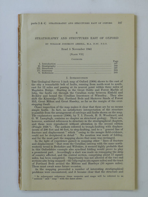
Arkell, W.J. 1941. ‘Stratigraphy and Structures East of Oxford’. Geological Society of London.
Arkell, W.J. 1941. ‘Stratigraphy and Structures East of Oxford’ extract from Quarterly Journal of the Geological Society, v. 98, pp. 187-204 + fold-out colour printed ‘the Geology of the Country...
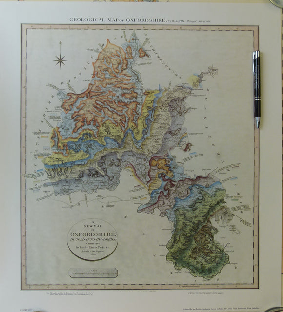
William Smith Geological Map of Oxfordshire of 1823. 1993 REPRO
William Smith REPRO Geological Map of Oxfordshire of 1823. 1993 reproduction by British Geological Survey. 55 x 50 cm approx. 80% of original size. Bright colour reproduction on white silk-finish...