Free UK postage
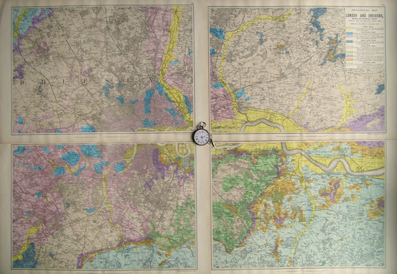
Geological Map of London and Environs, showing the Superficial Deposits,1890. Bacon.
Geological Map of London and Environs, showing the Superficial Deposits,1890s, Scale 1"=1mile. Colour print set of 4 sheets, each 13.5"x21", not joined. In very good condition. Flat sheets have original...
Regular price £8400 £84.00
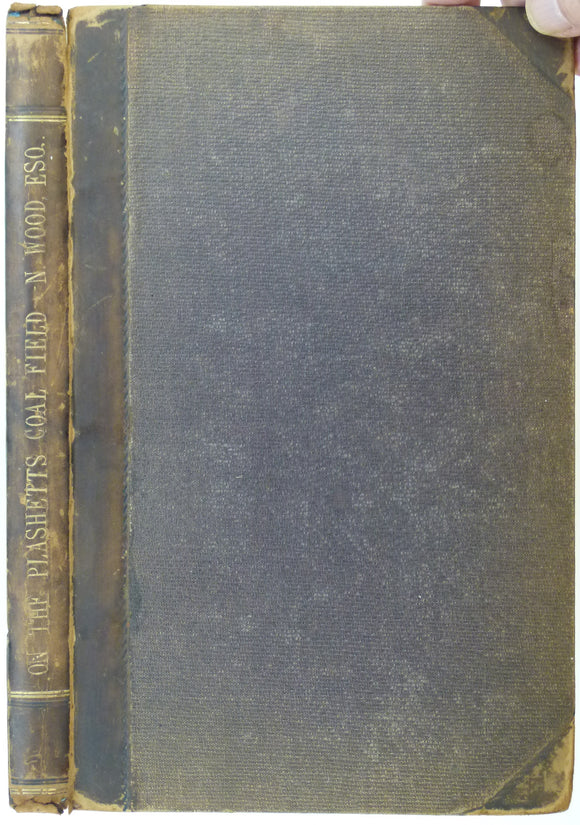
Wood, Nicholas. (1862). ‘On the Upper and Lower Beds of Coal of the Counties of Northumberland and Durham’. Hardback copy of extract. NEIME.
Wood, Nicholas. (1862). ‘On the Upper and Lower Beds of Coal of the Counties of Northumberland and Durham’ extract from the Proceedings of the North of England Institute of Mining...
Regular price £7500 £75.00
Yorkshire, Sheet 85 6", 1900 rev. Yorks, Masham and Jervaulx, 28 x 40 - Colour wash on topographical map. Geological Survey of England & Wales.
Yorkshire, Sheet 85 6", 1900 rev. Yorks, Masham and Jervaulx, 28 x 40 - Colour wash on topographical map. 4 sheets joined, complete key, Very good. Flat cartridge on linen....
Regular price £7250 £72.50
Yorkshire, Sheet 218 6", 1875. Yorks, Leeds, 27.5 x 40 - Engraved, Colour wash, Good. Geological Survey of England & Wales.
Yorkshire, Sheet 218 6", 1875. Yorks, Leeds, 27.5 x 40 - Engraved, Colour wash Good. Flat cartridge.
Regular price £6900 £69.00
Yorkshire, Sheet 108, sw 6", 1944. Yorks, Leeds, 16x25.5* - Engraved, Colour wash, V.good.Flat cartridge mounted and framed. Geological Survey of England & Wales.
Yorkshire, Sheet 108, sw 6", 1944. Yorks, Leeds, 16x25.5* - Engraved, Colour wash V.good.Flat cartridge mounted and framed
Powell, PM. (c1823). Hastings Guide: a Concise Historical and Topographical Sketch of Hastings, Battle, Winchelsea, and Rye. Hastings: author, and London: Longmans. Longman et al.
Powell, PM. (c1823). Hastings Guide: a Concise Historical and Topographical Sketch of Hastings, Battle, Winchelsea, and Rye. Hastings: author, and London: Longmans et al. 3rd edition, 92pp. Hardback, original green...
Regular price £6500 £65.00
Bristow, H.W. (1889). The Geology of the Isle of Wight, Memoir of the Geological Survey of England and Wales. London: HMSO. 2nd ed. British Geological Survey.
Bristow, H.W. (1889). The Geology of the Isle of Wight, Memoir of the Geological Survey of England and Wales. London: HMSO. 2nd edition, enlarged and revised by Clement Reid and...
Yorkshire, Sheet 282 6", 1873. Yorks, Tankersley, 27.5 x 40 - Engraved, Colour wash, Good. Geological Survey of England & Wales.
Yorkshire, Sheet 282 6", 1873. Yorks, Tankersley, 27.5 x 40 - Engraved, Colour wash Good. Flat cartridge.
Regular price £6400 £64.00
Yorkshire, Sheet 275 6", 1875. Yorks, Billingley, 27.5 x 40 - Engraved, Colour wash, Very good. Geological Survey of England & Wales.
Yorkshire, Sheet 275 6", 1875. Yorks, Billingley, 27.5 x 40 - Engraved, Colour wash Very good. Flat cartridge.
Yorkshire, Sheet 217 6", 1875. Yorks, Pudsey, 27.5 x 40 - Engraved, Colour wash, Very good. Geological Survey of England & Wales.
Yorkshire, Sheet 217 6", 1875. Yorks, Pudsey, 27.5 x 40 - Engraved, Colour wash Very good. Flat cartridge.
Yorkshire, Sheet 202 6", 1876. Yorks, Kirkstall, 27.5 x 40 - Engraved, Colour wash, Very good. Geological Survey of England & Wales.
Yorkshire, Sheet 202 6", 1876. Yorks, Kirkstall, 27.5 x 40 - Engraved, Colour wash Very good. Flat cartridge.
Yorkshire, Sheet 200 6", 1878. Yorks, Keighley, 27.5 x 40 - Engraved, Colour wash, Good. Geological Survey of England & Wales.
Yorkshire, Sheet 200 6", 1878. Yorks, Keighley, 27.5 x 40 - Engraved, Colour wash Good. Flat cartridge. Good graphic.
Yorkshire, Sheet 184 6", 1872. Yorks, Thornton in Craven, 27.5 x 40 - Engraved colour wash. Geological Survey of England & Wales.
Yorkshire, Sheet 184 6", 1872. Yorks, Thornton in Craven, 27.5 x 40 - Engraved colour wash. SE 20% blank as Lancs Good. Flat cartridge. Good graphic.
Yorkshire, Sheet 101 6", 1900/1901. Yorks, Grewelthorpe, 27.5 x 40 - Colour wash on topographical map, Four sheets joined., Good. Geological Survey of England & Wales.
Yorkshire, Sheet 101 6", 1900/1901. Yorks, Grewelthorpe, 27.5 x 40 - Colour wash on topographical map Four sheets joined. Good. Flat cartridge on linen. Good graphic.
Lancashire, 1862, 6". Engraved colour wash. Geological Survey of England & Wales.
Engraved, colour wash, 29 x 41 - Good. Flat cartridge.
Lancashire, 1866 rev, 6". Engraved colour wash. Geological Survey of England & Wales.
Engr, colour wash E¼ blank as Yorks, 27.5 x 40 - Very good. Flat cartridge.
Lancashire, 1864, 6". Engraved colour wash. Geological Survey of England & Wales.
Engraved, colour wash, East 20% blank as Yorks. 27.5 x 40 - Very good. Flat cartridge.
Lancashire, 1861, 6". Engraved colour wash. Geological Survey of England & Wales.
Engraved, colour wash, 27.5 x 40 - Very good. Flat cartridge.
Lancashire, 1867, 6". Engraved colour wash. Geological Survey of England & Wales.
Engraved, colour wash, 27.5 x 40 - Good. Flat cartridge.