


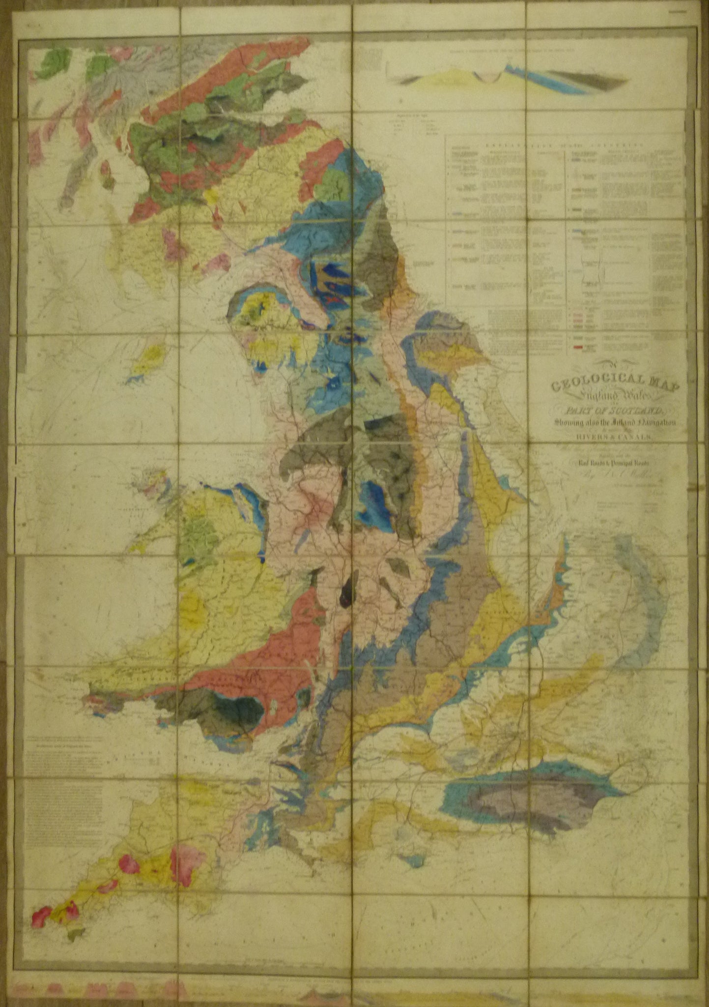
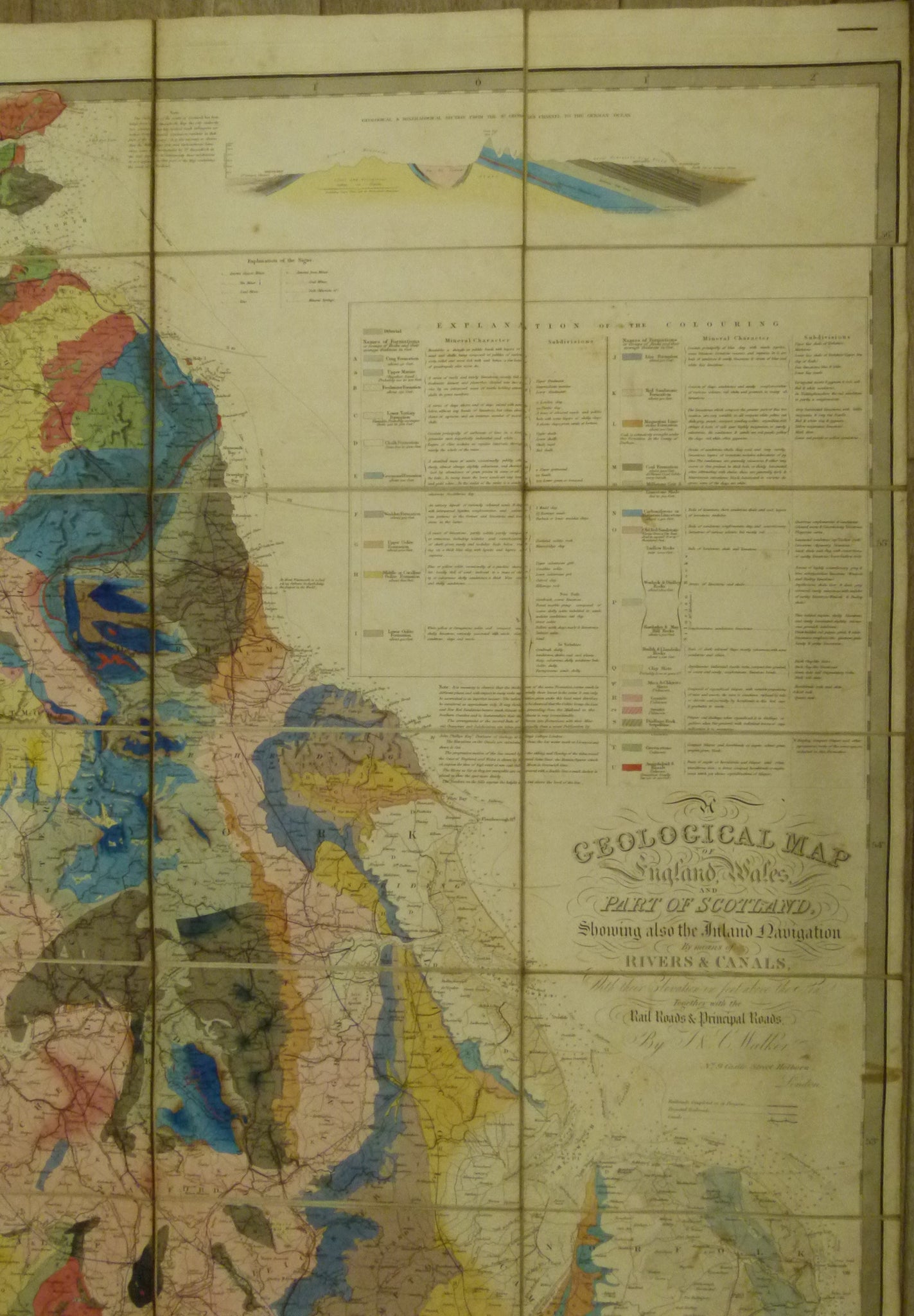
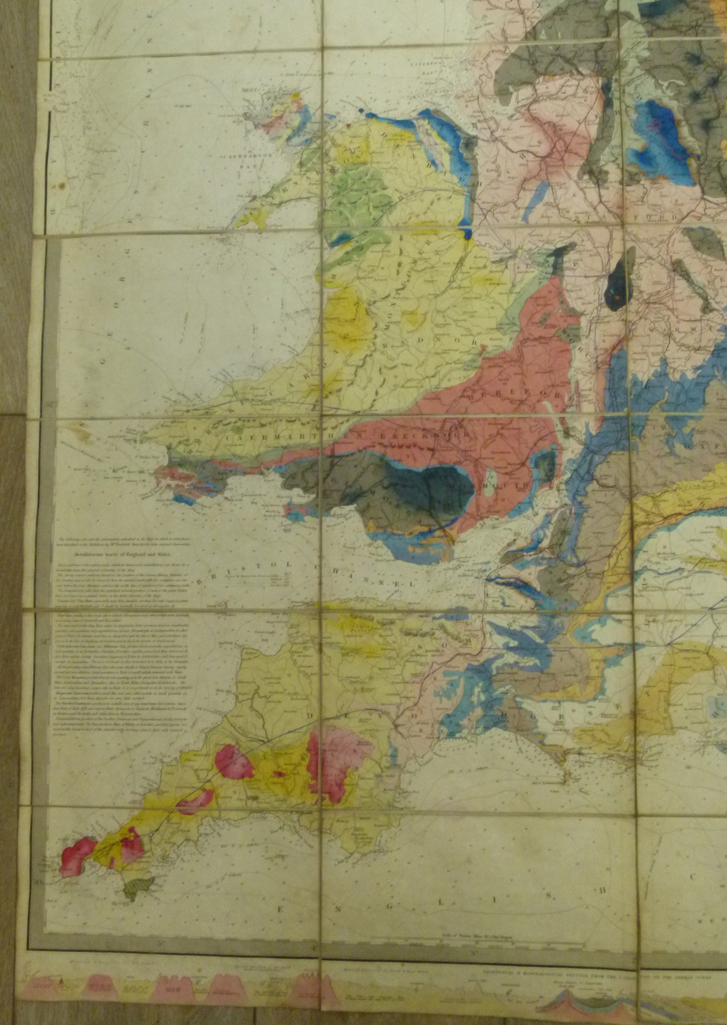
Walker, J. & C. 1838*. A Geological Map of England & Wales and Part of Scotland. Hand coloured engraved map 144 x 100cm
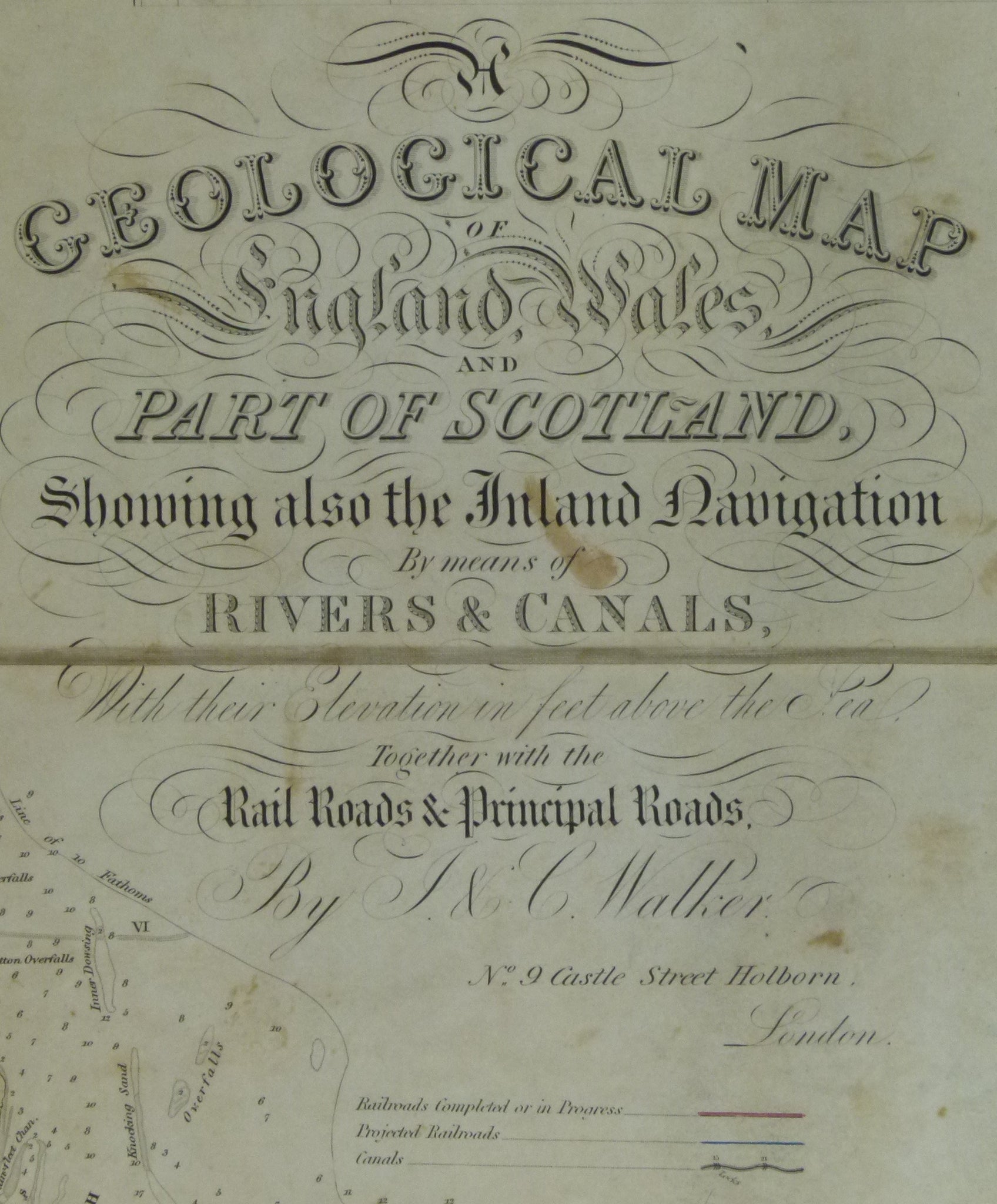
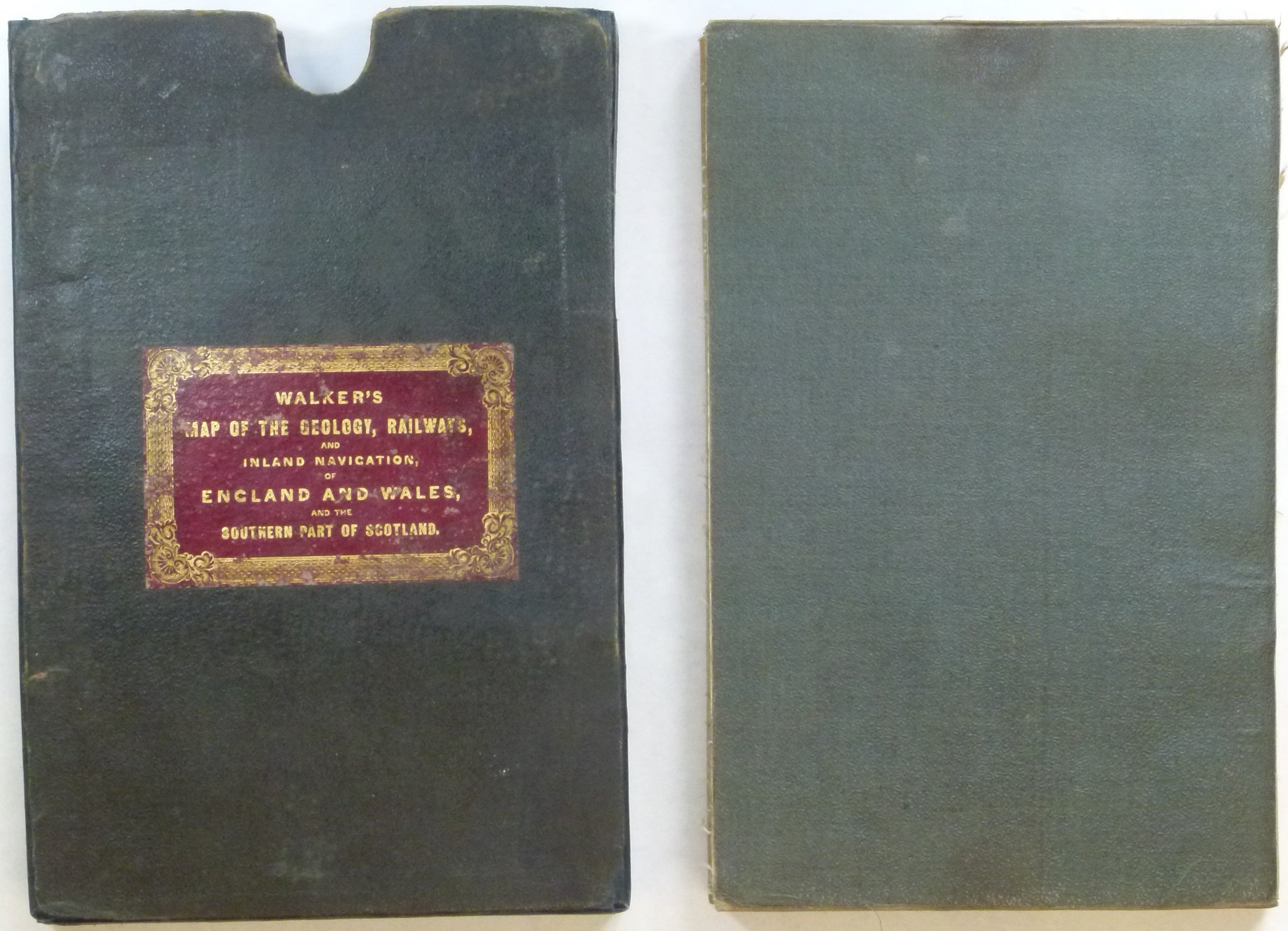
Walker, J. & C. 1838*. A Geological Map of England & Wales and Part of Scotland; Showing also the Inland Navigation by Means of Rivers and Canals, with their Elevation in Feet Above the Sea Together with the Rail Roads and Principle Roads. London: J&C Walker, Date trimmed from bottom margin. Hand coloured engraved map 144 x 100cm, cut and mounted on linen folding to 25 x 16cm between green card covers and fitting into a rebacked slipcase covered with original black cloth retaining original Walker’s red leather label.
*Although very similar to the first edition, the change of address from 3 Burleigh St. to 9 Castle St. places this map after the March 31st, 1837 edition. It is therefore from the next and last known dated issue of Dec. 15th, 1838. Apart from the change of address the colour used for the toadstone (basalt) in Derbyshire, changed from green to brown. (personal communication C.Toland). Refer to Toland et al, ‘The Life and Works of James Alexander Knipe’, Earth Sciences History, v.32, n.2. p.302.