


Trotter, Frederick Murray (1947). ‘Structure Map of the Ammanford District’, a fold out colour printed map
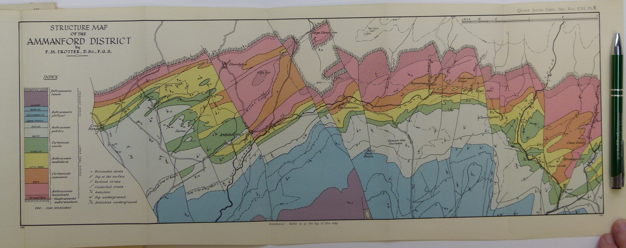
Trotter, Frederick Murray (1947). ‘Structure Map of the Ammanford District’, a fold out colour printed map at 1:63,360 scale, 21 x 55cm, from ‘The Structure of the Coal Measures in the Pontardawe-Ammanford Area, South Wales’, an extract from the Quarterly Journal of the Geological Society. v.103, pp.89-133. Map and text age-toned, clean. All in very good condition.