
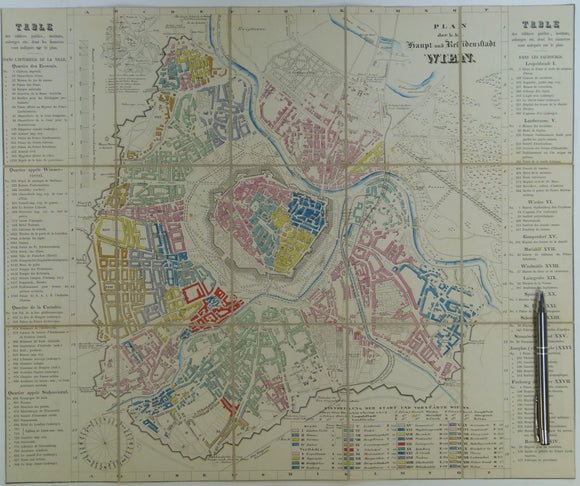


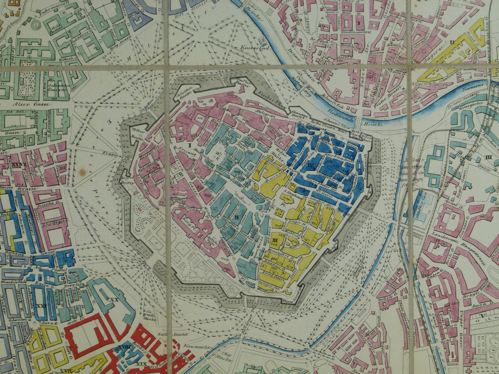
Vienna. Wien Plan der k.k. Haupt und Residenzstadt (c.1850-57). Scale approx1:17,000. Hand-coloured engraved town map 42.5 x 51cm
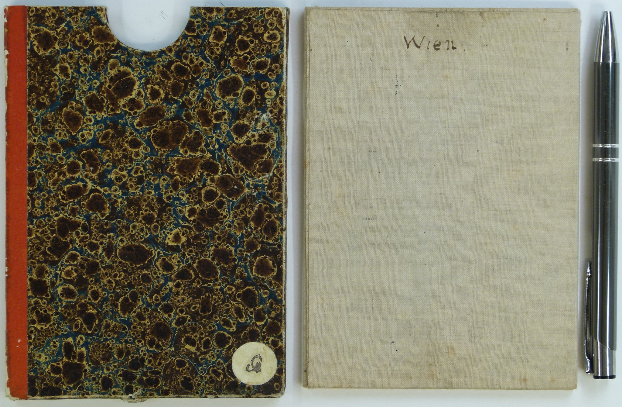
Vienna. Wien Plan der k.k. Haupt und Residenzstadt (c.1850-57). Scale approx1:17,000. Hand-coloured engraved town map 42.5 x 51cm folding to 14 x 10cm. Dissected and mounted on linen. Age-toned and in very good condition, however trimmed to neatline with loss of date, scale and publication information. Fits into original marbled card sleeve with red imitation leather ‘binding’ with embossed gilt lettering to ‘spine’, ‘Plan de Vienne’. Prominent buildings and institutions numbered and listed in French in columns to right and left of map derived from 1847 original with title block and tabular information revised. Slight wear, in good to very good condition. Not geological.