
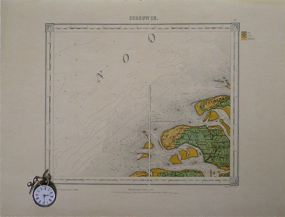
Schouwen, sheet 17.
Schouwen, sheet 17. 1:200,000 scale. 1942 reproduction of Ministerie van Oorlog/ Topographisch Bureau map that was cut in half and mounted on linen. Colour printed on a light laminated paper, 37x51cm, map area is 28x34cm. Almost entirely of the Netherlands. In very good condition. Copy 2, in good condition, has faint library stamp in margin.