
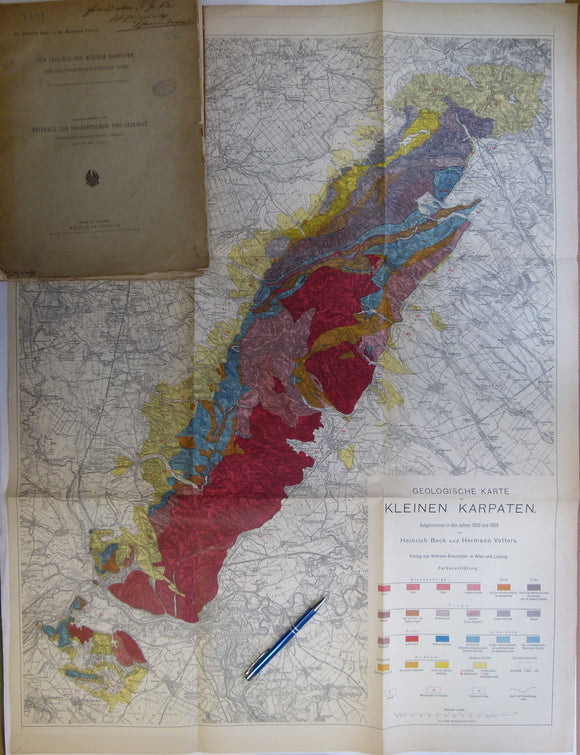


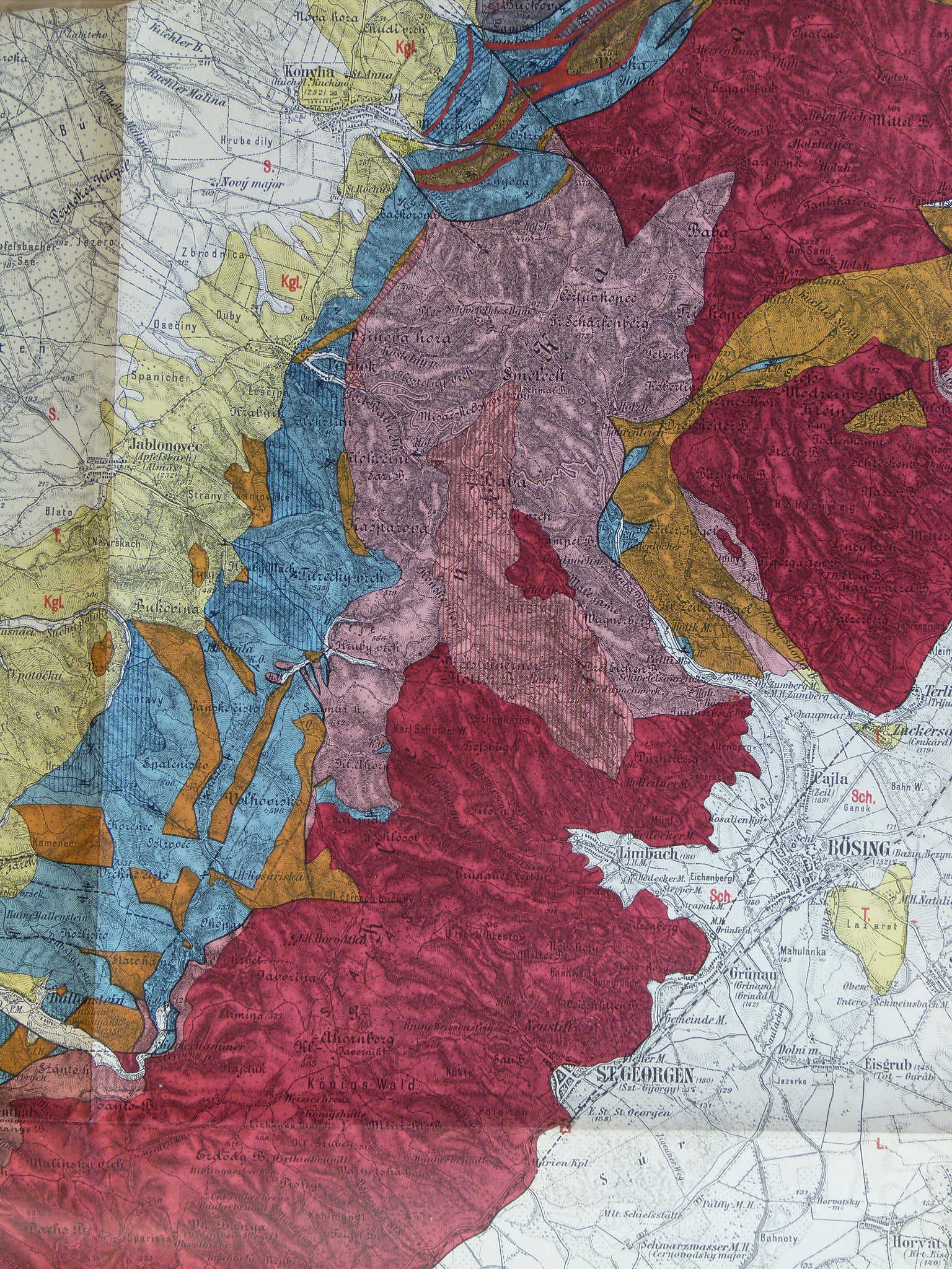


Beck, Heinrich, and Vetters, Hermann. (1904). ‘Geologische Karte der Kleinen Karpaten’, 1:75,000 scale, 91 x 69cm, colour printed and folding to 33 x 24cm.
Beck, Heinrich, and Vetters, Hermann. (1904). ‘Geologische Karte der Kleinen Karpaten’, 1:75,000 scale, 91 x 69cm, colour printed and folding to 33 x 24cm. Age-toned, but clean, no tears. In very good condition.
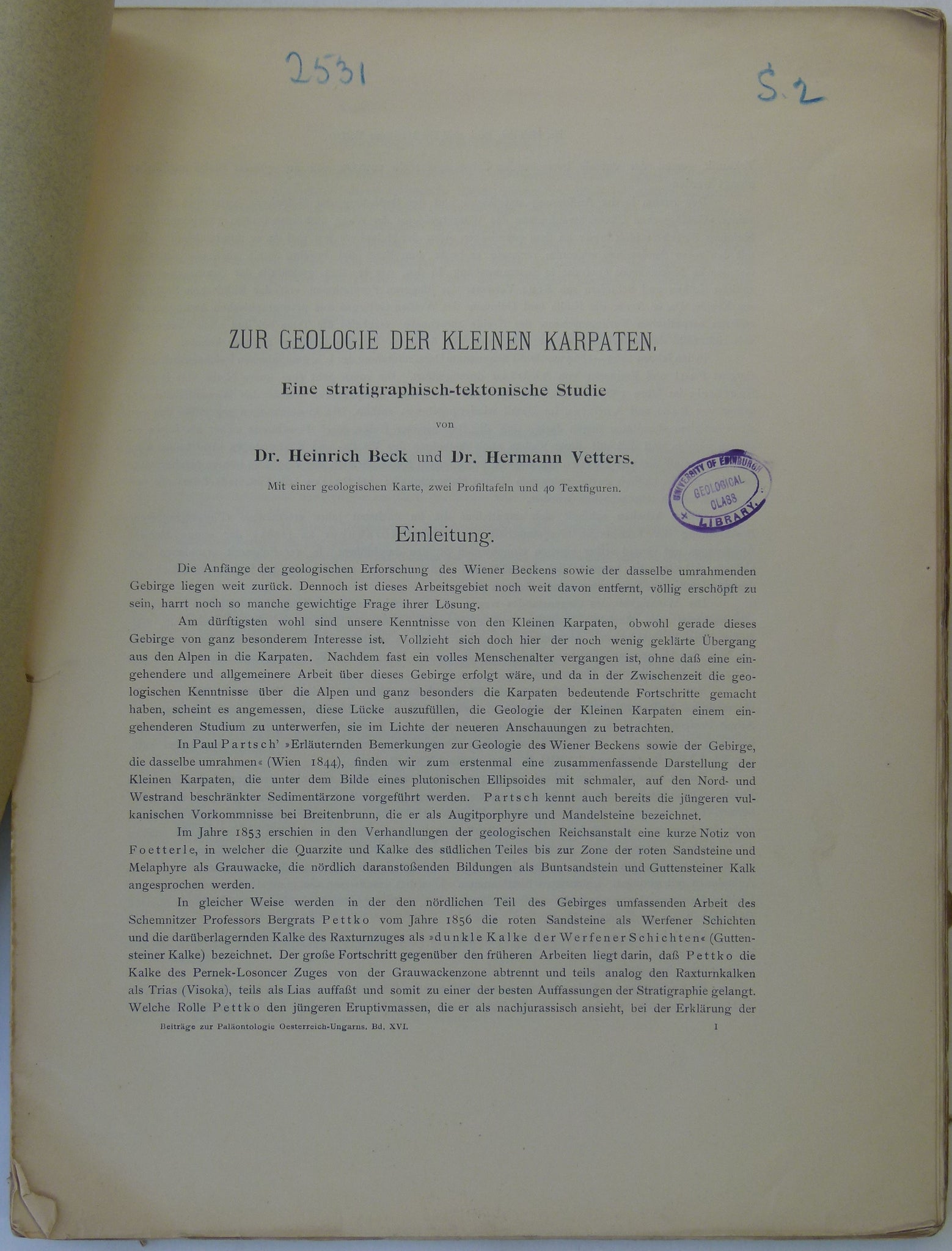
Attached to Zur Geologie der Kleinen Karpaten; eine Stratigraphisch-Tektonische Studie. Off print from Beiträge zur Paläontologie und Geologie Österreich-Ungarns und des Orients. Wein: Wilhelm Braumüller band XVI, heft I & II, 106pp + fold-out map in first line and two b/w double page sections. Pages in loose gatherings, but all present. Page edges untrimmed, with minor marginal tears, age-toned. Library stamp to first page. Author’s signature addressed to Director A Geikie, and a subsequent owner’s signature on cover. Original publisher’s paper covers edges chipped and with minor marginal tears. In good condition.
In present day Slovakia. Pressburg on image 3 is now Bratislava.
About Czechoslovak Maps
This Post World War Two geological colour printed map series was published by the Czechoslovak Geological Survey prior to the separation into Slovakia and the Czech Republic.
See also: Index Map for Former Czechoslovakia.