
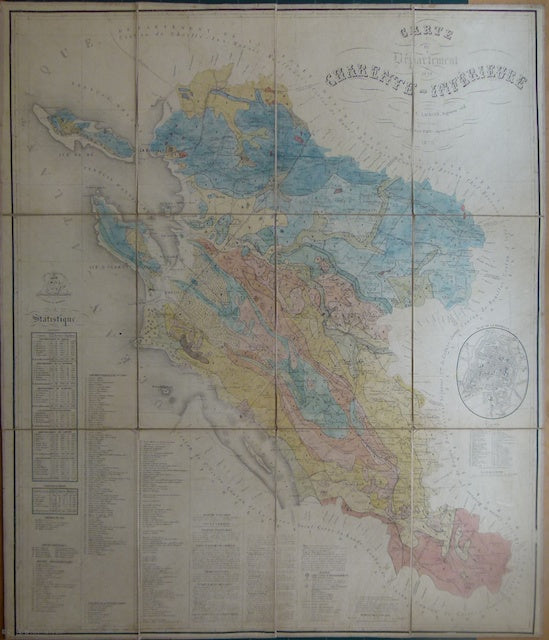
Carte du Departement de la Charente Inférieure,1870
Carte du Departement de la Charente Inférieure,1870. Scale 1:200,000, 82.5 x 71, cut, mounted on linen to fold to 28 x 117.5cm. Manuscript with geological boundaries and colours by hand on a Departmental base map. Has inset map of La Rochelle at 1:20,000. No legend. Faded and age-toned but in good condition.