


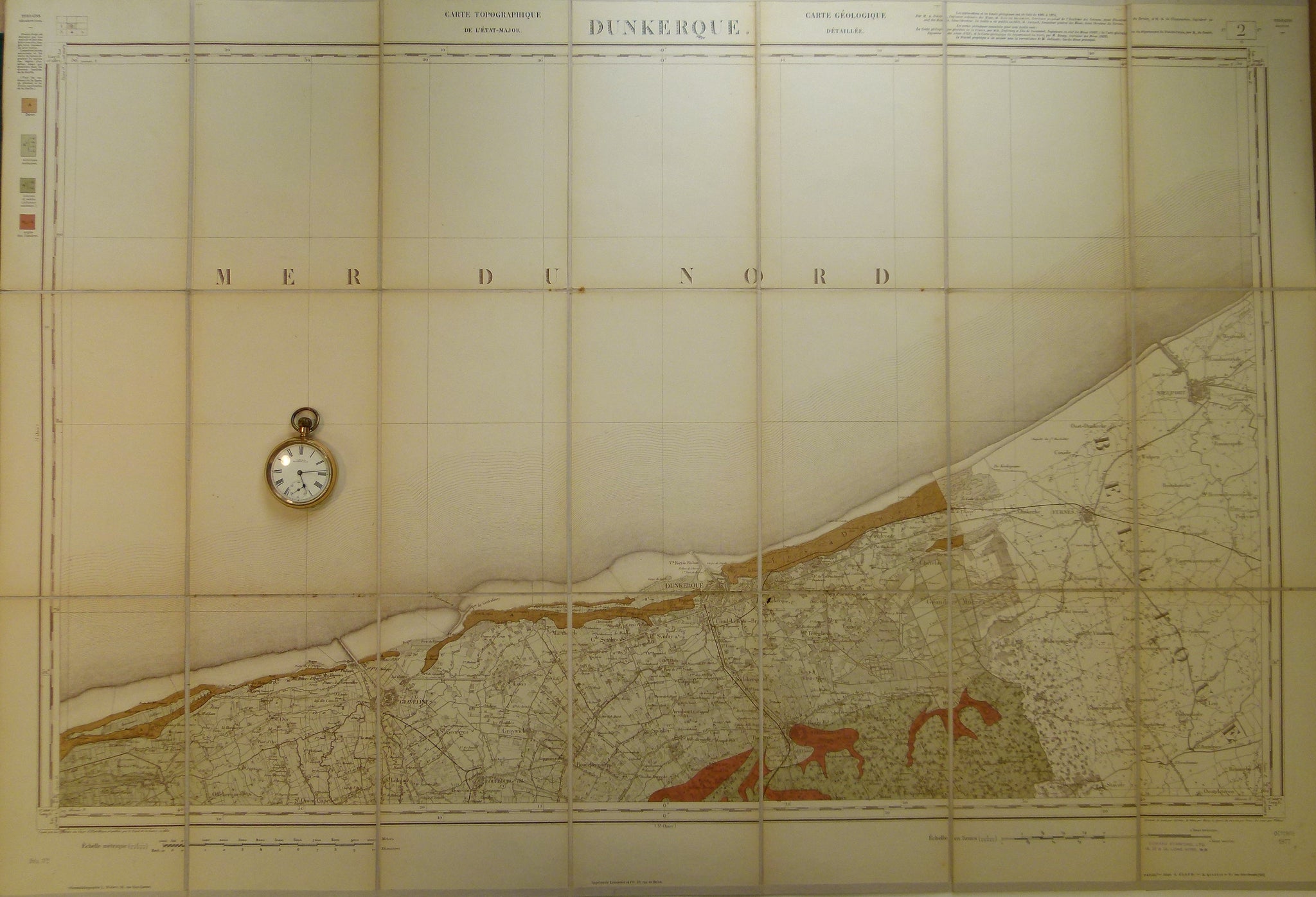
Sheet 2, Dunkerque, Carte Géologique Détaillée de, 1876, 1:80,000 scale.
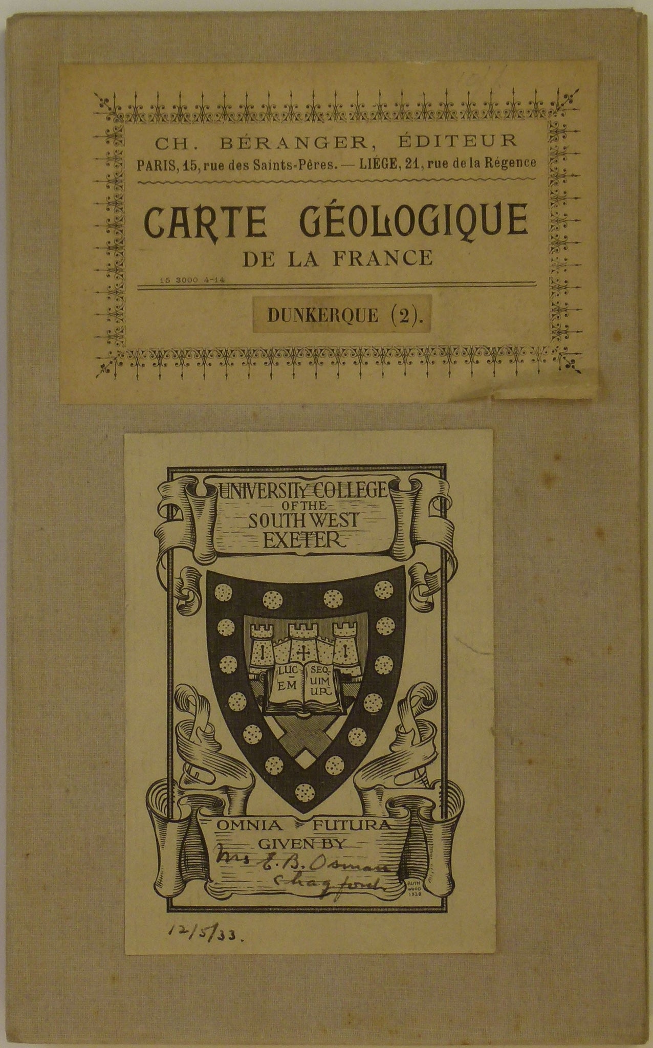
Sheet 2, Dunkerque, Carte Géologique Détaillée de, 1876, 1:80,000 scale. Base map 1832, issued 1877. Colour printed map, 62.5 x 91cm, (with notice explicative, 62.5 x 117cm) dissected and mounted on linen folding to 20.5 x 13 cm.; linen folded over to protect map edges. Neat manuscript notes and lines in ink across Channel locating several anticlinal axes. Neat pencil graphic scale in miles in bottom margin. On outside as folded, book plates of mapseller, Ch. Béranger and of University College, Exeter. The Channel occupies approx. 70% of this map. In very good condition.