
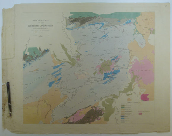


Sedgwick, A. and Murchison, R.I. (1842). ‘Geological Map of the Rhenish Countries’ from Transactions of the Geological Society,
Sedgwick, A. and Murchison, R.I. (1842). ‘Geological Map of the Rhenish Countries’ from Transactions of the Geological Society, series 2, v.6, plate 24. Hand-coloured engraving by John Arrowsmith, 51 x 66.5, plate area 48 x 59 cm. Approx scale 1:500,000. Flat, clear plate mark, clean, light age-toning negligible wear, faint trace of old fold. With description of plates 23 and 24 and all woodcuts in v.6 attached by glued overlap on right margin. In good to very good condition.