
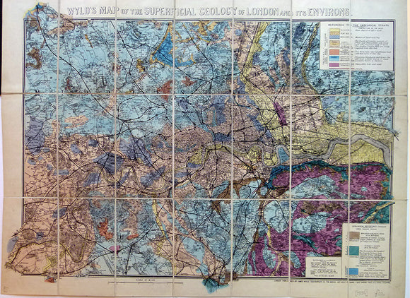


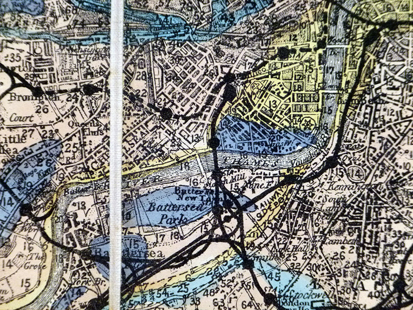
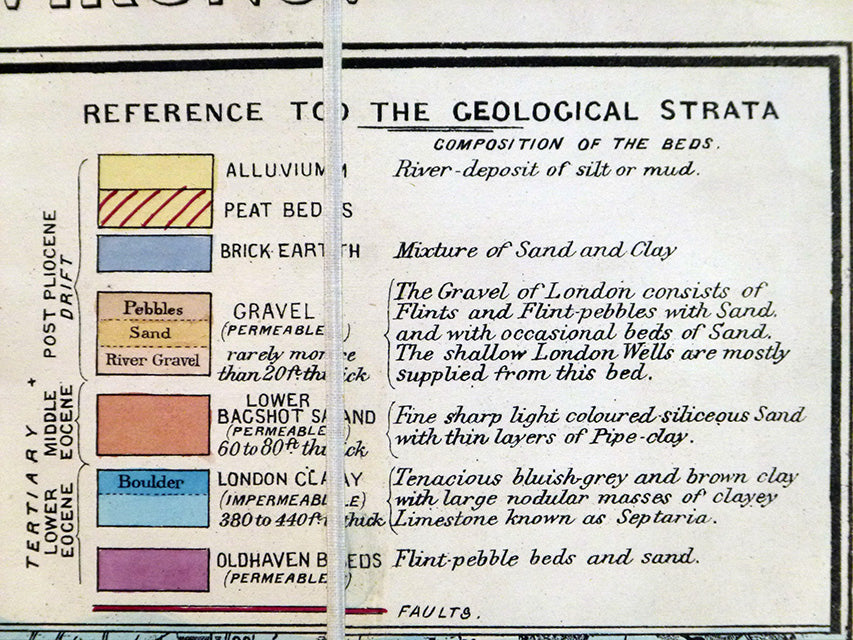
Wyld’s Map of the Superficial Geology of London and its Environs
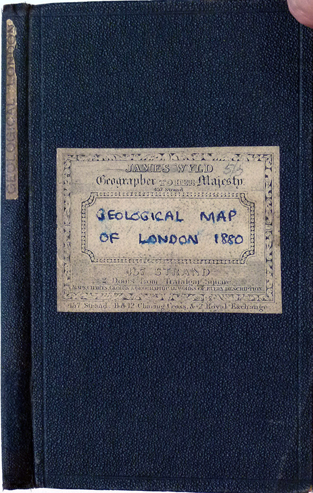
Wyld’s Map of the Superficial Geology of London and its Environs, c.1880. Hand-coloured, 58 x 70.5cm (16.5 x 26.25 in), scale 1:63,360 (1in = 1 mile). Cut, mounted on linen and folded in book-style green embossed cloth covered card covers with Wyld’s label on front, folding to 19 x 11cm (7.5 x 4.25 in). M/s date on label 1880; in map data a reference to 1870 datum. Map clean and bright. Light wear to cover. In very good condition.