
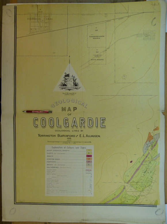


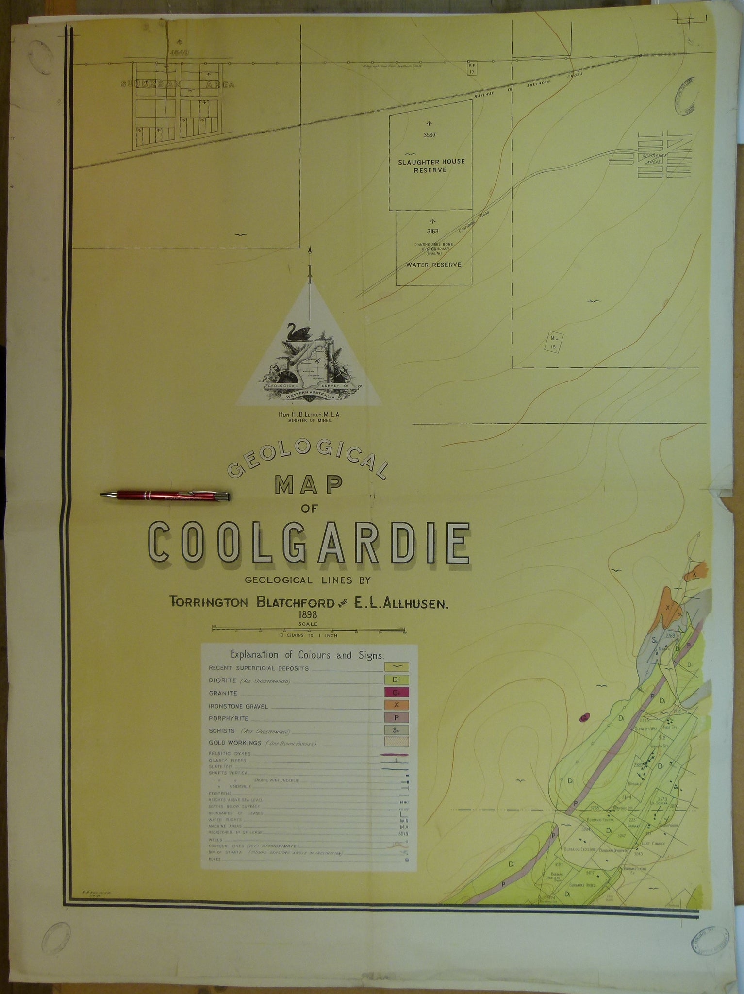


Western Australia, Geological Map of Coolgardie, 1903. ‘Geological lines by Torrington Blatchford and E.L.Allhusen. Colour printed map
Western Australia, Geological Map of Coolgardie, 1903. ‘Geological lines by Torrington Blatchford and E.L.Allhusen. Colour printed map at scale 1:7,920 (1” =10 chains = .125 mile), consisting of four sheets each 77 x 102cm. Coolgardie is located approx. 500km east of Perth. Minor marginal tears, clean old tape repairs, all sheets folded into halves, small library stamps in all corners. Colours bright. In good to very good condition.