
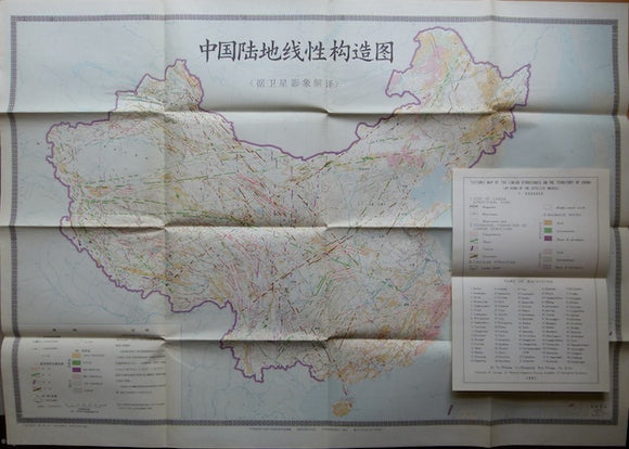
Tectonic Map of the Linear Structures on the Territory of China (by using of the Satellite images), 1981
Tectonic Map of the Linear Structures on the Territory of China (by using of the Satellite images), 1981. Scale 1:6,000,000. Colour printed folded, 56x82.5cm, to fit sleeve, 26x19cm. Map entirely in Chinese but with separate legend in English. With accompanying booklet, 18pp in Chinese with 1p English abstract. Folds to fit sleeve, 28x19.5cm. In very good condition.