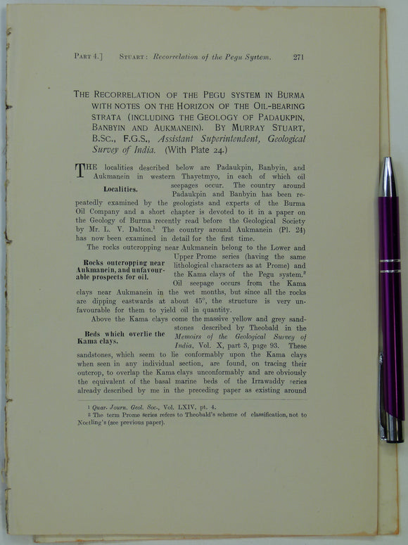
Myanmar. Cotter, G. deP. (1910). ‘The Northern Part of the Yenangyat Oil-Field’, extract of The Records of the Geological Survey of India,. Geological Survey of India.
Myanmar. Cotter, G. deP. (1910). ‘The Northern Part of the Yenangyat Oil-Field’, extract of The Records of the Geological Survey of India, vol. 38, pt.4, pp. 302-307, + 2 foldout...