
Lampernisse-Dixmude, sheet 51
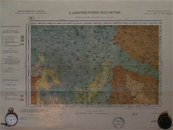
Lampernisse-Dixmude, sheet 51, 1:40,000 scale. 1942 reproduction of Carte Geologique de la Belgique, Institut Cartographique Militaire, 1895. No separate date given for the geological information. Colour printed on a light laminated paper, 42x57cm, map area is 28x43cm. Library stamp in margin. Minor marginal tears do not affect map area. A single fold across the map. In fair to good condition.