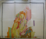
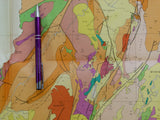
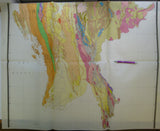
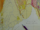
Myanmar. (1977). The Geological Map of Burma. Earth Sciences Research Division, Gov’t of Burma. 1:1,000,000 scale colour printed map on three folded sheets,
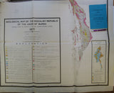
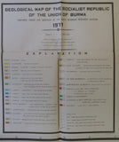
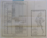
Myanmar. (1977). The Geological Map of Burma. Earth Sciences Research Division, Gov’t of Socialist Republic of Burma. 1:1,000,000 scale colour printed map on three folded sheets, 80.5 x 104cm north and south sheets and 86 x 104cm middle sheet. Folding to 43 x 35cm. the larger middle sheets has margins top and bottom intended to allow overlap pasting. Small inset reliability index map giving sources of geological information. Together with A5 stapled bound booklet ‘Explanatory Brochure’, 22pp + foldout sheet, 46 x 56.5cm, with ‘Correlation Table of Stratigraphic Units of Burma’ and ‘Generalised Tectonic Map’. Clean, with faint library stamps on back of maps. Otherwise, as new. In very good to fine condition.


