
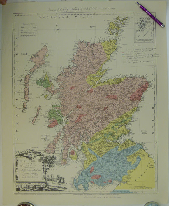
Neckar, LA. (1808). Scotland coloured according to the Rock formations. Facsimile 1939. Edinburgh: Edinburgh Geological Society.
Neckar, LA. (1808). Scotland coloured according to the Rock formations. Facsimile 1939. Edinburgh: Edinburgh Geological Society. With permission of the Geological Society of London. Colour printed facsimile of manuscript map, 79 x 63cm folded to 19.5 x 10.5cm. Scale 1:633,600. In very good condition.
Neckar used Thomas Kitchin’s map of North Britain or Scotland Divided into Counties (1778) as a base map.