


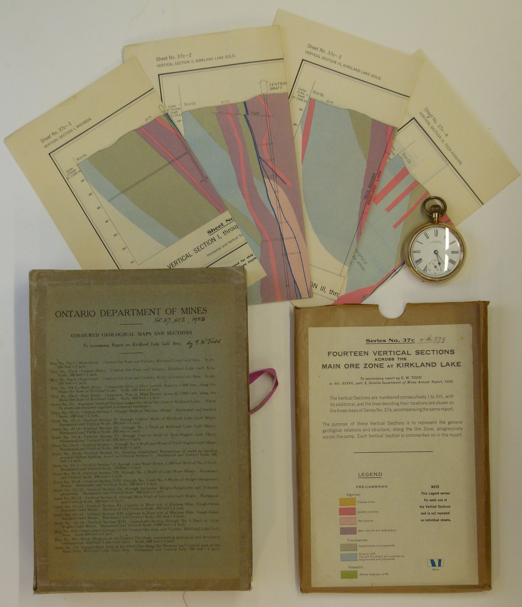


Todd, EW, 1928. Coloured Geological Maps and Sections to accompany Report on Kirkland Lake Gold Area. Dept. of Mines, Ontario
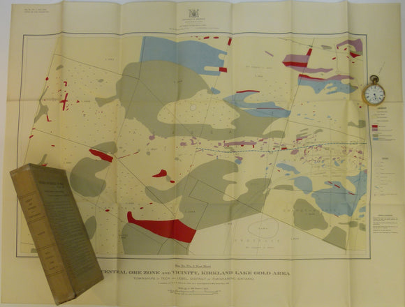
Todd, EW, 1928. Coloured Geological Maps and Sections to accompany Report on Kirkland Lake Gold Area. Dept. of Mines, Ontario, v. XXXVI, pt. 2. Seven folded maps and fifteen folded sections – all colour printed – in original cardboard sleeve with printed spine and contents list on front panel and ‘red tape’. No accompanying report. 3 maps of Central Ore Zone at 1:2400; 2 composite plans of Mine Levels to 1,000 feet at 1:2400; 13 mineshaft sections at 1:2400 and one at 1:12,000; one geological map at 1:4800; and one block diagram at 1:7200. Typical map sheet dimensions vary from largest at 66 x 87.5cm to smallest at 36 x 50cm , all clean and bright and in good to very good condition.