Free UK postage
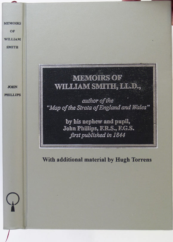
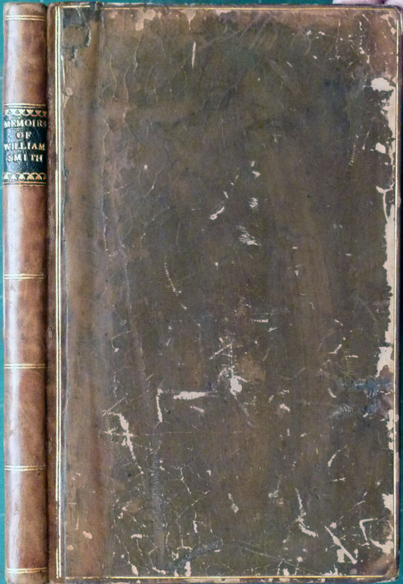
Phillips, John (2003). Memoirs of William Smith, LL.D, author of the “Map of the Strata of England and Wales” Facsimile with additional material by Hugh Torrens. Bath: BRLSI, 230pp. BRLSI.
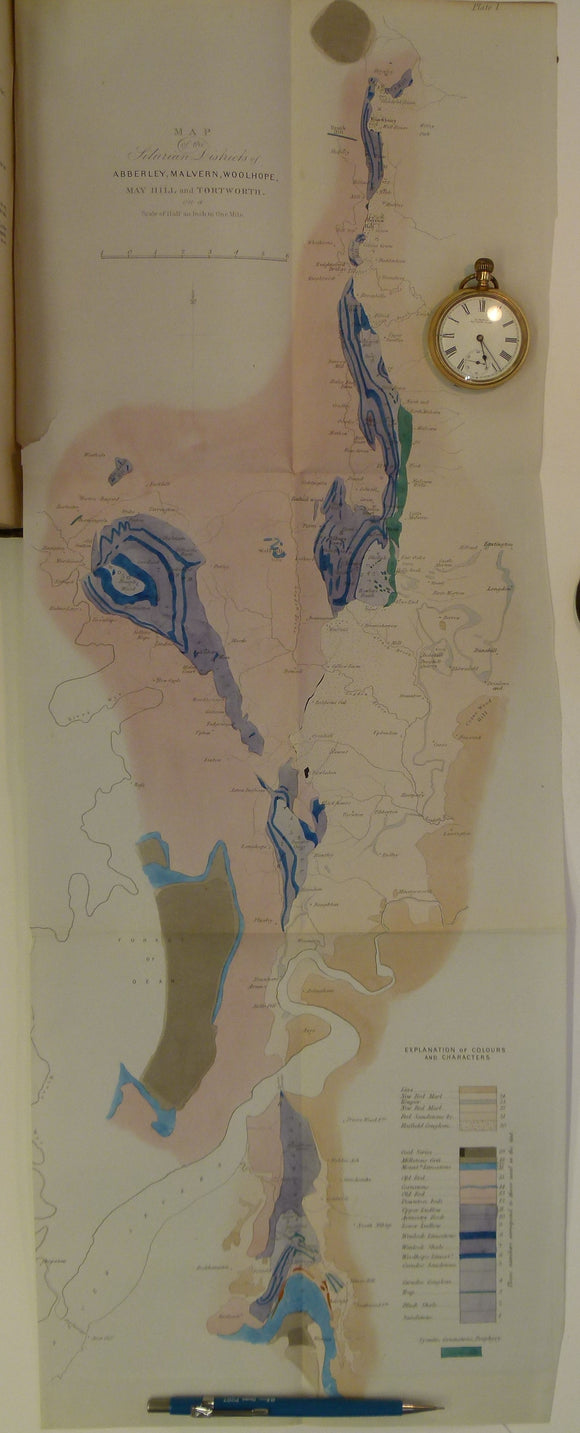
Memoirs of the Geological Survey of GB, v2, pt1, 1848. Incl. J.Phillips, The Malvern Hills. Geological Survey of England & Wales.
Phillips, John (2003). Memoirs of William Smith, LL.D., author of the ‘Map of the Strata of England and Wales’. Facsimile of 1844 original,. Bath Royal Literary & Scientific Institure.
Smith, William. Memoirs of William Smith, LL.D., author of “Map of the Strata of England and Wales, by John Phillips. Facsimile. Arno Press.
Phillps, John (1844). Memoirs of William Smith, LL.D., Author of the “Map of the Strata of England and Wales”. London: John Murray. 1844. Association copy. John Murray.
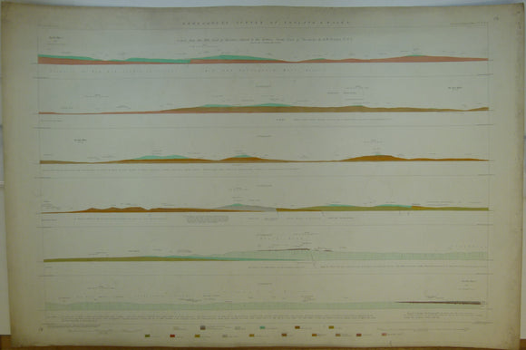
Horizontal Section No. 19 (1878) From Knighton Heath, Dorsetshire to near Honiton, Devonshire. Geological Survey of GB. 2nd edition. Geological Survey of England and Wales.
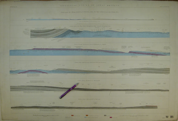
Horizontal Section No. 18 (n.d. c1845) Sections across the Mining Districts of Derbyshire from Axe Edge to Bolsover. Geological Survey of GB. 1st edition. Geological Survey of England and Wales.
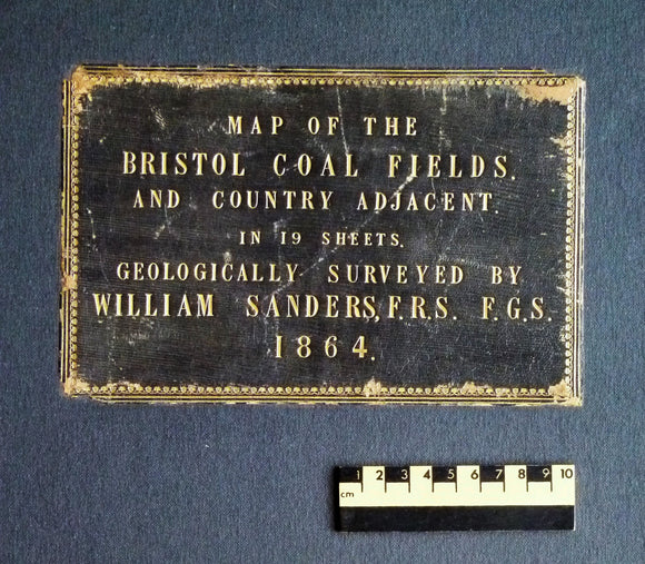
Sanders, William (1864). Map of the Bristol Coal Field and Country Adjacent in 19 Sheets, Geologically Surveyed. Hardback atlas, Rare. self published.
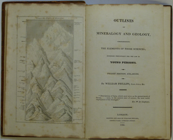
Phillips, William. 1826. Outlines of Mineralogy and Geology, Comprehending the Elements of those Sciences. Phillips, William.
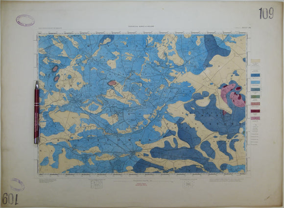
Ireland sheet 109, Tullamore, 1” scale. 1864. First edition. Base map not dated. Covers Clara, Phillipstown. Hand-coloured. Geological Survey of Ireland.
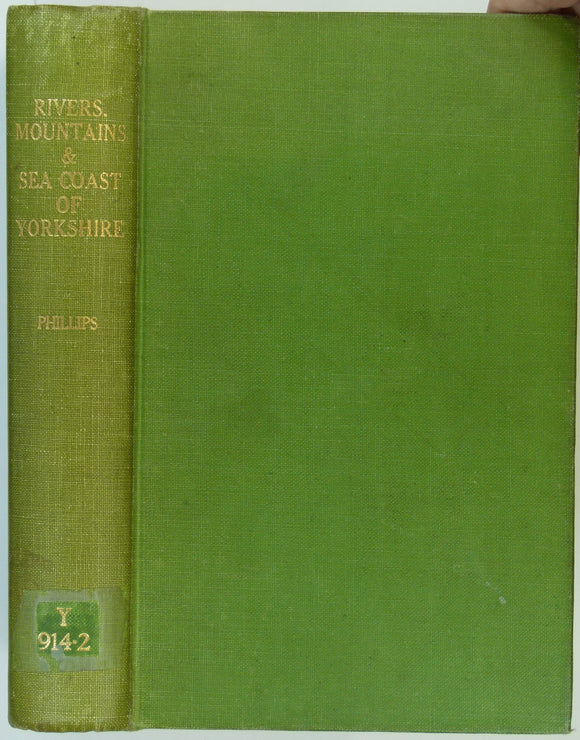
Phillips, John (1853). The Rivers, Mountains and Sea-Coast of Yorkshire with Essays on the Climate, Scenery, and Ancient Inhabitants of the County. London: John Murray, 302pp,. John Murray.