Free UK postage
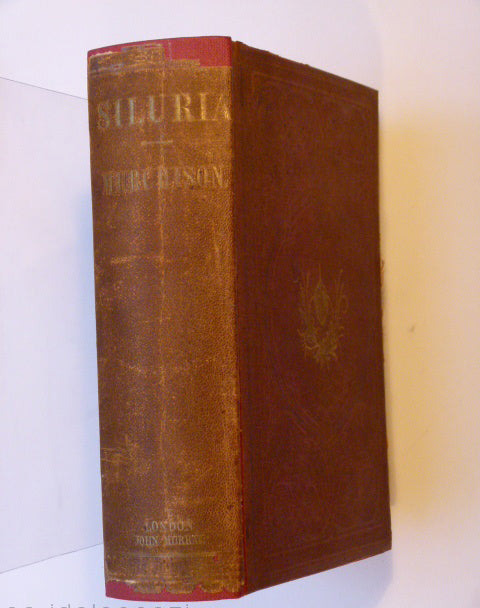
Murchison, Roderick I. 1854. Siluria. A History of the Oldest Known Rocks Containing Organic Remains. London: John Murray, 1st edition. John Murray.
Murchison, R.I. (1846). ‘On the Superficial Detritus of Sweden, and on the Probable Causes which have affected the Surface of the Rocks in the Central and Southern portions of that kingdom’, extract. Geological Society of London.
Murchison, R I. 1867*. ‘The Geological Structure of the Parish of Harting [NW Sussex]’, 13pp. in The History of Harting. published by author.
Murchison, R.I. (1859). Siluria. The History of the Oldest Fossiliferous Rocks and their Foundations; with a brief sketch of the Distribution of Gold over the Earth. John Murray.
Murchison, R.I. and Nicol, J. (1856) REPRO Geological Map of Europe. Edinburgh: Blackwood, plate 4. Reproduction 60 x 76cm. Blackwood.
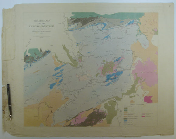
Sedgwick, A. and Murchison, R.I. (1842). ‘Geological Map of the Rhenish Countries’ from Transactions of the Geological Society,. Geological Society of London.
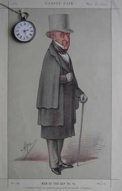
Men of the Day No.14; 'a faithful friend, and eminent Savant, and the best possible of Presidents
Nicol, James. (1863). ‘On the Geological Structure of the Southern Grampians’, extract. QJGS.
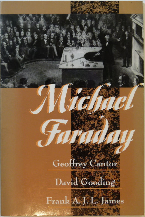
Cantor, Geoffrey, et al (1996). Michael Faraday. New Jersey: Humanities Press, 111pp. 1st American edition. Humanities Press.
Payne, John (ed.) (2017). Herefordshire’s Rocks and Scenery; a Geology of the County. Almeley: Logaston Press. Logaston Press.
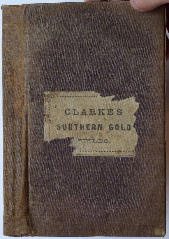
Researches in the Southern Gold Fields of New South Wales, 1860
Sheet memoir 51 and part of 52 (1930). Richey, J. E., Thomas, H.H. et al. The Geology of Ardnamurchan, North-west Mull and Coll. Memoirs Geological Survey Scotland. Edinburgh: HMSO. 1st. British Geological Survey.
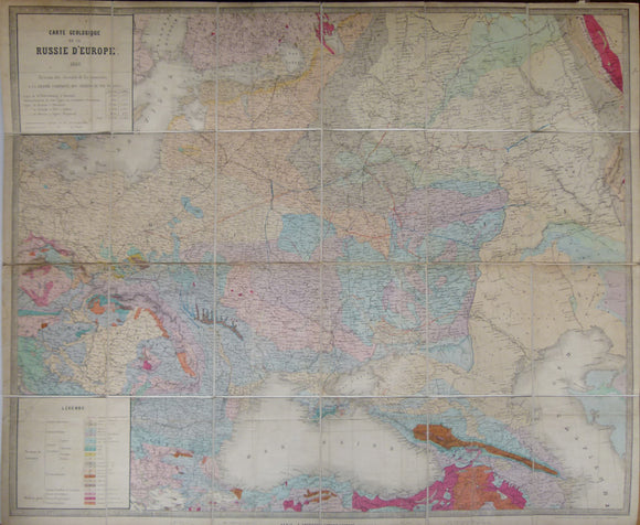
Carte Geologique de la Russie d’Europe, 1859. Approx 1:3,675,000 scale. (77 x 93.5cm) hand-coloured engraved map. Jules Guillemin.


![Murchison, R I. 1867*. ‘The Geological Structure of the Parish of Harting [NW Sussex]’, 13pp. in The History of Harting](http://geolmaps.com/cdn/shop/products/Murchison_Harting_1877_1_{width}x.JPG?v=1534782434)
![Murchison, R I. 1867*. ‘The Geological Structure of the Parish of Harting [NW Sussex]’, 13pp. in The History of Harting](http://geolmaps.com/cdn/shop/products/Murchison_Harting_1877_1_580x.JPG?v=1534782434)