Free UK postage
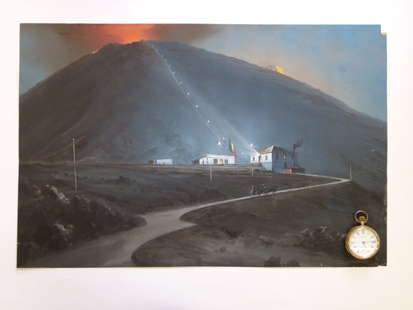
Vesuvius & funicular. 1880. Painting in body colour, 35.5 x 54cm, on cartridge paper
Victoria Reginae. (1845). LXIII. An Act [of Parliament LXIII] to facilitate the Completion of a Geological Survey of Great Britain and Ireland,. HMSO.
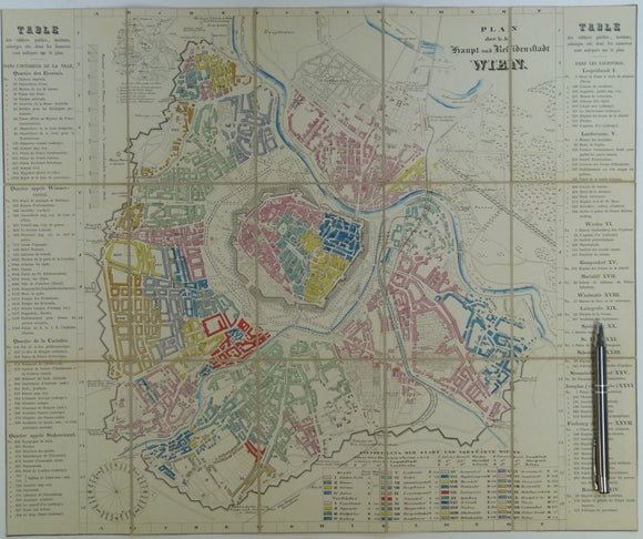
Vienna. Wien Plan der k.k. Haupt und Residenzstadt (c.1850-57). Scale approx1:17,000. Hand-coloured engraved town map 42.5 x 51cm. unknown.
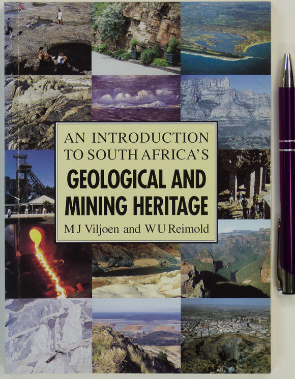
Viljoen, M.J. and Reimold, W.U. (1999). An Introduction to South Africa’s Geological and Mining Heritage. Mintek.
Visser, W.A. (ed) (1980). Geological Nomenclature. Royal Geological and Mining Society of the Netherlands. The Hague: Martinus Nijhoff. 1st edition. Royal Geol & Min Soc. of Netherlands.
Vodden, Christy (1992). No Stone Unturned; the First 150 Years of the Geological Survey of Canada. Geological Survey of Canada.
Volcanologie de la Chaine des Puys, Massif Central Francais,[Carte de]. (1975). Paris: Institute Gèographique National. Colour printed map at 1:25.000. Institute Geographique National.
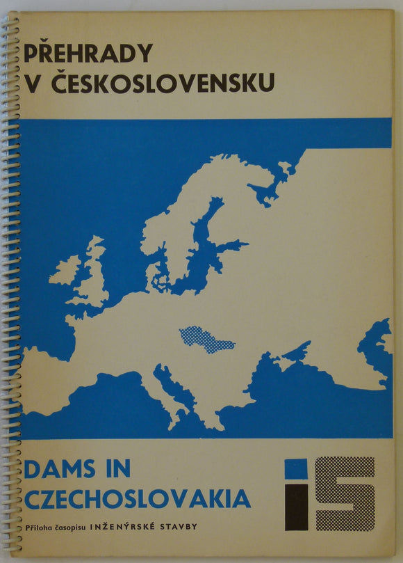
Votruba, L. 1967. Dams in Czechoslovakia / Prehrady v Ceskoslovensku. Spiral-bound report 32pp.
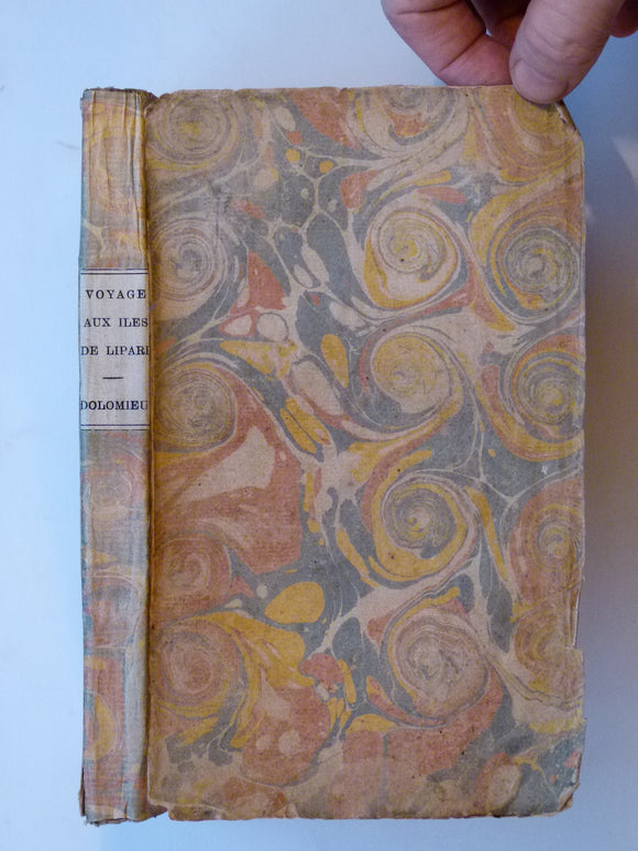
Voyages aux Iles de Lipari, fait en 1781, ou Notices sur les Iles Aeoliennes, pour server a l’Histiore des Volcans. Academie Royale des Sciences.
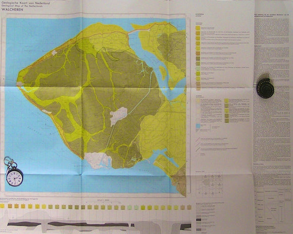
Walcheren, 1971. RGD.
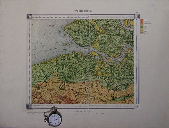
Walcheren, sheet 21. War Office (UK) GSGS 4324.
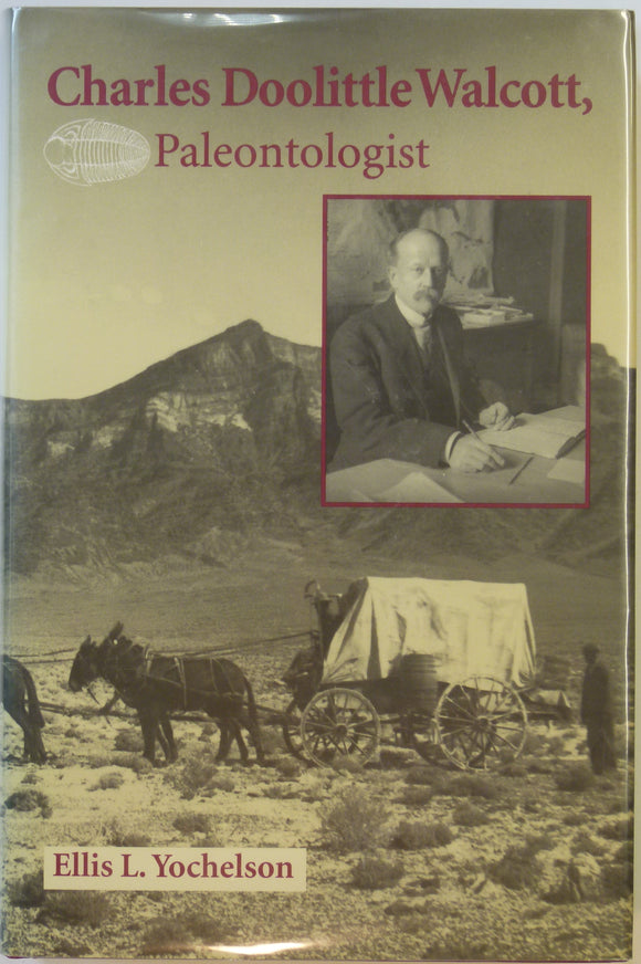
Walcott, Charles. Charles Doolittle Walcott, Paleontologist, (1998), by Ellis Yochelson. Kent State University Press.
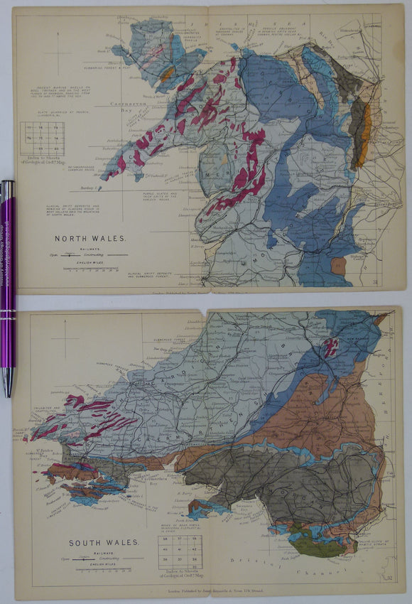
Wales (1889) geological map from Reynolds’s Geological Atlas of Great Britain, 2nd edition. Approx. 1:3,200,000. Reynolds.
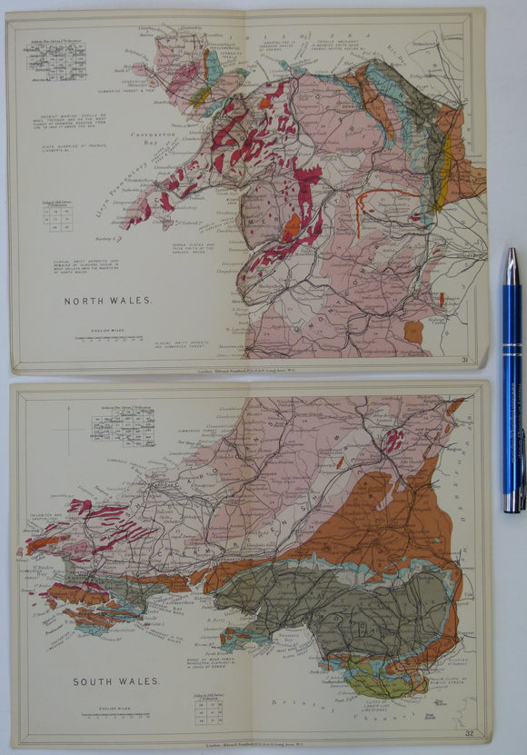
Wales (1913) geological map from Stanford’s Geological Atlas of Great Britain and Ireland, 3rd edition. Stanford's Atlas.
Wales Mid- 1906. [Geological] Map of the Ordovician Rocks of Western Caermarthenshire, colour. Geological Society of London.
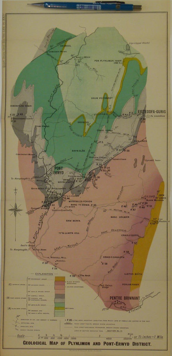
Wales Mid- 1909. Geological Map of Plynlimon and Pont-Erwyd District, colour. Geological Society of London.
Wales Mid- 1916. Map Illustrating the Geology of the District around Machynlleth and the Llyfnant Valley, colour. Geological Society of London.
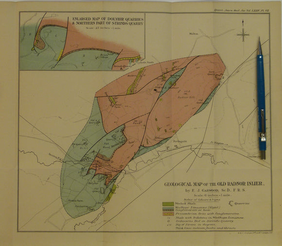
Wales Mid- 1917. Geological Map of the Old Radnor Inlier, colour printed. Geological Society of London.
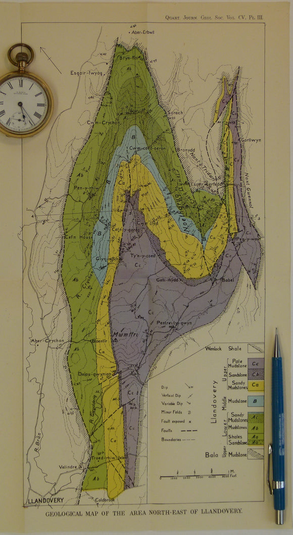
Wales Mid- 1925. Geological map of the Area South-East of Llandovery, colour. Geological Society of London.
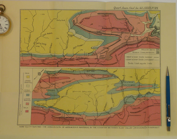
Wales Mid- 1933. Map Illustrating the Disposition of Arenaceous Material in the Country between Elan Valley (Rhayader) & Pumpsaint, colour. Geological Society of London.
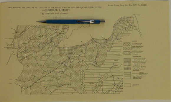
Wales Mid- 1939. Map Showing the General Distribution of the Fossil Zones n the Ordovician Rocks of the Llandrindod District, b&w. Geological Society of London.
Wales Mid- 1946. [Map of] The Complex Intrusion of Welfield, Near Builth Wells, Radnorshire, colour. Geological Society of London.
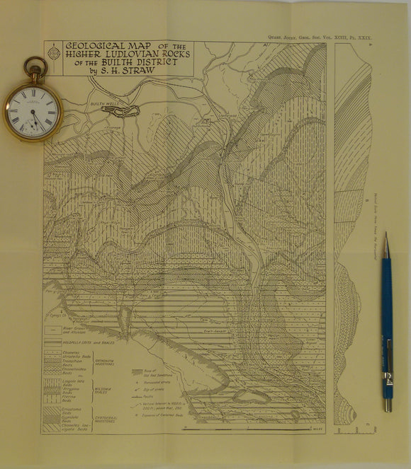
Wales Mid- 1947. Geological Map of the Higher Ludlovian rocks of the Builth District, b&w. Geological Society of London.
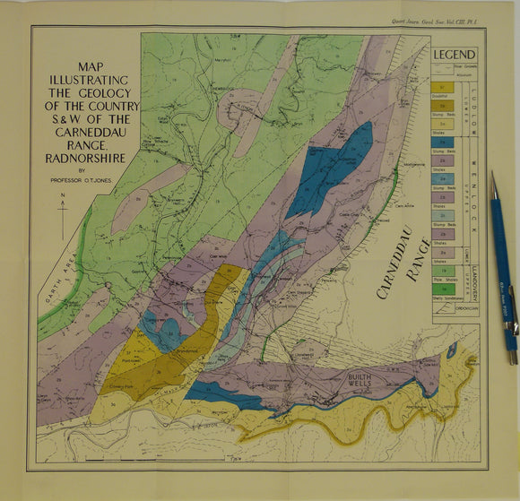
Wales Mid- 1947. Map Illustrating the Geology of the Country S.&W. of the Carneddau Range, Radnorshire, colour. Geological Society of London.

![Victoria Reginae. (1845). LXIII. An Act [of Parliament LXIII] to facilitate the Completion of a Geological Survey of Great Britain and Ireland,](http://geolmaps.com/cdn/shop/products/Museums_H.o.G_4_GSGBact_{width}x.jpg?v=1681318503)
![Victoria Reginae. (1845). LXIII. An Act [of Parliament LXIII] to facilitate the Completion of a Geological Survey of Great Britain and Ireland,](http://geolmaps.com/cdn/shop/products/Museums_H.o.G_4_GSGBact_580x.jpg?v=1681318503)




![Volcanologie de la Chaine des Puys, Massif Central Francais,[Carte de]. (1975). Paris: Institute Gèographique National. Colour printed map at 1:25.000](http://geolmaps.com/cdn/shop/files/Puyschain_1_{width}x.jpg?v=1773420269)
![Volcanologie de la Chaine des Puys, Massif Central Francais,[Carte de]. (1975). Paris: Institute Gèographique National. Colour printed map at 1:25.000](http://geolmaps.com/cdn/shop/files/Puyschain_1_580x.jpg?v=1773420269)







![Wales Mid- 1906. [Geological] Map of the Ordovician Rocks of Western Caermarthenshire, colour](http://geolmaps.com/cdn/shop/products/P1080558_{width}x.JPG?v=1547141707)
![Wales Mid- 1906. [Geological] Map of the Ordovician Rocks of Western Caermarthenshire, colour](http://geolmaps.com/cdn/shop/products/P1080558_580x.JPG?v=1547141707)






![Wales Mid- 1946. [Map of] The Complex Intrusion of Welfield, Near Builth Wells, Radnorshire, colour](http://geolmaps.com/cdn/shop/products/P1080550_{width}x.JPG?v=1547142668)
![Wales Mid- 1946. [Map of] The Complex Intrusion of Welfield, Near Builth Wells, Radnorshire, colour](http://geolmaps.com/cdn/shop/products/P1080550_580x.JPG?v=1547142668)