Free UK postage
Warwickshire 17 nw. Bedworth. Surveyed 1913, issued 1922. Geological Survey of England & Wales.
Warwickshire 17 sw. Hawkesbury. Surveyed 1914, issued 1922. Geological Survey of England & Wales.
Warwickshire 20 ne. Meriden. Surveyed 1914, issued 1922. Geological Survey of England & Wales.
Warwickshire 22 nw. Allesley. Surveyed 1913, issued 1922. Geological Survey of England & Wales.
Warwickshire 22 nw. Bentley. Surveyed 1913, issued 1922. Geological Survey of England & Wales.
Warwickshire 5 se. Kingsbury. Surveyed 1940, issued 1948. Geological Survey of England & Wales.
Warwickshire 6 sw. Merevale. Surveyed 1911, issued 1923. Geological Survey of England & Wales.
Warwickshire 9 se. Shustoke. Surveyed 1913, issued 1922. Geological Survey of England & Wales.
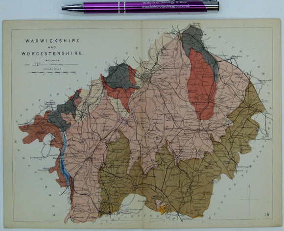
Warwickshire and Worcestershire (1864) counties geological map from Reynolds’s Geological Atlas of Great Britain, 1st. Reynolds.
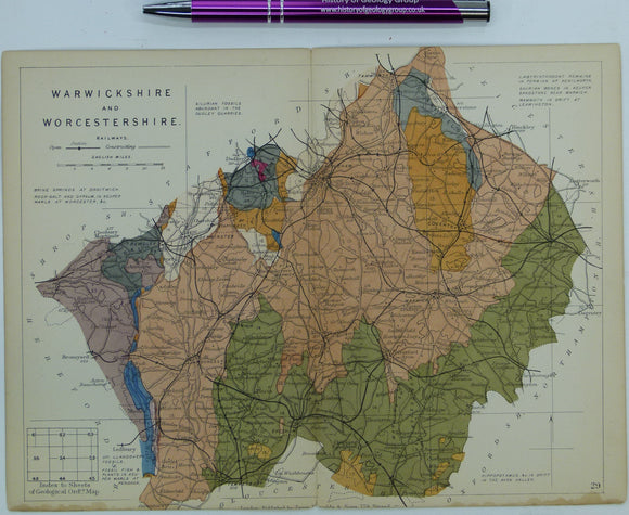
Warwickshire and Worcestershire (1889) counties geological map from Reynolds’s Geological Atlas of Great Britain, 2nd. Reynolds.
Watson, Janet. (1963). ‘Some Problems Concerning the Evolution of the Caledonides of the Scottish Highlands’, offprint of the Proceedings. Geologists' Association.
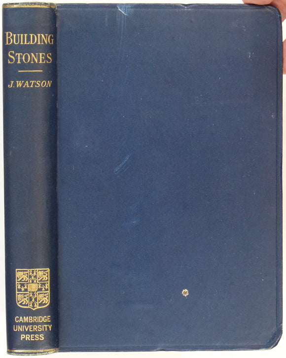
Watson, John (1911). British and Foreign Building Stones. A Descriptive Catalogue of the Specimens in the Sedgwick Museum, Cambridge. Cambridge University Press, 483pp. 1st. Cambridge University Press.
Watson, White, (1973). The Strata of Derbyshire (1811). Buxton: Moorland Reprints. 77pp. + 16pp introduction by Trevor D. Ford. Moorland Reprints.
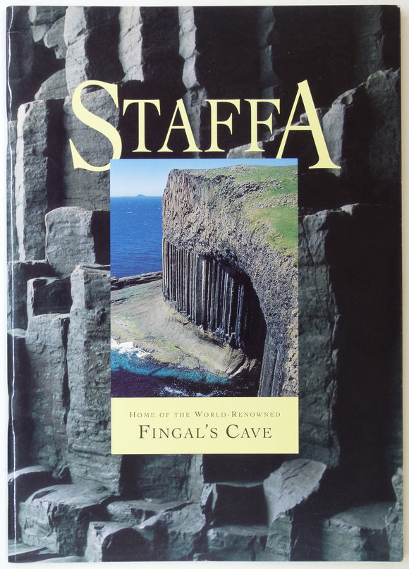
Watteville, A. de. (1993). Staffa: Home of the World Renowned Fingal’s Cave. Romsey Fine Art, Romsey. 22pp. Romsey Fine Art.
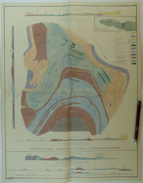
Weaver, Thomas (1824). ‘Geological Map and Sections of the Environs of Tortworth, Glocester (sic)’, from the Transactions of the Geological Society,. Geological Society of London.
Webb, BC, et al.(1993). Moffatdale and upper Ettrick Valley. London: British Geological Survey, 1st edition, 58pp. British Geological Survey.
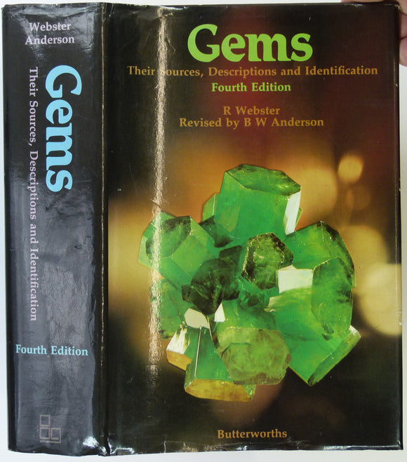
Webster, R. (1962). Gems; Their Sources, Descriptions and Identification. London: Butterworths. Butterworth.
Weibel, M (1966). A Guide to the Minerals of Switzerland. London: John Wiley, 123 + xi pp. 24 colour plates. Hardback,. John Wiley.
Wells, George A. (1978). Goethe and the Development of Science; 1750-1900. Science in History [series] No.5. Sijthoff and Noordhoff.
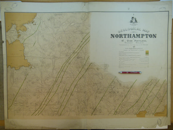
Western Australia, Geological Map of Northampton, 1898. By Gov’t geologist, A.Gibb Maitland. 1:15,840. Geological Survey of Western Australia.
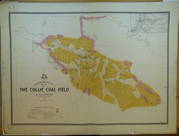
Western Australia, Geological Map of the Collie Coal Field, 1898. By Gov’t geologist, A.Gibb Maitland. 1:31,680. Geological Survey of Western Australia.
Wetherell, Nathaniel Charles (1838) ‘Observations on a Well dug on the South Side of Hampstead Heath [London]’,. Geological Society of London.
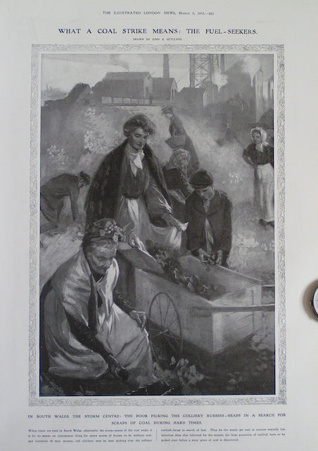
What a Coal Strike Means: the Fuel-Seekers
Whitaker, B. A. & Edwards, M. A. 1926, Dorset, Water Supply Memoir. 1st edition. Geological Survey of England & Wales.











![Wells, George A. (1978). Goethe and the Development of Science; 1750-1900. Science in History [series] No.5.](http://geolmaps.com/cdn/shop/files/HoG_13_Goethe_{width}x.jpg?v=1737815515)
![Wells, George A. (1978). Goethe and the Development of Science; 1750-1900. Science in History [series] No.5.](http://geolmaps.com/cdn/shop/files/HoG_13_Goethe_580x.jpg?v=1737815515)


![Wetherell, Nathaniel Charles (1838) ‘Observations on a Well dug on the South Side of Hampstead Heath [London]’,](http://geolmaps.com/cdn/shop/products/HampsteadwellWetherell_1_{width}x.jpg?v=1612437996)
![Wetherell, Nathaniel Charles (1838) ‘Observations on a Well dug on the South Side of Hampstead Heath [London]’,](http://geolmaps.com/cdn/shop/products/HampsteadwellWetherell_1_580x.jpg?v=1612437996)