Free UK postage
Yorkshire 283 nw. Wombwell. Surveyed 1932, issued 1946. Geological Survey of England & Wales.
Yorkshire 283 se. Rawmarsh. Surveyed 1932, issued 1942. Geological Survey of England & Wales.
Yorkshire 283 se. Rawmarsh. Surveyed 1932, issued 1946. Geological Survey of England & Wales.
Yorkshire 283 sw. Wentworth. Surveyed 1933, issued 1937. Geological Survey of England & Wales.
Yorkshire 283 sw. Wentworth. Surveyed 1933, issued 1949. Geological Survey of England & Wales.
Yorkshire 284 nw. Mexborough. Surveyed 1929, issued 1934. Geological Survey of England & Wales.
Yorkshire 288 nw. Wharncliffe Wood. Surveyed 1933, issued 1937. Geological Survey of England & Wales.
Yorkshire 288 se. Sheffield. Surveyed 1950, issued 1956. Geological Survey of England & Wales.
Yorkshire 289 ne. Rawmarsh. Surveyed 1931, issued 1936. Geological Survey of England & Wales.
Yorkshire 289 nw. Greasborough. Surveyed 1933, issued 1937. Geological Survey of England & Wales.
Yorkshire 289 se. Rotherham. Surveyed 1951, issued 1957. Geological Survey of England & Wales.
Yorkshire 289 sw. Rotherham. Surveyed 1950, issued 1956. Geological Survey of England & Wales.
Yorkshire 290 sw. Bramley. Surveyed 1951, issued 1955. Geological Survey of England & Wales.
Yorkshire 294 ne. Sheffield. Surveyed 1949, issued 1956. Geological Survey of England & Wales.
Yorkshire 294 se. Sheffield. Surveyed 1949, issued 1956. Geological Survey of England & Wales.
Yorkshire 294 sw. Sheffield, west. Surveyed 1950, issued 1956. Geological Survey of England & Wales.
Yorkshire 295 ne. Treeton. Surveyed 1951, issued 1957. Geological Survey of England & Wales.
Yorkshire 295 nw. Sheffield, east. Surveyed 1951, issued 1956. Geological Survey of England & Wales.
Yorkshire 295 se. Aston. Surveyed 1951, issued 1955. Geological Survey of England & Wales.
Yorkshire 295 sw and part Derbyshire 12. Sheffield. Surveyed 1950, issued 1957. Geological Survey of England & Wales.
Yorkshire 297 ne. Woolley Park. Surveyed 1933, issued 1939. Geological Survey of England & Wales.
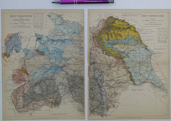
Yorkshire and Lancashire (1889) counties geological map from Reynolds’s Geological Atlas of Great Britain, 2nd. Reynolds.
Yorkshire Rocks and Landscape; a Field Guide, Yorkshire Geological Society. Scruton, Colin (ed).
Yorkshire, Sheet 101 6", 1900/1901. Yorks, Grewelthorpe, 27.5 x 40 - Colour wash on topographical map, Four sheets joined., Good. Geological Survey of England & Wales.