Free UK postage
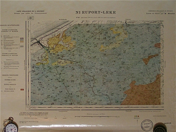
Nieuport-Leke, sheet 36. War Office (UK) GSGS 4325.
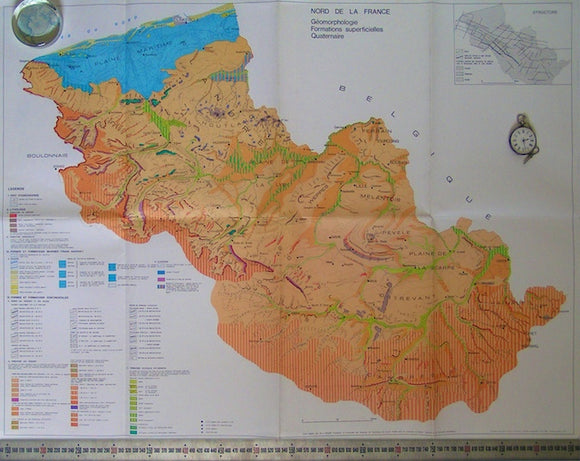
Nord de la France; Geomorphologie, Formations Superficielles Quaternaire, 1980. Sommé, A, 1980.
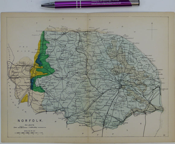
Norfolk (1864) county geological map from Reynolds’s Geological Atlas of Great Britain, 1st edition. Reynolds.
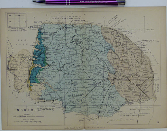
Norfolk (1889) county geological map from Reynolds’s Geological Atlas of Great Britain, 2nd edition. Reynolds.
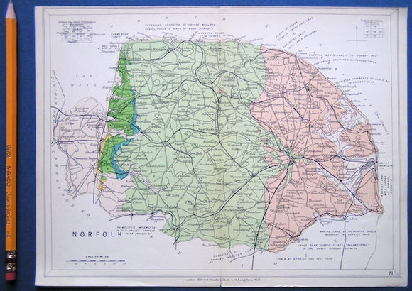
Norfolk. By Whitaker, W. 1921, 1st edition. 185pp. Geological Survey of England & Wales.
NorfolkNorfolk (1913) county geological map from Stanford’s Geological Atlas of Great Britain and Ireland, 3rd edition. Stanford's and Reynolds' Atlases.
North, F. J. (1928). Geological Maps, their History and Development with Special Reference to Wales. Cardiff:. National Museum of Wales.
North, F.J, (1929). The Evolution of the Bristol Channel with Special Reference to the Coast of South Wales. Cardiff: University of Wales. University of Wales Press.
North, F.J. (1956). ‘The Geological History of Brecknock [Mid Wales]’ Reprint from Brycheiniog. v.1, National Museum of Wales,. National Museum of Wales.
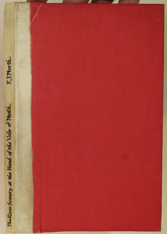
North, FJ. 1962. The River Scenery at the Head of the Vale of Neath. Cardiff: National Museum of Wales,. National Museum of Wales.
North-West Iceland and West-Central Icelan (1969). Sheets 1 and 2 of the Geological Map of Iceland. Reykjavik: Icelandic Survey Department. 1:250,000. Iceland Survey Dept.
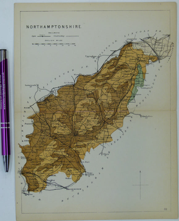
Northamptonshire (1864) county geological map from Reynolds’s Geological Atlas of Great Britain, 1st edition. Reynolds.
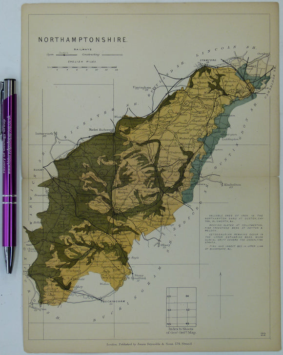
Northamptonshire (1889) county geological map from Reynolds’s Geological Atlas of Great Britain, 2nd edition. Reynolds.
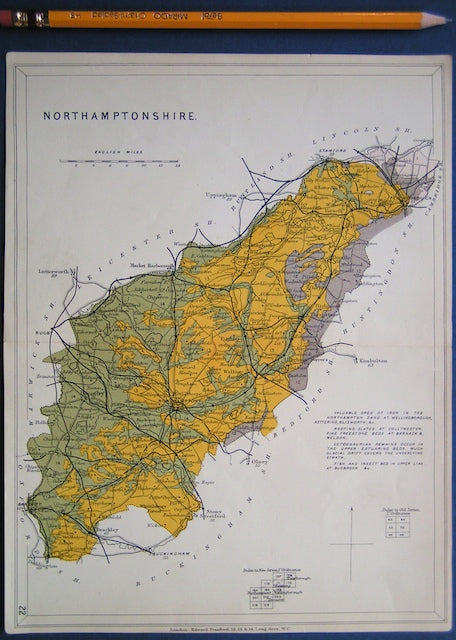
Northamptonshire (1913) county geological map from Stanford’s Geological Atlas of Great Britain and Ireland, 3rd edition. Stanford's and Reynolds' Atlases.
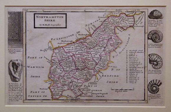
Northamptonshire, 1724. Herman Moll.
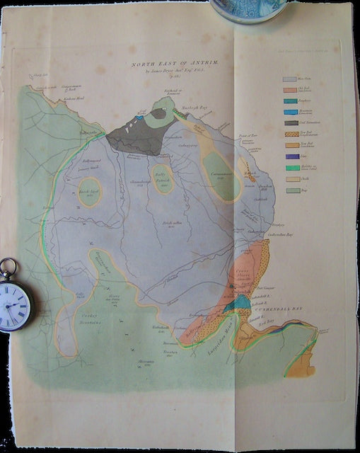
Northeast of Antrim. Bryce, James.
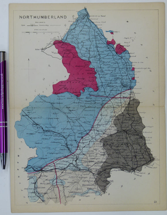
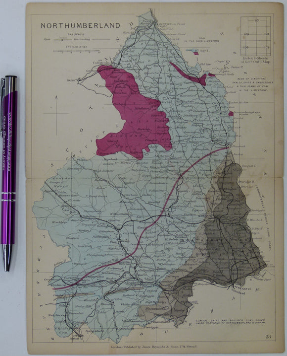
Northumberland (1864) county geological map from Reynolds’s Geological Atlas of Great Britain, 1st edition. Reynolds.
Northumberland (1889) county geological map from Reynolds’s Geological Atlas of Great Britain, 2nd edition. Reynolds.
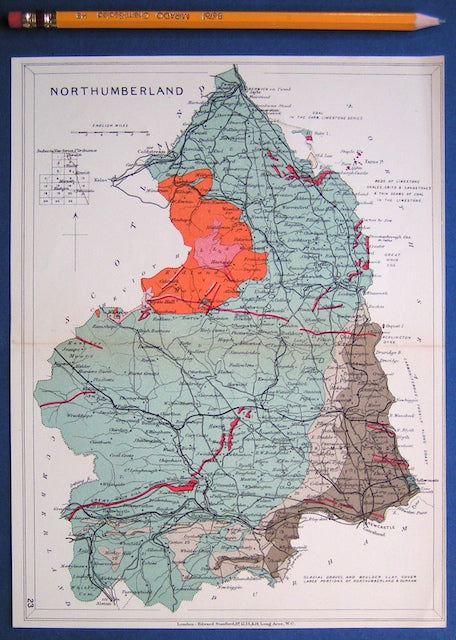
Northumberland (1913) county geological map from Stanford’s Geological Atlas of Great Britain and Ireland, 3rd edition. Stanford's and Reynolds' Atlases.
Northumberland 13sw, 6". Greenhead, Gilsland, 1926/1929. Geological Survey of England & Wales.
Northumberland 19nw, 6". Hartleyburn Common, 1901/1928. Geological Survey of England & Wales.
Northwest Belgium. Belgian Geological Survey.
Nottinghamshire (1889) county geological map from Reynolds’s Geological Atlas of Great Britain, 2nd edition. Reynolds.
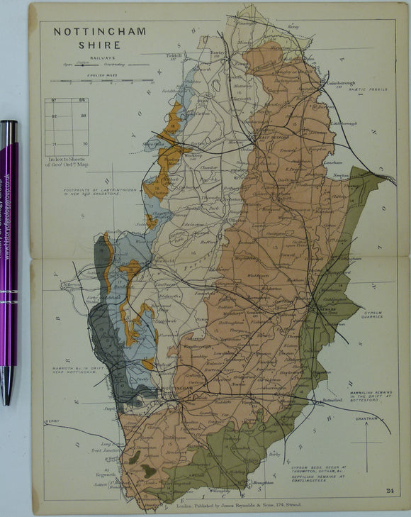
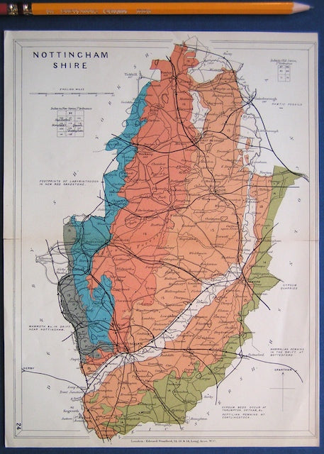
Nottinghamshire (1913) county geological map from Stanford’s Geological Atlas of Great Britain and Ireland, 3rd edition. Stanford's and Reynolds' Atlases.


![North, F.J. (1956). ‘The Geological History of Brecknock [Mid Wales]’ Reprint from Brycheiniog. v.1, National Museum of Wales,](http://geolmaps.com/cdn/shop/products/Brecknock-North_1_{width}x.jpg?v=1617721891)
![North, F.J. (1956). ‘The Geological History of Brecknock [Mid Wales]’ Reprint from Brycheiniog. v.1, National Museum of Wales,](http://geolmaps.com/cdn/shop/products/Brecknock-North_1_580x.jpg?v=1617721891)