Free UK postage
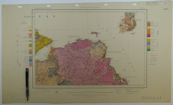
Quarter inch sheet 2. Untitled – Antrim & North Channel, (1952). Revision. Colour print, flat, 42 x 71cm. Scale 1:253,440. Geological Survey of N. Ireland.
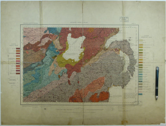
Quarter inch sheet 5. Untitled – Lough Neagh, Counties Down, Armagh, Monaghan, (c1913). First edition. Base map 1921. Geological Survey of N. Ireland.
Ramsay, A.C. (1862). ‘On the Glacial Origin of certain Lakes in Switzerland, the Black Forest, Great Britain, Sweden, North America, and elsewhere’ extract from the QJGS. Geological Society of London.
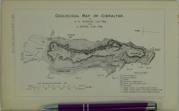
Ramsay, Andrew C., and Geikie, James (1878). Geological Map of Gibraltar, in ‘On the Geology of Gibraltar’, extract from the Quarterly Journal of the Geological Society, v34,. Geological Society of London.
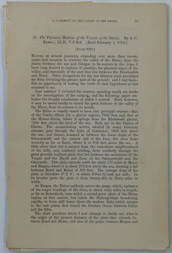
Ramsey, A.C, (1874). ‘the Physical History of the Valley of the Rhine’, extract from Transactions of the Geological Society. v.30, pp 81-95. Geological Society of London.
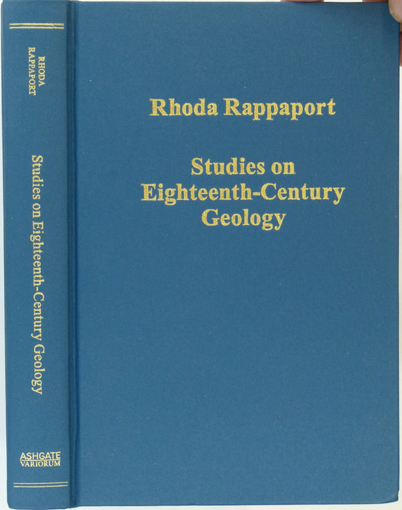
Rappaport, Rhoda (2011). Studies on Eighteenth-Century Geology. Farnham: Ashgate,. Ashgate.
Rasmussen, J. and Noe-Nygaard, A.(1970). Geology of the Faeroe Islands (pre-Quaternary). Geological Survey of Denmark. Geological Survey of Denmark.
Rawdon, P.F. & Wright, J.K. (1992). The Yorkshire Coast: Guide No.34. Geologists’ Association, second edition. Geologists' Association.
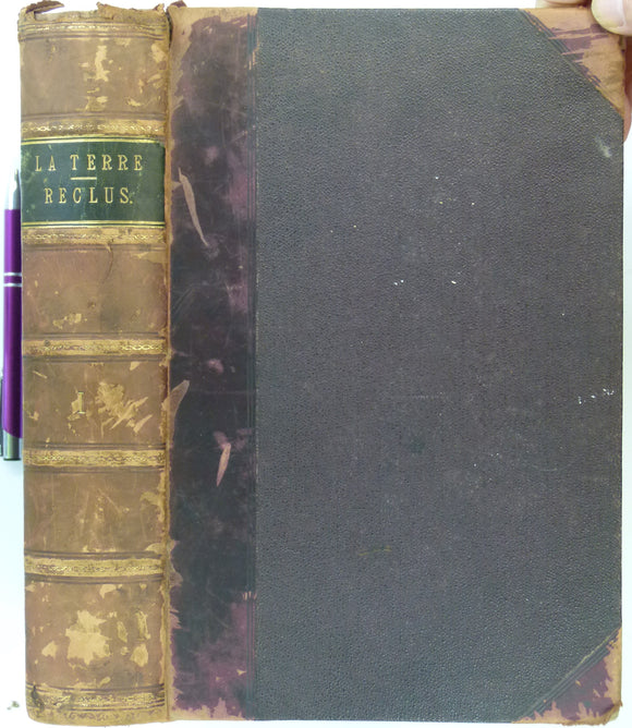
Reclus, Élisée (1870). La Terre, Description des Phènomènes de la Vie du Globe; tome 1, Les Continents. Paris: Hachette, 2nd edition. 775pp. (1st in 1868), volume 1 only of 2. Librarie Hachette.
Reed, H.H. and Farquahar, O.C. (1952). ‘The Geology of the Arnage District (Aberdeenshire); a Re-interpretation’, offprint of the QJGS. Geological Society of London.
Reed, JC Cowper,, (1897). A Handbook to the Geology of Cambridgeshire. Cambridge University Press. First edition. Cambridge University Press.
Reid, Clement. (1890). The Pliocene Deposits of Britain, vol.3 The Upper Chalk. Memoir of the Geological Survey of the United Kingdom. London:. British Geological Survey.
Renfrewshire, 13 (1870)1:10,560 scale OS basemap 1863. Covers Pollockshaws, Cathcart and Thornliebank. Colour washed engraving,. British Geological Survey.
Renfrewshire, 14 and 15 (1874)1:10,560 scale OS basemap 1863. Cover Meikle Millbank and Loch Winnoch. Colour washed engravings. British Geological Survey.
Renfrewshire, 16 and 17 (1870)1:10,560 scale OS basemap 1863. Covers Nelston, New Mearns and Eaglesham. Colour washed engravings. British Geological Survey.
Repcheck, James (2003).The Man who found Time; James Hutton and the Discovery of the Earth’s Antiquity,. Simon and Schuster.
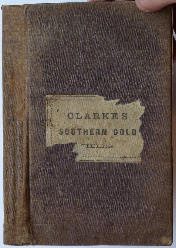
Researches in the Southern Gold Fields of New South Wales, 1860
Richardson, G.F. (1846). Geology for Beginners. London: Henry Bohn, 2nd edition, xvi + 624 pp. Hardback deluxe copy
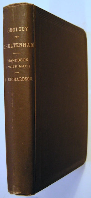
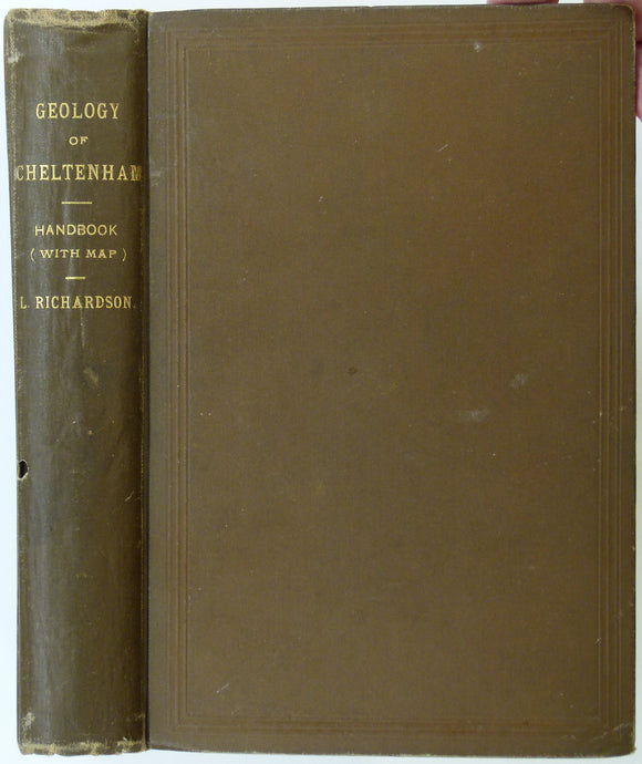
Richardson, L., (1904). A Handbook of the Geology of Cheltenham and Neighbourhood. Cheltenham: Norman, Sawyer & Co. 303pp. Norman, Sawyer & co.
Richardson, L., (1904). A Handbook of the Geology of Cheltenham and Neighbourhood. Cheltenham: Norman, Sawyer & Co. 303pp. HB,. Norman, Sawyer & co.
Richardson, L., (1904, facsimile 1972). A Handbook of the Geology of Cheltenham and Neighbourhood. Chichley: Minet. Minet.
Richey, J.E. (1932). ‘Summary of the Geology of Ardnamurchan’. Extract from the Proceedings of the Geologists’ Association,. Geologists' Association.
Richey, J.E. (1934~). Guide to the Geological Model of Ardnamurchan. Edinburgh: HMSO for Geological Survey and Museum,. British Geological Survey.
Richey, J.E. (1939). ‘The Dykes of Scotland’, offprint of the Transactions of the Edinburgh Geological Society, v.13,. Edinburgh Geological Society.