Free UK postage
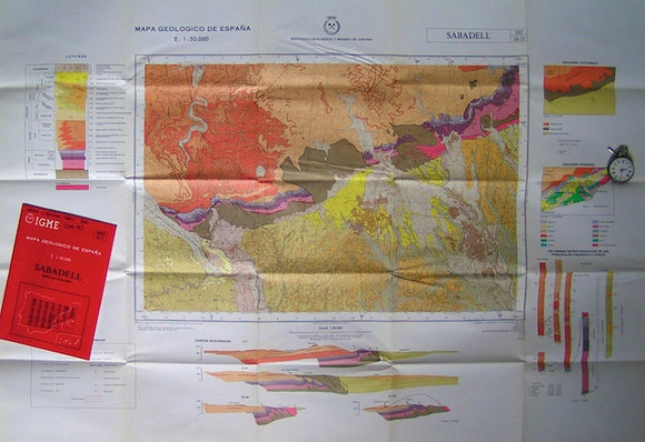
Sabadell – sheet 392, Mapa Geologico de Espana, 1975. IGME.
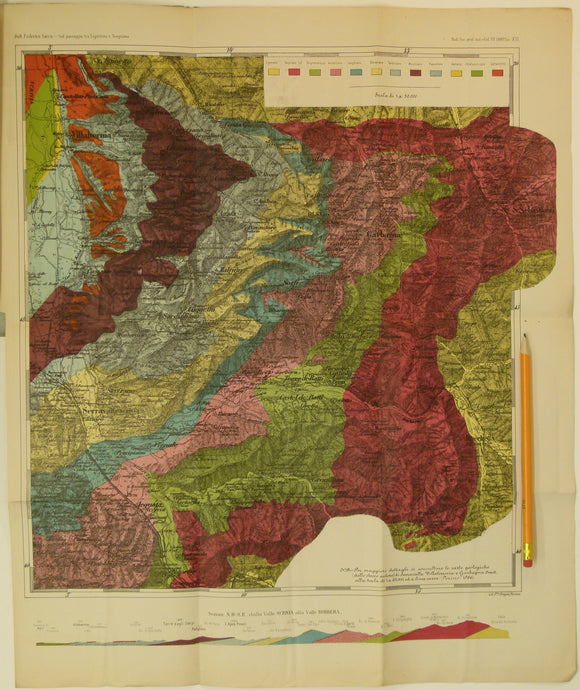
Sacco, Frederico, 1888. Untitled geological map of Villalvernia area (approx. 60km N of Genoa) in Liguria. Colour printed folded map
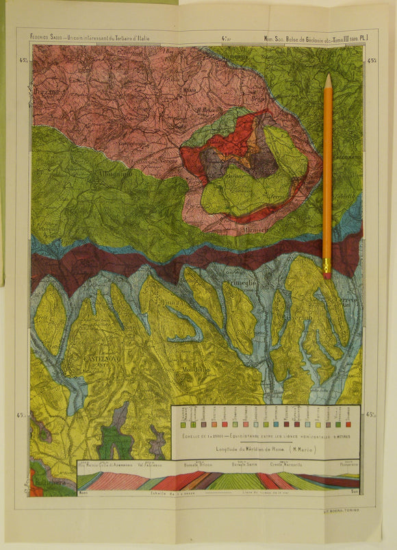
Sacco, Frederico, 1889. Untitled geological map of Castelnovo d’Asti (now Castelnuovo don Bosco) area (approx. 20km E of Turin)
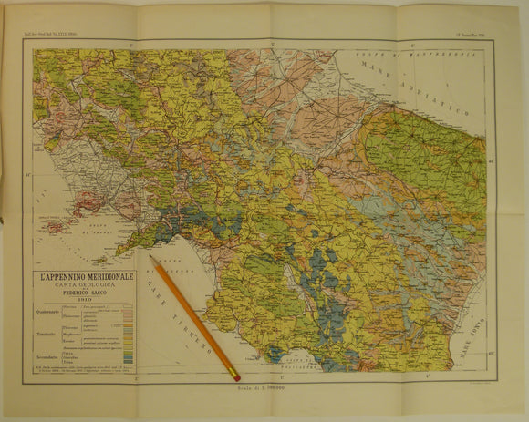
Sacco, Frederico, 1910. L’Appennino Meridionale Carta Geologica with ‘L’Appennino Meridionale; Studio geologico sintetico’, colour
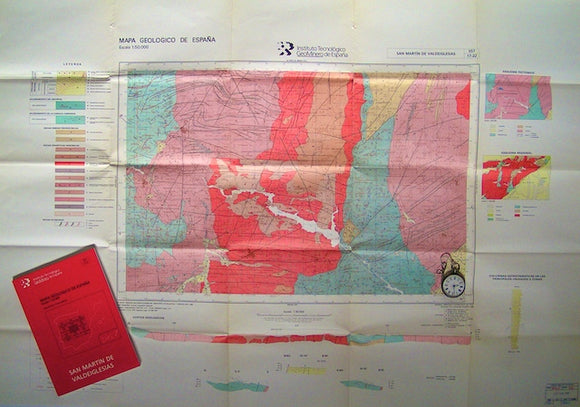
San Martin de Valdeiglesias – sheet 557, Mapa Geologico de Espana, 1972. IGME.
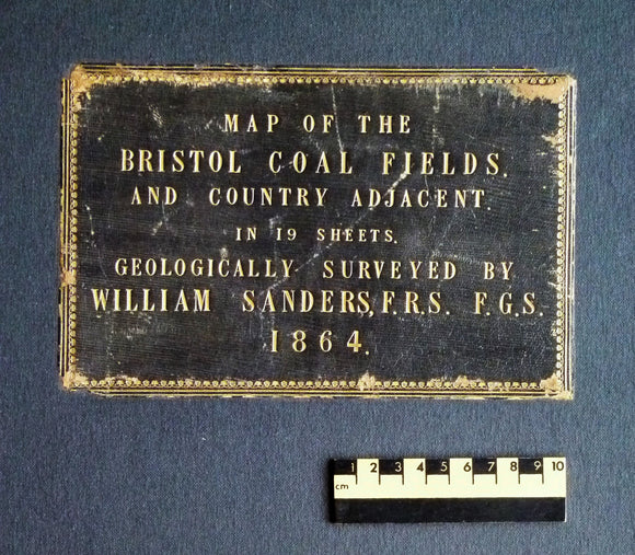
Sanders, William (1864). Map of the Bristol Coal Field and Country Adjacent in 19 Sheets, Geologically Surveyed. Hardback atlas, Rare. self published.
Sandhurst Gold Field [Victoria] (1878). Ministry of Mines. 1:31,680 scale. Colour lithograph, 63 x 88 cm, originally named Bendigo. Victoria Ministry of Mines.
Sarton, George, (1936). The Study of the History of Science. Cambridge, Mass.: Harvard University Press, 1st edn. 75pp. Harvard University.
Scarth, Alwyn. (2009). Vesuvius; a Biography. Harpenden: Terra Publishing, 1st edition. 342pp. HB. Terra.
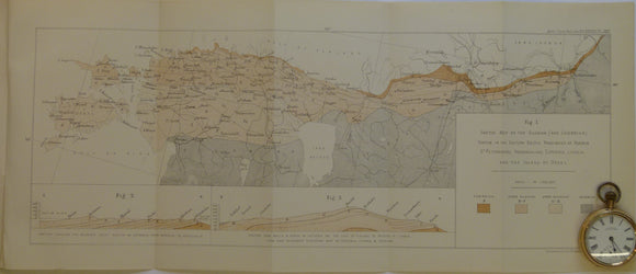
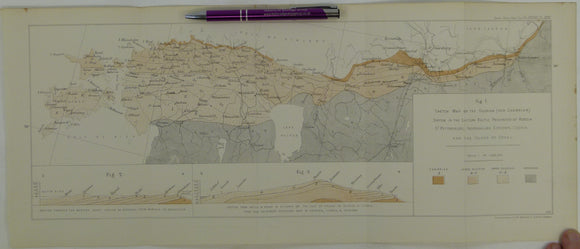
Schmidt, F. (1882). 'Sketch Map of the Silurian (and Cambrian) System in the Eastern Baltic Provinces of Russia. Geological Society of London.
Schmidt, F. (1882). 'Sketch Map of the Silurian (and Cambrian) System in the Eastern Baltic Provinces of Russia –. Geological Society of London.
Schneer, Cecil J. (ed) (1969). Toward a History of Geology. Cambridge, Mass,: M.I.T. Press, 469pp. Hardback. M.I.T. Press.
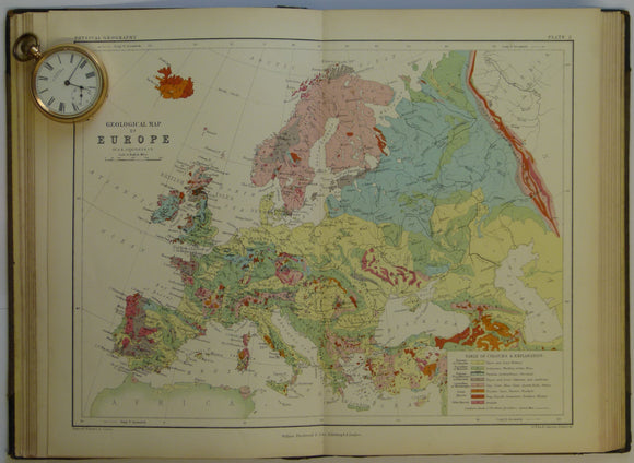
School Atlas of Physical Geography, 1861, early world geological map. AK Johnston.
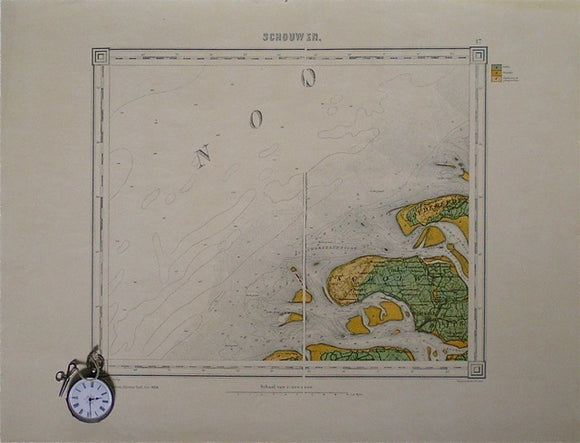
Schouwen, sheet 17. War Office (UK) GSGS 4324.
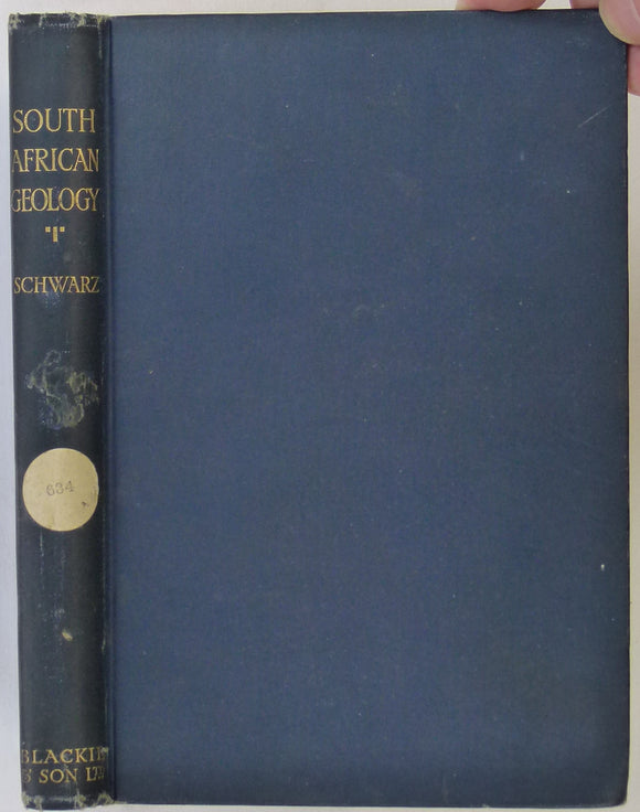
Schwarz, EHL. (1928). South African Geology. London & Glasgow: Blackie & Son, 1st edition. 200pp. HB. Blackie & Son.
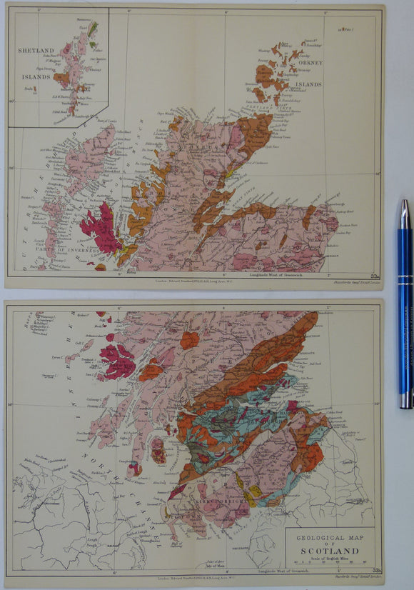
Scotland (1913) geological map from Stanford’s Geological Atlas of Great Britain and Ireland, 3rd edition. Stanford's and Reynolds' Atlases.
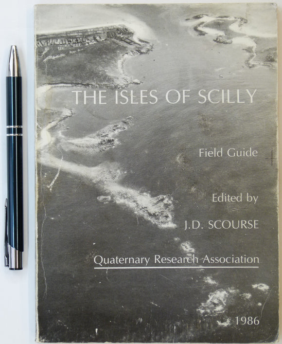
Scourse, J.D., (1986). The Isles of Scilly: Field Guide. Quaternary Research Association. 151pp. Quaternary Research Association.
Scrope, George Poulett, (1859), ‘On the Mode of Formation of Volcanic Cones and Craters’ extract from the QJGS. Geological Society of London.
Secord, James A. (2014). Visions of Science; Books and Readers at the Dawn of the Victorian Age. Oxford University Press. 306pp. 1st edition. Oxford University Press.
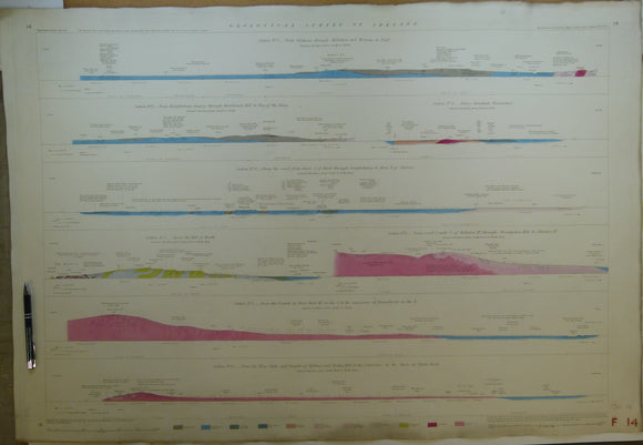
Section No. 10 (1861). Six sections covering Slieverdagh Coalfield, Earl’s Hill Colliery, Boulea Collieries, Johnstown, Hollyford Mines, Marlow. Illustrates one inch maps 136, 145, 148 & 156. Geological Survey of Ireland.
Section No. 11 (1862). Four sections covering the Devil’s Bit Mountains, the Sleivebloom Range, Knockshigowna Hill. Illustrates one inch maps 126, 127 & 135. Hand-coloured. Geological Survey of Ireland.
Section No. 12 (1862). Five sections covering Slievenaman, Mt Argula, Freagh & Brandon Hills to Coolhill Castle, Coal Measures at Moneyfelim R., to Old Red Sst. near Goresbridge. Illustrates maps 147, 156 & 157. Hand-coloured. Geological Survey of Ireland.
Section No. 13 (1862). 2 Two sections covering Comeragh Mtns, Suir R. to Poulakerry, 2. Boolyglass, over Brandon Hill to R Barrow, near Graiguenamanagh. Illustrates maps 156, 157, 167 & 178. Hand-coloured. Geological Survey of Ireland.
Section No. 14 (1862). Eight short sections in Dublin area from Hill of Howth to Blackrock. Illustrates one inch maps 102 & 112. Hand-coloured. Geological Survey of Ireland.


![Sandhurst Gold Field [Victoria] (1878). Ministry of Mines. 1:31,680 scale. Colour lithograph, 63 x 88 cm, originally named Bendigo](http://geolmaps.com/cdn/shop/files/SandhurstAus_1_{width}x.jpg?v=1781694256)
![Sandhurst Gold Field [Victoria] (1878). Ministry of Mines. 1:31,680 scale. Colour lithograph, 63 x 88 cm, originally named Bendigo](http://geolmaps.com/cdn/shop/files/SandhurstAus_1_580x.jpg?v=1781694256)