Free UK postage
Section No. 15 (1862). Three sections covering Sybil & Slea Heads, Mt Brandon, Tralee Bay, Caherconree Mtn to Castlemaine Hbr. Illustrates maps 160, 161, 171 & 172. Hand-coloured. Geological Survey of Ireland.
Section No. 16 (1862). continuous section from Knockadoon Head by Youghal over the Knockmealdown Mtns to Galty Mtns. Illustrates one inch maps 156, 166, 177 & 188. Hand-coloured. Geological Survey of Ireland.
Section No. 17 (1864). Four Sections in Galway Bay region. Illustrates one inch maps 114, 123, 124 & 125. Hand-coloured. Geological Survey of Ireland.
Section No. 18 (1864). Three sections covering Scarriff, over Slieve Aughta to Dunsandle, Cashlaundramlahan to Toberdatan, Marble Hill to Dalystown. Illustrates maps 115, 116, & 124. Hand-coloured. Geological Survey of Ireland.
Section No. 19 (1866). Continuous section from Toe Head, by Bantry to Gilgarvan. Illustrates maps 184, 192, 200 & 205. Hand-coloured. Geological Survey of Ireland.
Section No. 20 (1865). Continuous section across Kenmare Valley, Macgillycuddy’d Reeks, and Slievemish Mtns near Tralee. Illustrates maps 162, 173 & 184. Geological Survey of Ireland.
Section No. 3 (1860). Covers Maryborough, Castlecomer Coalfield, Barrow valley, Bagnalstown. Hand-coloured engraving, iIllustrates maps 127, 128, 137 & 147. Geological Survey of Ireland.
Section No. 32 (1892). Continuous section across Kenmare Valley, Macgillycuddy’d Reeks, and Slievemish Mtns near Tralee. Illustrates maps 162, 173 & 184. Hand-coloured. Geological Survey of Ireland.
Section No. 9 (1861). Five sections covering Silvermines, Arra Mountains, Cratloe Mountains, Slieve Bernagh, Ennis. Hand-coloured engraving. Illustrates maps 132, 133, & 134. Geological Survey of Ireland.
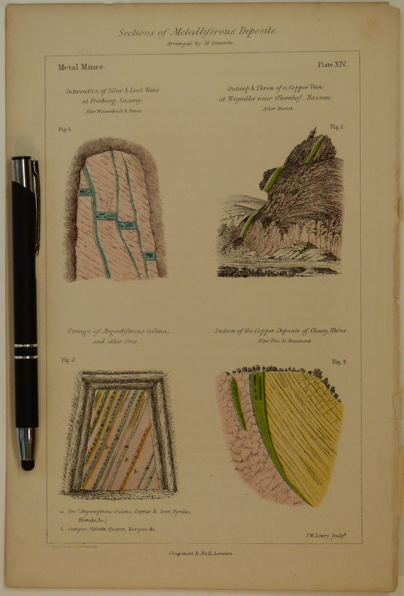
Sections of Metalliferous Deposits; Metal Mines, 1869, Plate 14, from Mines and Miners; or, Underground Life by L. Simonin
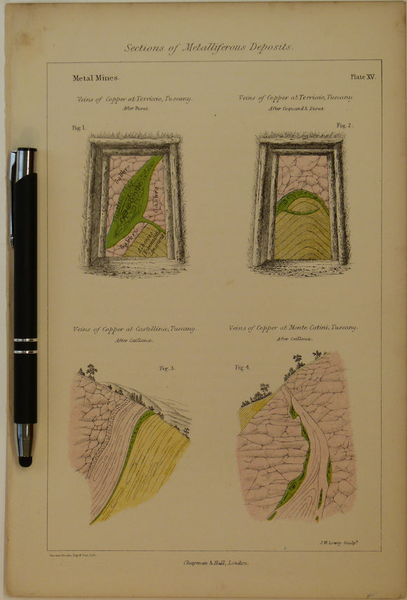
Sections of Metalliferous Deposits; Metal Mines, 1869, Plate 15, from Mines and Miners; or, Underground Life by L. Simonin
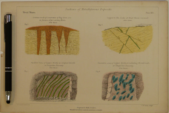
Sections of Metalliferous Deposits; Metal Mines, 1869, Plate 16, from Mines and Miners; or, Underground Life by L. Simonin
Sections of Mineral Veins or Lodes; Metal Mines [Spain], 1869, Plate 12, from Mines and Miners; or, Underground Life by L. Simonin
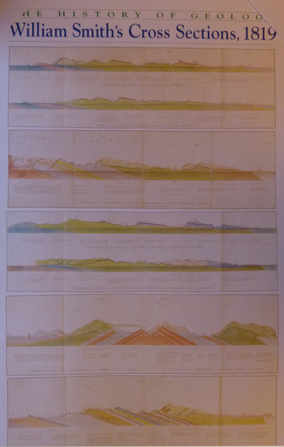
sections, The History of Geology, William Smith’s Cross Sections, 1819. Reproduction. Smith, William.
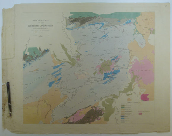
Sedgwick, A. and Murchison, R.I. (1842). ‘Geological Map of the Rhenish Countries’ from Transactions of the Geological Society,. Geological Society of London.
Sedgwick, Adam (1845), Geological Map of North Wales to accompany ‘On the Older Palaeozoic (Protozoic) Rocks of North Wales’, extract from QJGS. Geological Society of London.
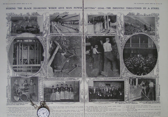
Seeking the Black Diamonds which give Man the Power 'Getting' Coal: The Industry threatened by a Strike
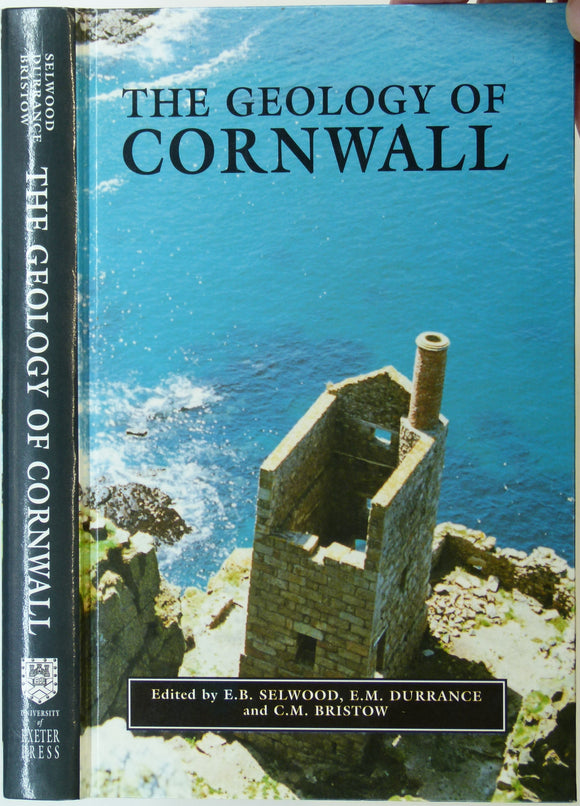
Selwood, E.B. et al (eds), 1998. The Geology of Cornwall and the Isles of Scilly. U. of Exeter Press. 298pp. university of exeter.
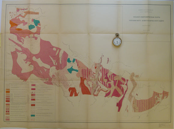
Semenchenko, H.I. 1963. Ukraine. Tectonic Map of Area between the Dneiper and Deneister Rivers. 1:1,000,000
Sénégal. 1906). Carte Géologique de la Presqu’ile du Cap Vert [et Dakar]. Paris: Service Geologique a l’Inspection A.O.F. Service Geologique d'A.O.F..
Sevilla – sheet 984, Mapa Geologico de Espana, 1975. IGME.
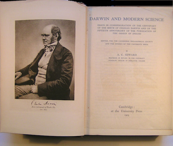
Seward, A.C. (ed)(1909). Darwin and Modern Science; Essays in Commemoration of the Centenary of the Birth of Charles Darwin. Cambridge University Press.
Shackleton, E.H. (1973). Lakeland Geology; Where to go: What to see. Clapham: Dalesman Books. Second edition. Dalesman Books.
Shackleton, R.M. (1958). ‘Downward-Facing Structures of the Highland Border’, offprint of the QJGS. Geological Society of London.


![Sections of Mineral Veins or Lodes; Metal Mines [Spain], 1869, Plate 12, from Mines and Miners; or, Underground Life by L. Simonin](http://geolmaps.com/cdn/shop/products/P1080659_{width}x.JPG?v=1551271477)
![Sections of Mineral Veins or Lodes; Metal Mines [Spain], 1869, Plate 12, from Mines and Miners; or, Underground Life by L. Simonin](http://geolmaps.com/cdn/shop/products/P1080659_580x.JPG?v=1551271477)


![Sénégal. 1906). Carte Géologique de la Presqu’ile du Cap Vert [et Dakar]. Paris: Service Geologique a l’Inspection A.O.F.](http://geolmaps.com/cdn/shop/files/Dakar_2_{width}x.jpg?v=1775467437)
![Sénégal. 1906). Carte Géologique de la Presqu’ile du Cap Vert [et Dakar]. Paris: Service Geologique a l’Inspection A.O.F.](http://geolmaps.com/cdn/shop/files/Dakar_2_580x.jpg?v=1775467437)