Free UK postage
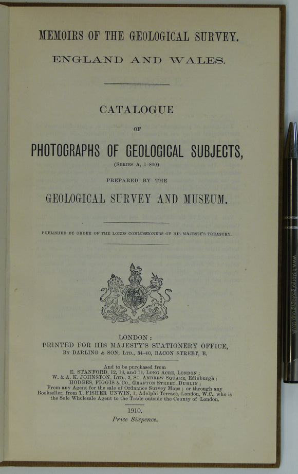
Geological Survey of E&W (1910). Catalogue of Photographs of Geological Subjects (Series A, 1-800). London: HMSO. 35pp. HB,. British Geological Survey.
Geological Survey of E&W (1910). Catalogue of Photographs of Geological Subjects (Series A, 1-800). London: HMSO. 35pp. HB, brown cloth covered boards. Library binding, bound together with) Geological Survey of...
Regular price £1200 £12.00
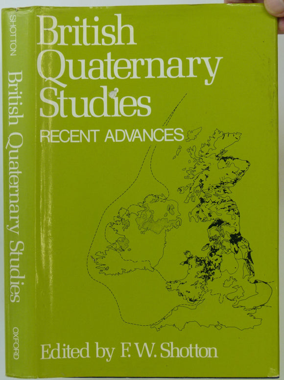
Shotton, FW. (ed) (1978). British Quaternary Studies; Recent Advances. Oxford: Clarendon. 298 +xii pp. Reprint of 1st edition, 1977. Clarendon Press.
Shotton, FW. (ed) (1978). British Quaternary Studies; Recent Advances. Oxford: Clarendon. 298 +xii pp. Reprint of 1st edition, 1977. HB. Black cloth-covered boards with gilt lettering to spine. Binding sound...
Lake, Philip, and Rastall, RH. (1931). A Text-book of Geology. London: Edward Arnold & Co. 4th edition. 520 pp + 8 pp adverts. HB. Edward Arnold.
Lake, Philip, and Rastall, RH. (1931). A Text-book of Geology. London: Edward Arnold & Co. 4th edition. 520 pp + 8 pp adverts. HB. Blue cloth-covered boards, with gilt lettering...
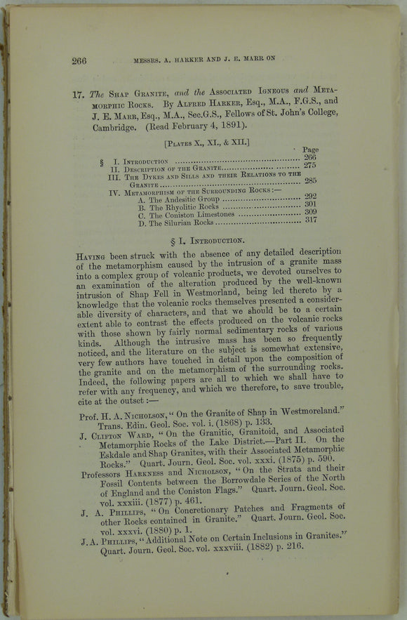
Harker, Alfred, and Marr, JE. (1891). ‘The Shap Granite, and the Associated Igneous and Metamorphic Rocks’, extract. Geological Society of London.
Harker, Alfred, and Marr, JE. (1891). ‘The Shap Granite, and the Associated Igneous and Metamorphic Rocks’, extract from the Quarterly Journal of the Geological Society, v47, pp 266 – 328...
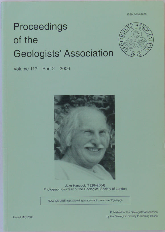
Haworth, Richard (ed).(2006). Proceedings of the Geologists’ Association, v117, pt2, pp 101-248. Memorial issue to Jake Hancock (1928-2004). Geologists' Association.
Haworth, Richard (ed).(2006). Proceedings of the Geologists’ Association, v117, pt2, pp 101-248. Memorial issue to Jake Hancock (1928-2004). See contents list in accompanying photo. PB. See contents list in accompanying...
Creese, Mary R.S & Creese, Thomas (2006). ‘British Women who contributed to research in the geological sciences in the nineteenth century’. Geologists' Association.
Creese, Mary R.S and Creese, Thomas (2006). ‘British Women who contributed to research in the geological sciences in the nineteenth century’ in Haworth, Richard (ed).(2006). Proceedings of the Geologists’ Association,...
Swinnerton, HH, and Kent, PE. (1981). The Geology of Lincolnshire; from the Humber to the Wash. Lincoln: Lincoln Naturalists’ Union. 2nd edition. 130pp. PB. Lincoln Naturalists' Union.
Swinnerton, HH, and Kent, PE. (1981). The Geology of Lincolnshire; from the Humber to the Wash. Lincoln: Lincoln Naturalists’ Union. 2nd edition. 130pp. PB, colour printed, linen-textured card cover with...
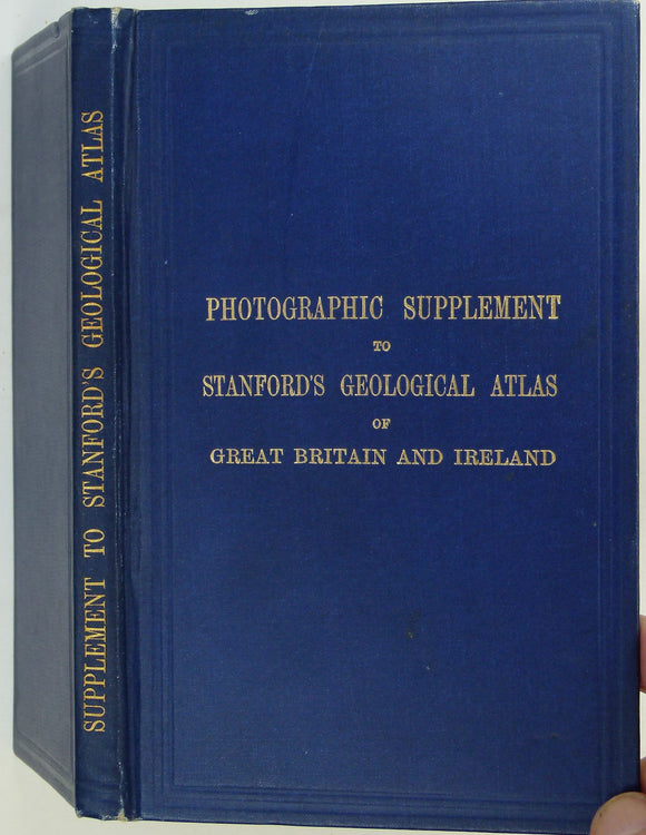
Woodward, H.B. (1913). Photographic Supplement to Stanford’s Geological Atlas of Great Britain and Ireland, 1st edition. Stanford's Atlas.
Woodward, H.B. (1913). Photographic Supplement to Stanford’s Geological Atlas of Great Britain and Ireland, 1st edition. London: Edward Stanford Ltd. 108pp. HB. Dark blue cloth-covered embossed cover with gilt title...
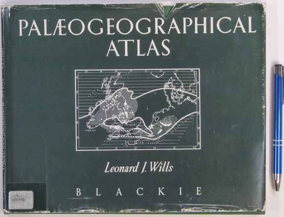
Wills, JW (1968). A Palaeogeographical Atlas of the British Isles and Adjacent Parts of Europe. London: Blackie and Son, 7th reprint of 1st edition (1951), 64pp. Hardback. Blackie & Son.
Wills, JW (1968). A Palaeogeographical Atlas of the British Isles and Adjacent Parts of Europe. London: Blackie and Son, 1st edition (1951), 64pp. Hardback, green cloth-covered boards, with dustjacket. Cover...
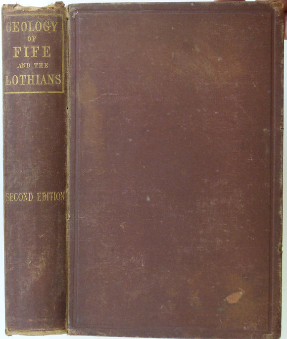
Maclaren, Charles (1866). A Sketch of the Geology of Fife and the Lothians including detailed descriptions of Arthur’s Seat and Pentland Hills. Edinburgh. A&C Black.
Maclaren, Charles (1866). A Sketch of the Geology of Fife and the Lothians including detailed descriptions of Arthur’s Seat and Pentland Hills. Edinburgh: Adam and Charles Black, 320pp. 2nd edition....
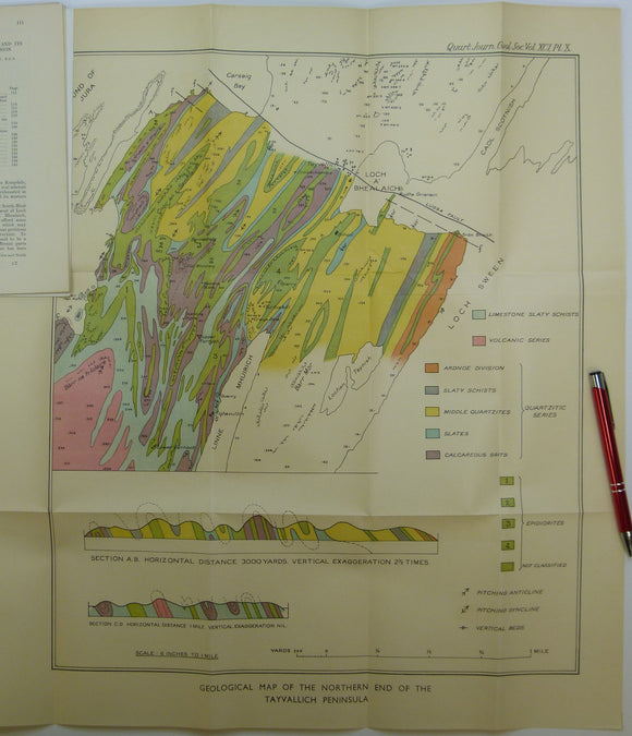
Elles, Gertrude L., (1934). ‘Geological Map of the Northern End of the Tayvallich Peninsula’ fold-out colour printed map 1:10,560. QJGS.
Elles, Gertrude L., (1934). ‘Geological Map of the Northern End of the Tayvallich Peninsula’ fold-out colour printed map 1:10,560, 52.5x44cm in ‘The Loch Na Cille Boulder Bed and its Place...
Elles, Gertrude L., (1926). ‘[Map of the] Structure of the Ben Lawers Nappe as seen on Ben Lawers and Meall Corranaich’, fold-out colour printed. QJGS.
Elles, Gertrude L., (1926). ‘[Map of the] Structure of the Ben Lawers Nappe as seen on Ben Lawers and Meall Corranaich’, fold-out colour printed map approx. 1:17,000, 29.5x46cm, and small...
Green, John FN., (1923). ‘Map of the Country about Bridgend (Islay)’. Fold-out colour printed geological map, 1:31,860. QJGS.
Green, John FN., (1923). ‘Map of the Country about Bridgend (Islay)’. Fold-out colour printed geological map, 1:31,860 (2 inches to a mile), 21.5 x 50.5cm in ‘The Structure of the...
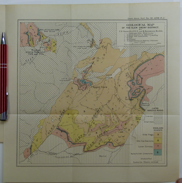
Bailey, Edward B, (1912), ‘Geological Map of the Glen Orchy District. Fold-out colour printed geological map. QJGS.
Bailey, Edward B, (1912), ‘Geological Map of the Glen Orchy District. Fold-out colour printed geological map, 1:126,720 (2 miles to an inch), 27.5 x 27cm in ‘The Glen Orchy Syncline’...
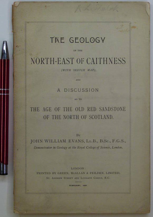
Evans, John W., (1891), geological map (untitled) of North-East Caithness. Fold-out b/w printed geological map. private publication.
Evans, John W., (1891), geological sketch map (untitled) of North-East Caithness. Fold-out b/w printed geological map, approx. 1:253,440, 42.5 x 37cm in ‘The Geology of the North-East of Caithness’ privately...
Nicol, James. (1869). ‘On the Origin of the Parallel Roads of Glen Roy, extract. QJGS.
Nicol, James. (1869). ‘On the Origin of the Parallel Roads of Glen Roy, extract from the Quarterly Journal of the Geological Society, v.25, pp.281-291. No map. Text age-toned, clean. In...
Jamieson, Thomas F., (1863). ‘Sketch-Map of a part of of Lochaber’. Fold-out colour printed map, 1:253,440. QJGS.
Jamieson, Thomas F., (1863). ‘Sketch-Map of a part of of Lochaber’. Fold-out colour printed map, 1:253,440 (4 miles to an inch), 21 x 26cm in ‘On the Parallel Roads of...
Nicol, James. (1863). ‘On the Geological Structure of the Southern Grampians’, extract. QJGS.
Nicol, James. (1863). ‘On the Geological Structure of the Southern Grampians’, extract from the Quarterly Journal of the Geological Society, v.19, pp.180-209. 12 engraved sections inserted in text. No map....
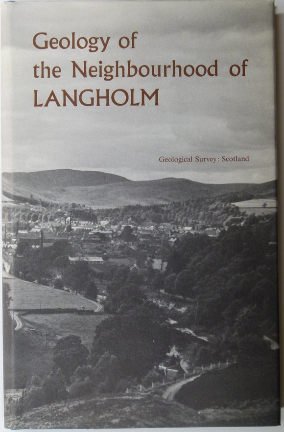
Sheet memoir 11. (1967). Lumsden, GI. et al. Geology of the Neighbourhood around Langholm. Geological Survey of Scotland. Geological Survey of Scotland.
Sheet memoir 11. (1967). Lumsden, GI. et al. Geology of the Neighbourhood around Langholm. Geological Survey of Scotland, 255pp. + 8 plates. Hard-cover, blue cloth covered boards with dust jacket,...
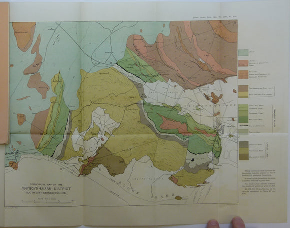
Fearnsides, W.G. (1910). Geological Map of the Ynyscyhaiarn District, South-East Carnarvonshire’, fold out colour printed map. Geological Society of London.
Fearnsides, W.G. (1910). Geological Map of the Ynyscyhaiarn District, South-East Carnarvonshire’, fold out colour printed map 1:21,120 scale (3”=1 mile), 34 x 55cm, from ‘The Tremadoc slates of South-East Carnarvonshire...