Free UK postage
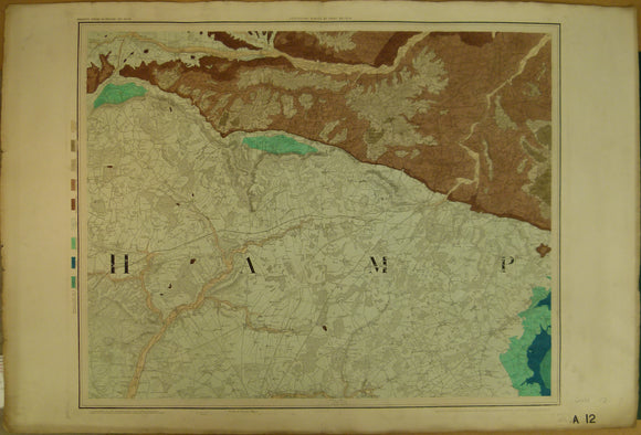
Sheet 14, Old Series 1”. 1859, 1st edition. Hampshire / Wiltshire. Hand-coloured. Geological Survey of England & Wales.
Sheet 15, Old Series 1". Dorset / Wiltshire. 1856. Hand-coloured. Geological Survey of England and Wales.
Sheet 14, Old Series 1”. 1859, 1st edition. Issued 1898. Hampshire / Wiltshire. Geological Survey of England and Wales.
Sheet 12, Old Series 1”. 1860, 1st edition. Issued 1860. Hampshire / Berkshire
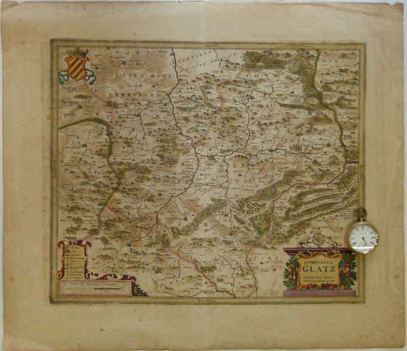
Poland. 1639. Comitatus Glatz. Authore Iona Sculteto. Henricus Hondius execudit, Amsterdam. Hand coloured engraving at 1:100,000 approx
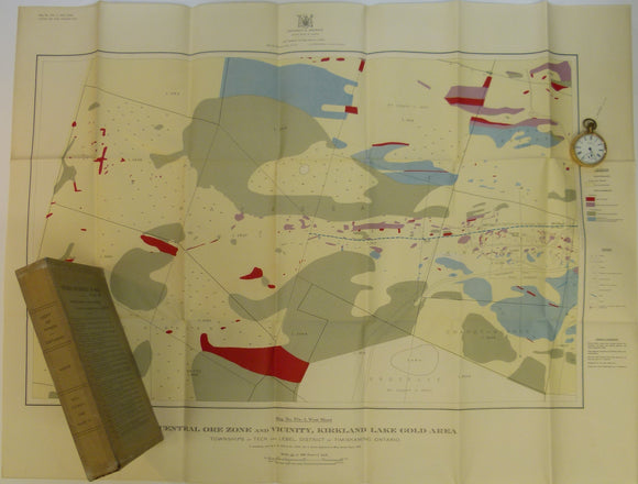
Todd, EW, 1928. Coloured Geological Maps and Sections to accompany Report on Kirkland Lake Gold Area. Dept. of Mines, Ontario
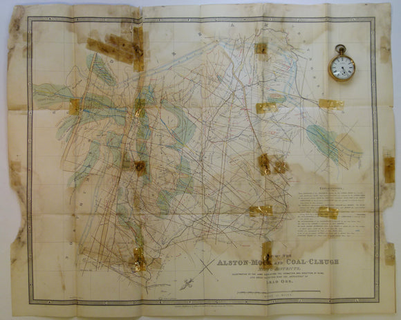
Wallace, William, 1862. The Laws which Regulate the Deposition of Lead Ore in Veins; illustrated by an Examination of the Geological Structure of the Mining Districts of Alston Moor.
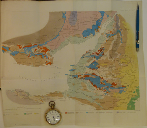
Memoirs of the Geological Survey of GB, v3, 1881. 2nd edition. ‘The Geology of North Wales’. Geological Survey of England & Wales.
Memoirs of the Geological Survey of GB, v2, pt2, 1848. incl. De la Beche on the Coals suited to the Steam Navy. Geological Survey of England & Wales.
Memoirs of the Geological Survey of GB, v1, 1846. incl. De la Beche, On the Formation of the Rocks of South Wales & SW England. Geological Survey of England & Wales.
Memoirs of the Geological Survey of GB, v1, 1846. incl. On the Denudation of South Wales and the Adjacent Counties of England. Geological Survey of England & Wales.
Memoirs of the Geological Survey of GB, v3, 1881.2nd edition.‘The Geology of North Wales’. Geological Survey of England and Wales.
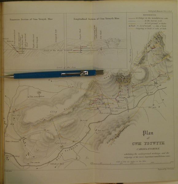
Memoirs of the Geological Survey of GB, v2, pt2, 1848. Incl. On the Mining District of Cardiganshire and Montgomeryshire. Geological Survey of England & Wales.
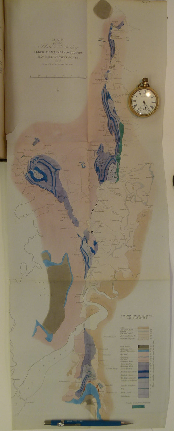
Memoirs of the Geological Survey of GB, v2, pt1, 1848. Incl. J.Phillips, The Malvern Hills. Geological Survey of England & Wales.
Memoirs of the Geological Survey of GB, v1, 1846. includes 'Formation of the Rocks of South Wales and South Western England'
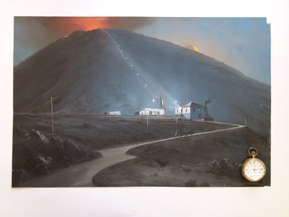
Vesuvius & funicular. 1880. Painting in body colour, 35.5 x 54cm, on cartridge paper
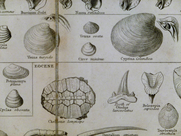
Lowry, Joseph Wilson. 1853. Tabular view of Characteristic British Fossils, Stratigraphically Arranged
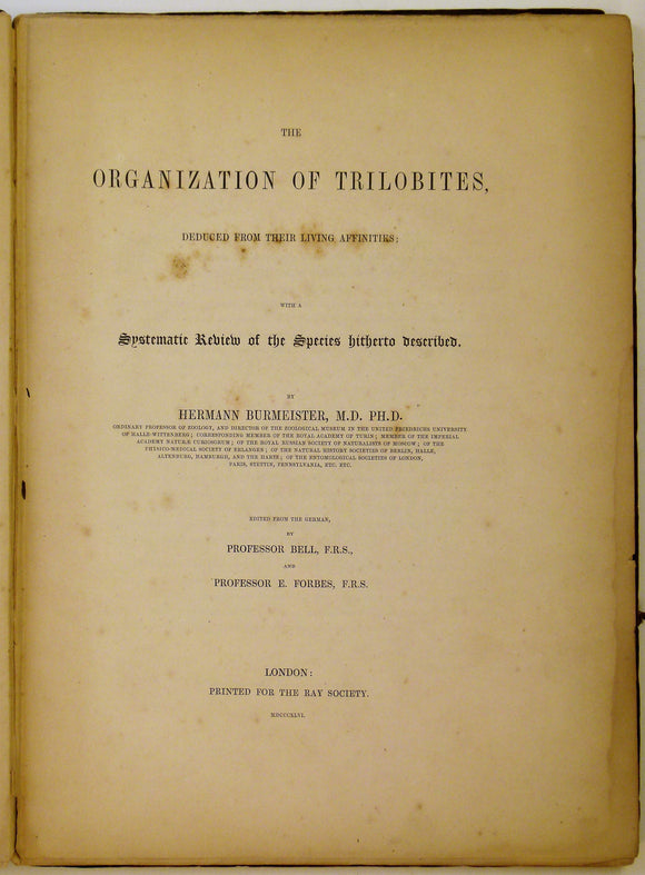
Burmeister, Herman. 1846. The Organization of Trilobites, deduced from their Living Affinities
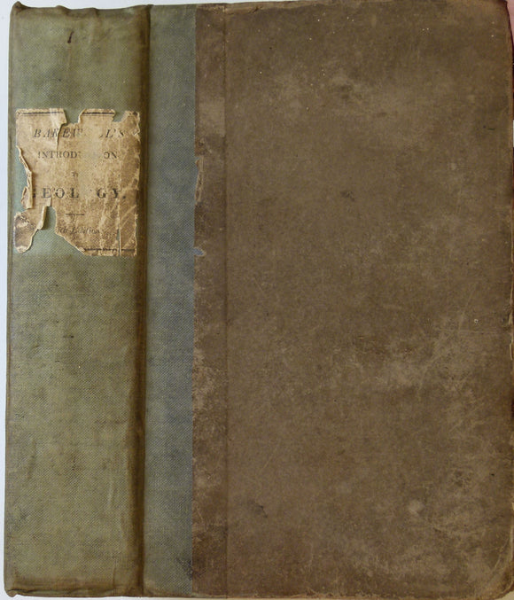
Bakewell, Robert. 1838. An Introduction to Geology: intended to convey a practical knowledge of the Science. Longman et al.
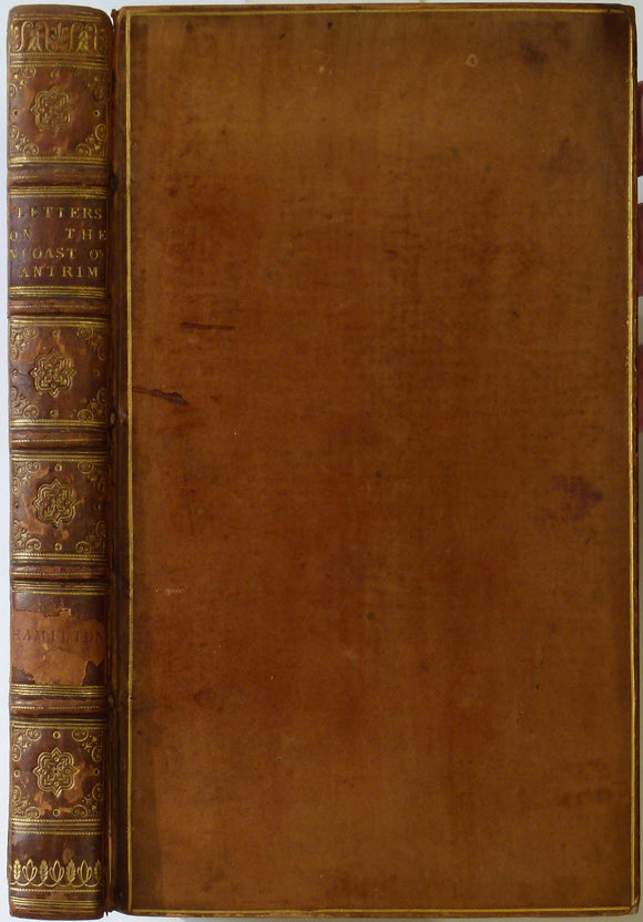
Hamilton, William. 1790. Letters concerning the Northern Coast of the County of Antrim. published by author.
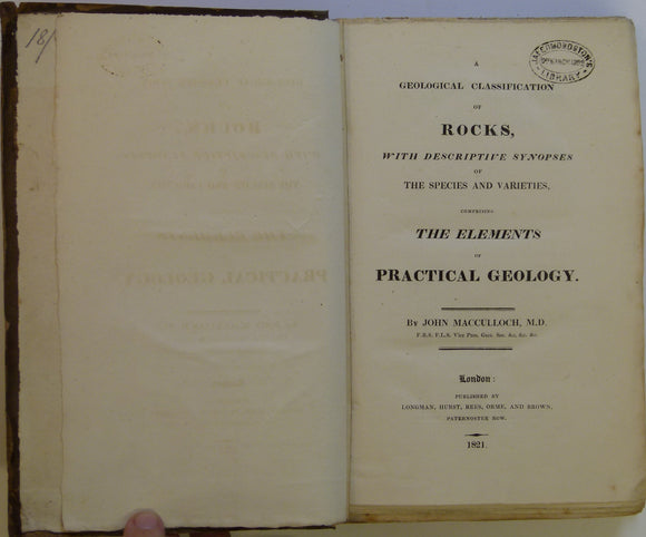
Macculloch, John. 1821. A Geological Classification of Rocks, with Descriptive Synopses of the Species and Varieties. Longman et al.
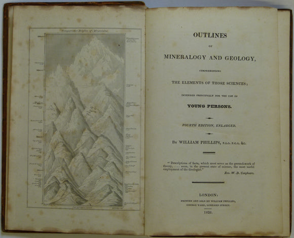
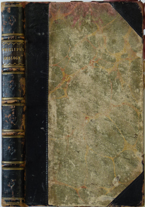
Phillips, William. 1826. Outlines of Mineralogy and Geology, Comprehending the Elements of those Sciences. Phillips, William.
Phillips, William. 1818. A Selection of Facts from the Best Authorities Arranged so as to form An Outline of the Geology of England and Wales, With a Map and Sections of the Strata. William Phillips.
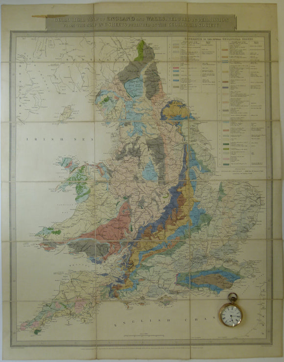
Gardner, J. 1826. Geological Map of England and Wales, Reduced from the Map in 6 Sheets Published by the Geological Society. Gardner, J..