Free UK postage
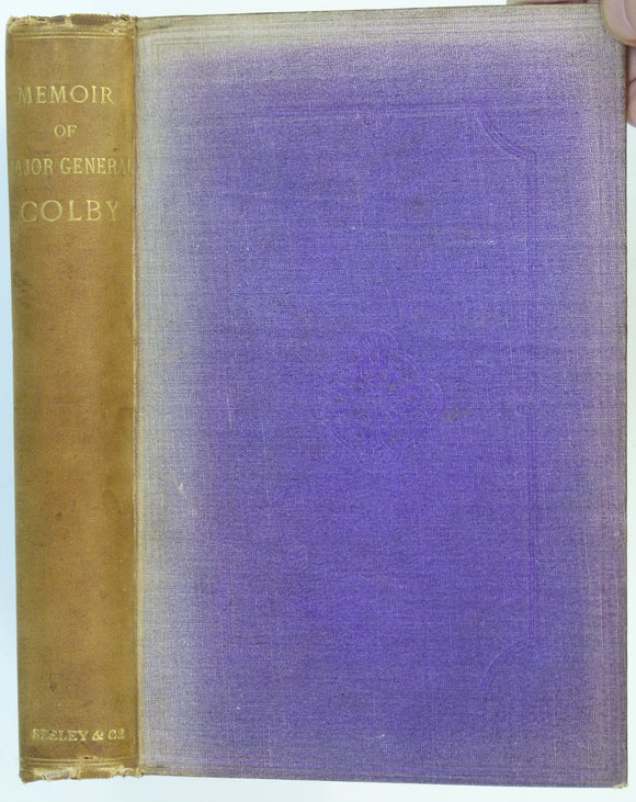
Portlock, JE (1869). Memoir of the Life of Major-General Colby, together with a Sketch of the Origin and Progress of the Ordnance Survey of Great Britain and Ireland: . Skeely Jackson.
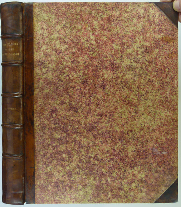
Mantell, Gideon (1822). The Fossils of the South Downs; or Illustrations of the Geology of Sussex. London: Lupton Relfe, 227 +xvi pp +42 plates. Hardback,. Lupton Relfe.
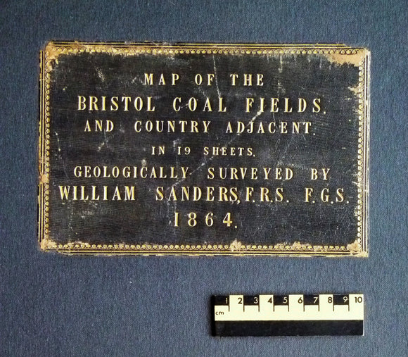
Sanders, William (1864). Map of the Bristol Coal Field and Country Adjacent in 19 Sheets, Geologically Surveyed. Hardback atlas, Rare. self published.
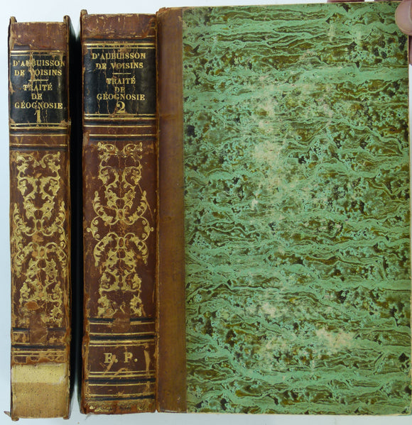
Aubuisson de Voisins, Jean François d’. (1819). Traité de Géognosie, ou exposé des connaissances actuelles sur la constitution physique et minérale du globe Terrestre. Strasbourg: FG, Levrault. 1st. FG Levrault.
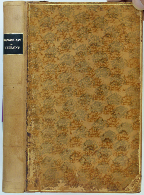
Brongniart, Alexandre (1829). Tableau des Terrains qui Composent L’Écorce du Globe, or Essai sur la Structure de la Partie Connue de la Terre. 1st edition. FG Levrault.
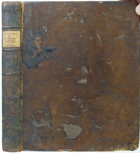
Short, Thomas. (1734). The Natural, Experimental and Medicinal History of the Mineral Waters of Derbyshire, Lincolnshire, and Yorkshire,. private publication.
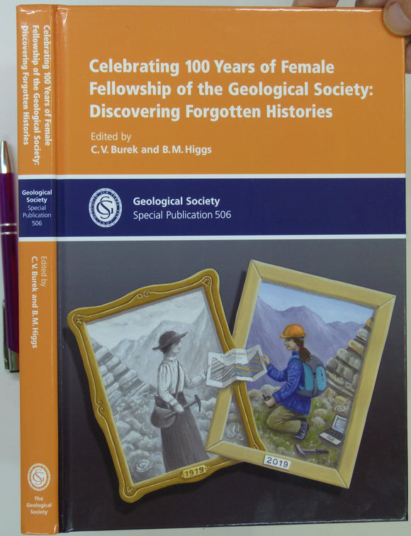
Burek, CV, & Higgs, BM. (eds). (2021). Celebrating 100 Years of Female Fellowship of the Geological Society: Discovering Forgotten Histories. Geological Society Special. Geological Society of London.
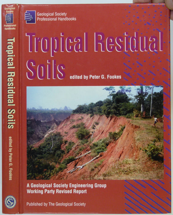
Fookes, Peter G. (ed) (1997). Tropical Residual Soils. London: Geological Society Engineering Group Working Party Revised Report, 1st ed. Geological Society of London.
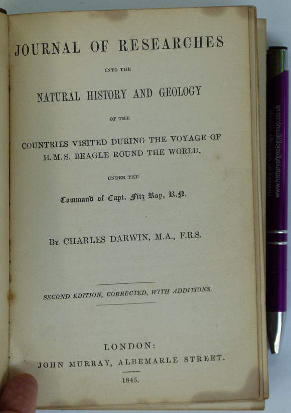
Darwin, Charles (1845). Journal of Researches into the Natural History of the Countries visited During the Voyage of H.M.S. Beagle Round the World, 2nd edition. John Murray.
Cuvier, M. [Georges]. (1818). Essay on the Theory of the Earth. With Mineralogical Notes and an Account of Cuvier’s Geological Discoveries by Prof. [Robert] Jameson. Kirk and Mercein.
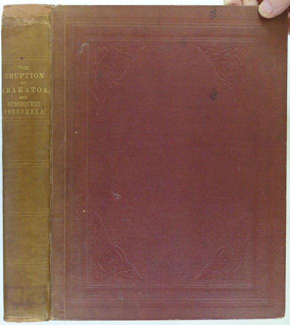
Symons, GJ, ed. (1888). The Eruption of Krakatoa and Subsequent Phenomena. Report of the Krakatoa Committee of the Royal Society. London: Trubner and Co. 1st edition. 494pp. HB,. Royal Society.
Cope, JCW, Ingham, JK and Rawson, PF (eds) (1992). Atlas of Palaeogeography and Lithofacies [of British Isles], Geological Society Memoir no.13. Geological Society of London.
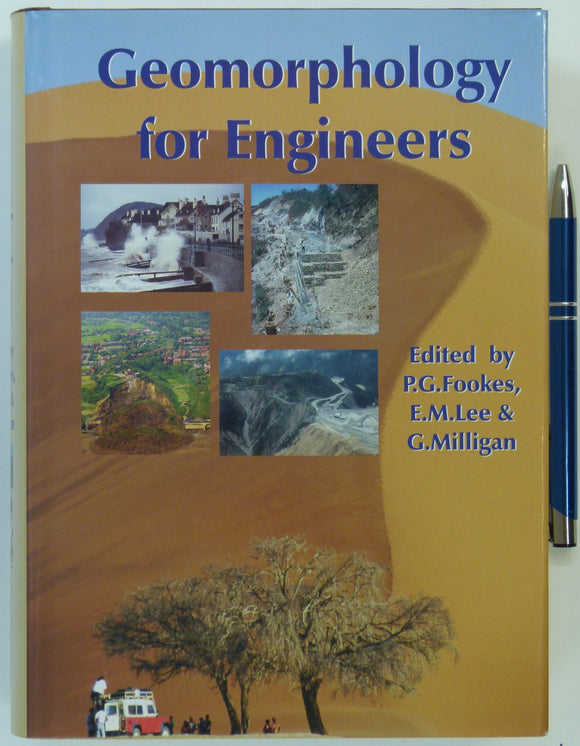
Fookes, PG et al (2005). Geomorphology for Engineers. Caithness: Whittles, 1st edition, 851pp. Hardback,. Whittles.
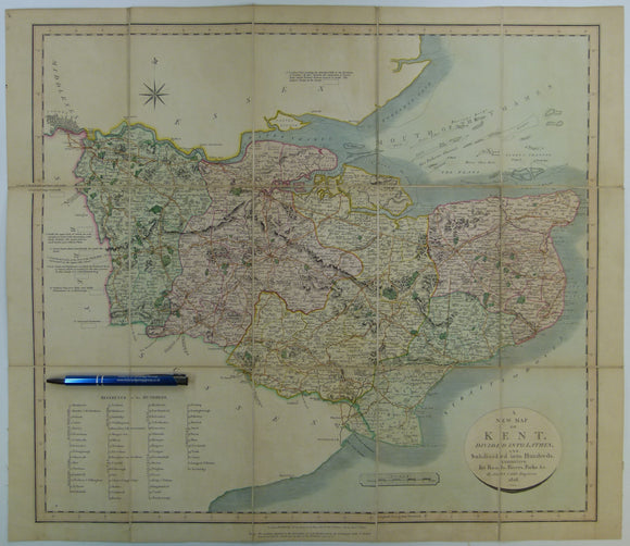
Cary, John. (1828). A New Map of Kent. London: John Cary. With William Smith's geology engraved but coloured over.Hand coloured engraved map 51.5 x 59.5cm. John Cary.
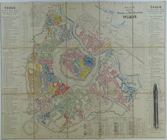
Vienna. Wien Plan der k.k. Haupt und Residenzstadt (c.1850-57). Scale approx1:17,000. Hand-coloured engraved town map 42.5 x 51cm. unknown.
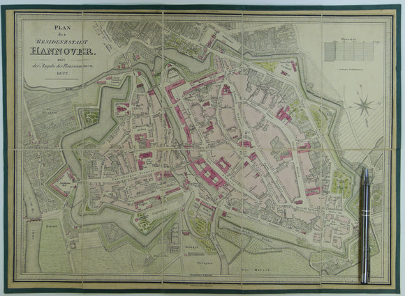
Hannover, Plan der Residenzstadt mit der Angabe der Hausnummern (1822). Edited by VW Muller and engraved by Wagner. Approx. scale 1: 3800. James Wyld.
Berghaus, Hermann, 1892. Atlas de Geologie; Berghaus Physikalischer Atlas, Abteilung 1. Gotha: Justus Perthes, 7pp+ 15 double page maps. First edition. Justus Perthes.
Johnston, James FW. (1850). Geological Map of New Brunswick [Canada]. Hand coloured lithographed map,. New Brunswick.
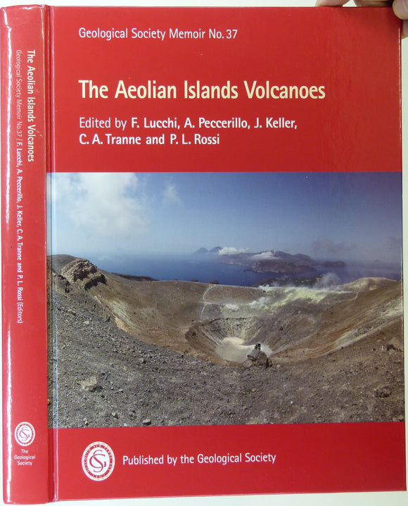
Lucchi, F. et al, (2013). The Aeolian Islands Volcanoes. London: Geological Society Memoir No.37. 519pp. + 2 DVD. First edition. HB. Geological Society of London.
Sheet 86 Drift, Old Series 1". 1887. First edition. Lincolnshire, Yorkshire: Great Grimsby, Humber River, Goole, Kingston upon Hull. Geological Survey of England & Wales.
Sheet 86 Drift, Old Series 1". 1891. Lincolnshire, Yorkshire: Great Grimsby, Humber River, Goole, Kingston upon Hull. Geological Survey of England & Wales.
Sheet 84 Drift, Old Series 1". 1893. Lincolnshire: Louth. Topography 1824, geology 1884,. Geological Survey of England & Wales.
Sheet 69 Drift, Old Series 1". 1877. First drift edition. Cambridgeshire, Norfolk, Lincolnshire: Boston,. geo.
Sheet 64, Old Series 1". 1872. First edition. Rutland, Lincolnshire, Leicestershire, Northamptonshire: Stamford,. Geological Survey of England & Wales.









![Cuvier, M. [Georges]. (1818). Essay on the Theory of the Earth. With Mineralogical Notes and an Account of Cuvier’s Geological Discoveries by Prof. [Robert] Jameson.](http://geolmaps.com/cdn/shop/products/booksmisc2_19_Cuvier_Jameson_{width}x.jpg?v=1681316435)
![Cuvier, M. [Georges]. (1818). Essay on the Theory of the Earth. With Mineralogical Notes and an Account of Cuvier’s Geological Discoveries by Prof. [Robert] Jameson.](http://geolmaps.com/cdn/shop/products/booksmisc2_19_Cuvier_Jameson_580x.jpg?v=1681316435)

![Cope, JCW, Ingham, JK and Rawson, PF (eds) (1992). Atlas of Palaeogeography and Lithofacies [of British Isles], Geological Society Memoir no.13.](http://geolmaps.com/cdn/shop/products/P1130410_{width}x.jpg?v=1668514365)
![Cope, JCW, Ingham, JK and Rawson, PF (eds) (1992). Atlas of Palaeogeography and Lithofacies [of British Isles], Geological Society Memoir no.13.](http://geolmaps.com/cdn/shop/products/P1130410_580x.jpg?v=1668514365)






![Johnston, James FW. (1850). Geological Map of New Brunswick [Canada]. Hand coloured lithographed map,](http://geolmaps.com/cdn/shop/products/JohnstonsNewBrunswick1850_{width}x.jpg?v=1617639428)
![Johnston, James FW. (1850). Geological Map of New Brunswick [Canada]. Hand coloured lithographed map,](http://geolmaps.com/cdn/shop/products/JohnstonsNewBrunswick1850_580x.jpg?v=1617639428)