Free UK postage
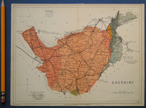
Cheshire (1913) counties geological map from Stanford’s Geological Atlas of Great Britain and Ireland, 3rd edition. Stanford's and Reynolds' Atlases.
Cheshire 30ne, 6". Burton, 1913/1923, black outline, blue geology, red contours. Geological Survey of England & Wales.
Cheshire 30nw, 6". Little Neston1913/1923, black outline, blue geological information, red contours. Geological Survey of England & Wales.
Chevalier, Tracy (2009). Remarkable Creatures. London: Harper Collins, 1st edition. 352pp. Hardback. Harper Collins.
Chivers, Tom (2021). London Clay; Journeys in the Deep City. London: Doubleday, 449pp. Hardback. Doubleday.
Clark, David & Stephen (2001). Newton's Tyranny: the Suppressed Scientific Discoveries of Stephen Gray and John Flamsteed,. WH Freeman.
Clarke, William Branwhite. (1982). The Remarkable Reverend Clarke; the Life and Times of the Father of Australian Geology. Oxford University Press.
Clarkson, Euan and Upton, Brian (2009). Death of an Ocean; a Geological Borders Ballad. Edinburgh: Dunedin Academic Press, 1st ed. Dunedin.
Clayton, Antony (2000). Subterranean City: Beneath the Streets of London. Whitstable: Historical Publications.1st edition,. Historical Publications.
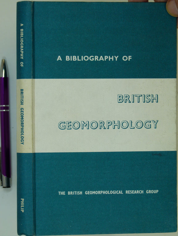
Clayton, Keith M. (ed) (1964). A Bibliography of British Geomorphology. London: George Philip & Son. 211 +x pp. 1st. George Philip and Son.
Clifton, H.E. (ed) (1988). Sedimentologic Consequences of Convulsive Geologic Events, Geological Society of America Special Paper 229. Boulder: GSA, 1st. Geological Society of America.
Clodd, Edward. Edward Clodd; a Memoir, publ. Bodley Head, London, 1932. Bodley Head.
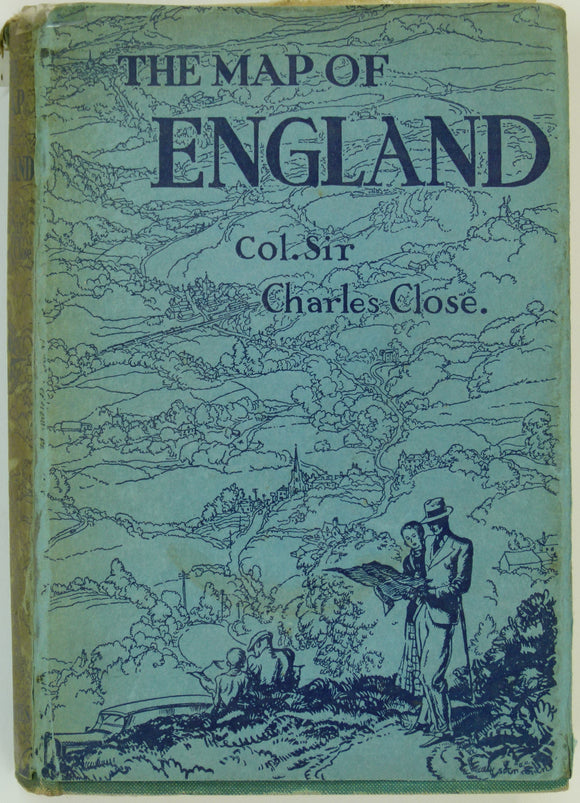
Close, Charles (1932). The Map of England, or about England with an Ordnance Map. London: Peter Davies, 166pp. Hardback,. Peter Davies.
Close, Maxwell H (1878). ‘The Physical Geology of the Neighbourhood of Dublin’, extract from the Journal of the RGSI, v.5. Royal Geological Society of Ireland.
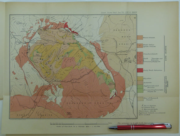
Clough, CT., Maufe, HB., and Bailey, Edward B, (1909), geological map (untitled) Glens Coe and Etive and mountains between. Fold-out colour printed. QJGS.
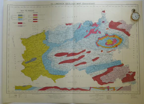
Co. Limerick Geology Map. 1969. Ordnance Survey of Ireland. Geological Survey of Ireland.
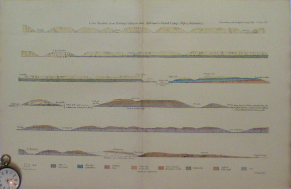
Coast Section from Fecamp (Dept of the Seine Inferieure) to Grand Camp, (Dept of Calvados),1821. Beche, de la, HT.
Cockburn, A.M. (1935). The Geology of St.Kilda. Edinburgh: Royal Society of Edinburgh. Off print from the Transactions. Royal Society of Edinburgh.
Cole, Grenville AJ. (1891). Aids in Practical Geology. London: Charles Griffin & Co. 1st edition. xiv + 402pp + 38 adverts. HB. Charles Griffin.
Congo and Ruanda Burundi. (1951). Carte Géologique du Congo Belge et du Ruanda-Urundi. Liège: Royaume de Belgique, Ministère des Colonies. Royaume de Belgique.
Congo and Ruanda Burundi. (1955). Carte Géologique du Congo Belge et du Ruanda-Urundi. Liège: Royaume de Belgique. Royaume de Belgique.
Connemara (1981). Set of three maps and sections. University of Glasgow. 1. Geology [Map] of Connemara, 59 x 106.5 cm. 2. Cross Sections. University of Glasgow.
Connemara (1990). Geology of Slyne Head and Geology of Errismore, Connemara. University of Glasgow. Sheets 48 and 49 of Galway. University of Glasgow.
Connolly, T.W.J. (1857). History of the Royal Sappers and Miners, from the formation of the Corps in March 1772, . Longman et al.


![Connemara (1981). Set of three maps and sections. University of Glasgow. 1. Geology [Map] of Connemara, 59 x 106.5 cm. 2. Cross Sections](http://geolmaps.com/cdn/shop/files/Connemaraset1inch_1_{width}x.jpg?v=1752943584)
![Connemara (1981). Set of three maps and sections. University of Glasgow. 1. Geology [Map] of Connemara, 59 x 106.5 cm. 2. Cross Sections](http://geolmaps.com/cdn/shop/files/Connemaraset1inch_1_580x.jpg?v=1752943584)