Free UK postage
de Beer, Gavin (1963). Charles Darwin: Evolution by Natural Selection, by Gavin de Beer. London: Thomas Nelson, 1st edition. Thomas Nelson.
De Geer, E.H. (1928) ‘Late Glacial Clay Varves in Iceland, . . . dated and connected with the Swedish Time-Scale’, reprint from Geografiska Annaler. Geografiska Annaler.
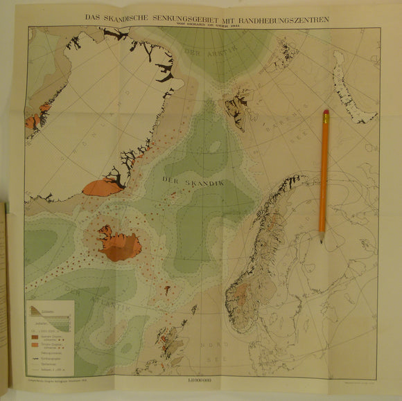
De Geer, G. 1911. Scandian Subsidence area with centres of uplift. Colour printed folded map
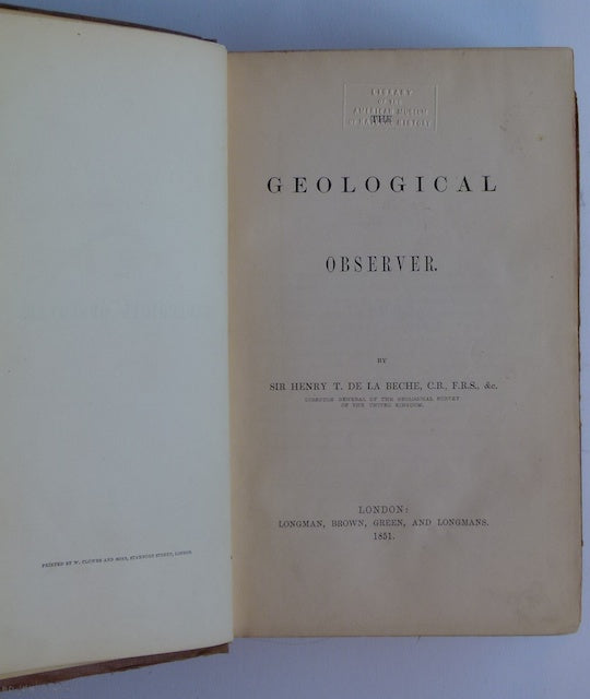
De la Beche (1851). The Geological Observer, Longmans. Longman et al.
De la Beche, H. T. (1832). A Geological Manual, Treuttel and Wurtz, London, 2nd edition. Beche, de la, HT.
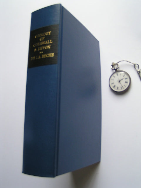
De la Beche, Henry T. (1839). Report on the Geology of Cornwall, Devon and West Somerset. Longman et al.
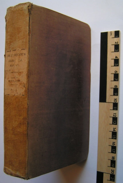
De la Beche, Henry T. 1836. How to Observe Geology. Publ Chas.Knight, London, 2nd edition. De la Beche, HT.
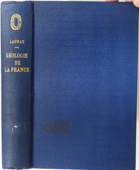
De Launay, L. (1921). Geologie de la France. Paris, Librairie Armand Colin. 1st edition. 500pp + 3 folding maps in rear pocket. 5 maps missing. Librairie Armand Colin.
De Lorenzo, Guiseppi. (1904). ‘the History of the Volcanic Action in the Phlegraean Fields’ extract from the QJGS. Geological Society of London.
Decker, R. and B. (1982). Volcanoes and the Earth’s Interior. San Francisco: Freeman, 1st edition, 2nd printing, v +141 pp. Paperback. Scientific American.
Delisse, M. 1880. ‘[Carte] Agronomie du Département de Seine-et-Marne. Colour printed fold out maps (34 x 40.5cm) at 1:500,000
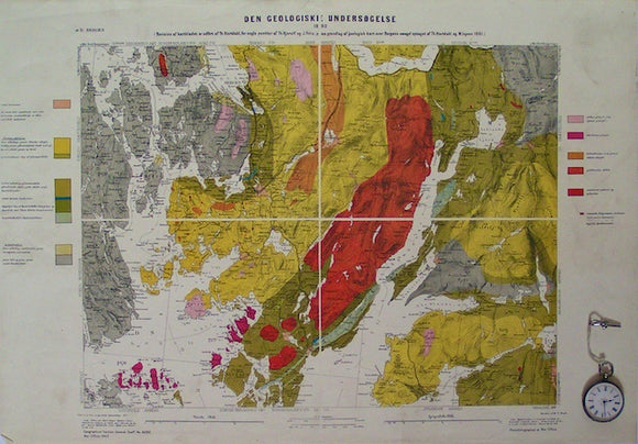
Den Geologiske Undersogelse, Bergen, 16D. GSGS4282.
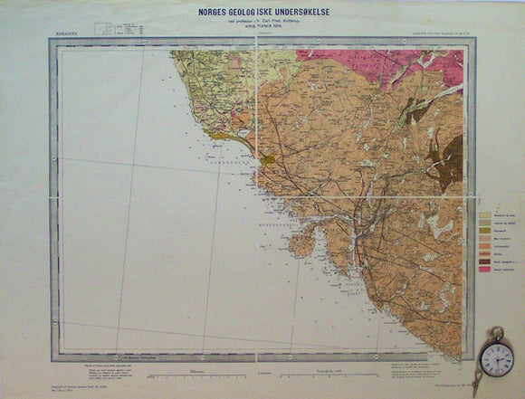
Den Geologiske Undersogelse, Egersund, 3D. GSGS4282.
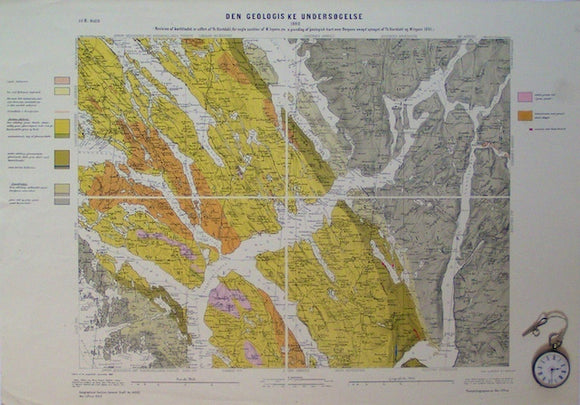
Den Geologiske Undersogelse, Haus, 22B. GSGS4282.
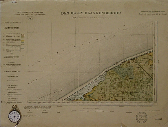
Den Haan-Blankenberghe, sheet 10. War Office (UK) GSGS 4325.
Denmark. Geologisk Kort over Danmark. Hovedlinier I Det Kvartaere Landskab [Main features of the Quaternary landscape] (1954). Geological Survey of Denmark. Geological Survey of Denmark.
Deprat, Jacques. The Deprat Affair: Ambition, Revenge and Deceit in French Indo-China. Jonathan Cape.
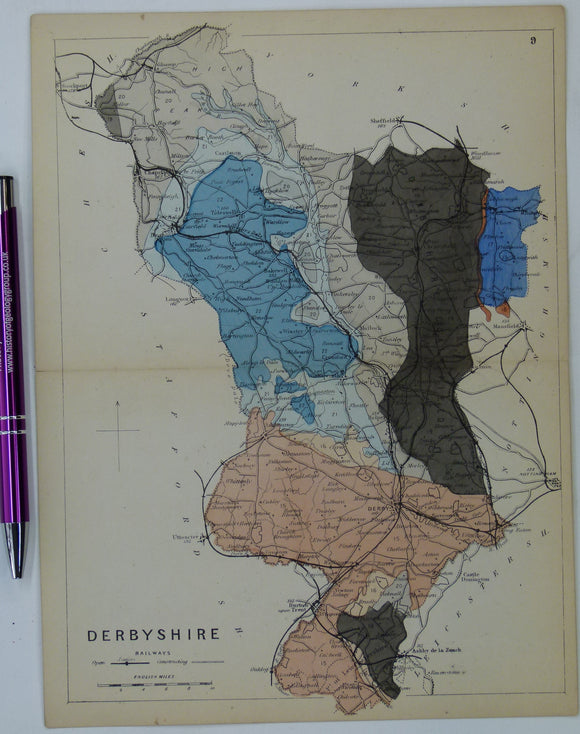
Derbyshire (1864) county geological map from Reynolds’s Geological Atlas of Great Britain, 1st edition. Reynolds.
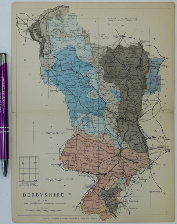
Derbyshire (1889) county geological map from Reynolds’s Geological Atlas of Great Britain, 2nd edition. Reynolds.
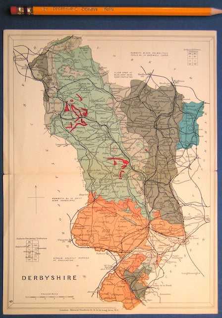
Derbyshire (1913) county geological map from Stanford’s Geological Atlas of Great Britain and Ireland, 3rd edition. Stanford's and Reynolds' Atlases.
Derbyshire 11se, 6". Dore, 1899/1921, black outline and contours, blue geology. Geological Survey of England & Wales.
Derbyshire 12se, 6". Mosborough, 1899/1921, black outline and contours, blue geology. Geological Survey of England & Wales.
Derbyshire 12se, 6". Mosborough, 1950/1954, black outline, red geology. Geological Survey of England & Wales.
Derbyshire 13nw, 6". Aston, 1900/1921, black outline and contours, blue geology. Geological Survey of England & Wales.


![Delisse, M. 1880. ‘[Carte] Agronomie du Département de Seine-et-Marne. Colour printed fold out maps (34 x 40.5cm) at 1:500,000](http://geolmaps.com/cdn/shop/products/Seine_Marne_1_{width}x.JPG?v=1547929159)
![Delisse, M. 1880. ‘[Carte] Agronomie du Département de Seine-et-Marne. Colour printed fold out maps (34 x 40.5cm) at 1:500,000](http://geolmaps.com/cdn/shop/products/Seine_Marne_1_580x.JPG?v=1547929159)


![Denmark. Geologisk Kort over Danmark. Hovedlinier I Det Kvartaere Landskab [Main features of the Quaternary landscape] (1954). Geological Survey of Denmark.](http://geolmaps.com/cdn/shop/files/DenmarkQuat_2_{width}x.jpg?v=1756918370)
![Denmark. Geologisk Kort over Danmark. Hovedlinier I Det Kvartaere Landskab [Main features of the Quaternary landscape] (1954). Geological Survey of Denmark.](http://geolmaps.com/cdn/shop/files/DenmarkQuat_2_580x.jpg?v=1756918370)